


An Unblinking Eye in the Sky
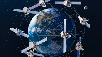
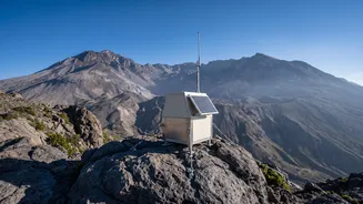
Monitoring volcanoes has historically been a dangerous, ground-based effort. Scientists would have to install and maintain sensors in hazardous locations. While this data is vital, it provides only a single point of information. Satellites offer a game-changing
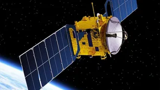
perspective. They provide continuous, broad coverage of even the most remote volcanoes, without risking human life. This constant surveillance allows scientists to establish a baseline of normal activity, making it easier to spot the subtle changes that can precede an eruption. Different satellites carry different instruments, and by combining their data, volcanologists can build a multi-layered picture of what’s happening deep underground.
Measuring Millimetres from Space
One of the most critical signs of an impending eruption is the ground itself swelling or sinking as magma moves beneath the surface. Detecting these tiny movements is possible thanks to a powerful technique called Interferometric Synthetic Aperture Radar, or InSAR. By comparing two radar images of the same area taken at different times, InSAR can create a map of ground deformation with millimetre-level accuracy. Think of it like a highly precise, evolving 3D map. A sudden uplift or change in the rate of swelling can signal that magma is rising, giving authorities a crucial, and sometimes early, warning that a volcano is becoming unstable.
Taking a Volcano's Temperature
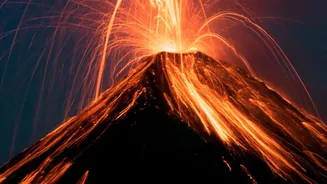
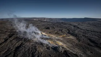
Another tell-tale sign of volcanic unrest is a change in heat. As magma gets closer to the surface, it can cause the ground temperature to rise and create thermal hotspots. Specialised satellites carrying infrared sensors can detect these temperature changes, which are invisible to the naked eye. By monitoring these thermal anomalies, scientists can track the movement of magma and identify new cracks or vents where heat is escaping. This data is especially useful for tracking the flow of lava once an eruption begins, helping emergency planners predict its path and determine which areas need to be evacuated.
Sniffing Out Dangerous Gases
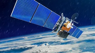
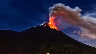
Before magma breaks the surface, it releases gases like sulphur dioxide (SO2). These gases often provide one of the earliest indications that a volcano is waking up. Atmospheric sensors on board satellites are designed to 'sniff' the air for these specific chemical signatures. An increase in SO2 emissions is a major red flag. Furthermore, once an eruption is underway, satellites play a vital role in tracking the vast plumes of ash and gas. This is critical for aviation safety, as volcanic ash can cause jet engines to fail. The 2010 eruption of Iceland's Eyjafjallajökull volcano grounded thousands of flights, highlighting how crucial satellite tracking of ash clouds is for the global community.
The Indian Context: Barren Island
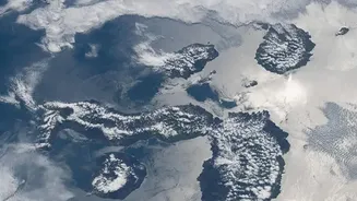
This technology is highly relevant for India, home to the Barren Island volcano in the Andaman and Nicobar archipelago, the only active volcano in the region. Due to its remote location, direct monitoring is difficult, making satellites the primary tool for keeping watch. Indian researchers and agencies like ISRO use a combination of satellite datasets to monitor thermal activity, gas emissions, and changes to the volcanic cone. This has been crucial for tracking its intermittent eruptions over the years. The monitoring of Barren Island showcases how satellite technology provides essential security and scientific insight for our own national assets.