

The View from Above: A Digital Snapshot
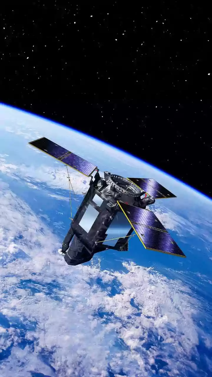
It all starts with remote sensing, which is a way of gathering information from a distance. Satellites orbiting Earth are constantly taking pictures. These aren't just ordinary photos; they capture different wavelengths of light, including those invisible
to the human eye, like infrared. This allows scientists to see much more than just the surface. They can measure plant health, ground temperature, and moisture levels over vast areas. Whether using optical sensors that work like a powerful camera or radar that can see through clouds, satellites provide a broad, constantly updated perspective on everything from deforestation to urban sprawl. Organizations like the Indian Space Research Organisation (ISRO) use a fleet of satellites to provide this crucial data for the country.
The Framework: Maps Provide Context
A satellite image on its own is just a collection of pixels. To make it useful, it needs context, and that's where Geographic Information Systems (GIS) come in. A GIS is a powerful tool that stores, manages, and visualizes all kinds of geographical data. Think of it as a smart map that can hold many layers of information. Scientists overlay satellite images onto base maps that contain known features like state boundaries, roads, rivers, and property lines. This process, called georeferencing, pins the satellite data to a specific location on Earth, making it spatially aware. Suddenly, a patch of green on a satellite image isn't just a colour; it's a forest inside a national park, 10 kilometres from the nearest town.
The Reality Check: Boots on the Ground
As powerful as satellites are, they can't tell the whole story. A satellite might detect a change in vegetation, but it can't always identify the specific plant species or the cause of the change. This is where field observations, also known as 'ground truthing', become essential. Scientists and field researchers physically go to the locations seen in the satellite images to collect firsthand data. They might take soil samples, measure water quality, survey the types of crops being grown, or count the number of damaged buildings after a flood. This on-site information is crucial for verifying and calibrating the satellite data, ensuring that what the sensors detect from space accurately reflects the reality on the ground. Without ground truthing, the interpretation of remote sensing data would be far less reliable.
The Synthesis: Creating a Single, Layered View
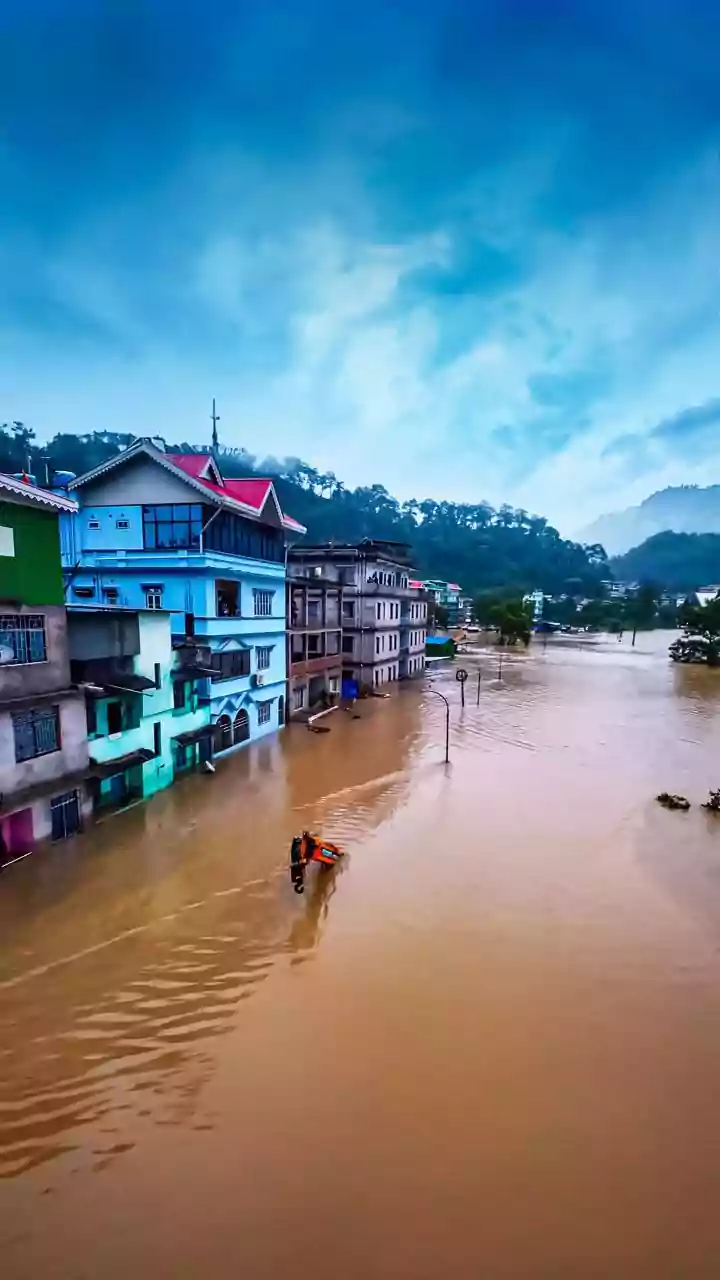
The true magic happens when these three data sources are brought together in a process called data fusion. Inside a GIS platform, scientists can layer the satellite imagery, the map data, and the field observations on top of one another. This integration creates a dynamic, multi-dimensional model of an area. For example, a satellite image might show a flooded region. By layering it with a map, officials can see exactly which roads and villages are submerged. Adding field observations about water depth and speed helps them plan effective rescue operations. This fusion of data turns disjointed observations into a coherent and actionable intelligence tool.
From Data to Decisions in India
This integrated approach is not just an academic exercise; it's a vital tool for governance and development in India. During natural disasters like floods and cyclones, ISRO provides near real-time satellite data to emergency responders. This information, combined with maps and ground reports, helps authorities issue timely warnings, identify safe evacuation routes, and assess damage. In agriculture, fusing satellite data on crop health with field data on soil conditions helps create strategies for improving yields and managing resources. For urban planning, it allows officials to monitor illegal construction, manage the expansion of cities like Mumbai and Delhi, and plan for new infrastructure in a way that is sustainable and informed by real-world data.