





France's Summer of Fire
France is grappling with a historically severe wildfire season, exacerbated by intense European heatwaves. Fires have scorched vast areas, particularly in the southwestern Gironde region near Bordeaux, forcing the evacuation of hundreds of thousands of residents
and tourists. The scale of the blazes is immense, with one fire in Gironde growing to an area four times the size of Paris. While southern France is traditionally prone to wildfires due to its hot, dry summers and strong winds, climate change is expanding the risk into new regions of the country. Authorities are battling dozens of new fires daily, describing the situation as exceptionally challenging and unpredictable.
What Is a Fire Cloud?
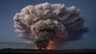
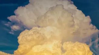
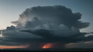
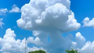
The ominous phenomenon seen over France is a pyrocumulonimbus cloud (PyroCb), often called a "fire cloud" or a fire-generated thunderstorm. These are not normal storm clouds; they are born directly from the intense energy of a massive wildfire. The process begins when the extreme heat from the fire forces a huge column of superheated air, smoke, and water vapor to rocket upwards into the atmosphere. As this plume rises into the colder, lower-pressure air above, the moisture condenses around ash particles, forming a towering cloud that looks like a dirty, electrified thunderhead.
The Science of Fiery Lightning
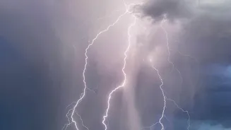
Once a fire cloud reaches a sufficient altitude where temperatures are below freezing, a dangerous transformation occurs. Water droplets freeze into ice crystals, colliding with each other inside the turbulent cloud. This friction generates massive amounts of static electricity, just like in a regular thunderstorm. The cloud becomes a self-contained weather system, building up electrical charges that are eventually released as lightning. The terrifying twist is that this lightning often occurs without any rain reaching the ground, as the intense heat from the fire below can evaporate the precipitation. This results in "dry lightning" that strikes the already tinder-dry landscape, sparking new fires far from the original blaze.
A New Nightmare for Firefighters
For the crews on the ground, a pyrocumulonimbus cloud is a worst-case scenario. The formation of the cloud confirms that the fire has become exceptionally intense and unpredictable. The cloud creates its own weather, including powerful, erratic winds. Strong updrafts suck air and oxygen into the fire, making it burn hotter, while violent downdrafts can blast outwards, pushing the flames in completely new directions without warning. This makes the fire's spread impossible to forecast, cutting off escape routes and putting firefighters in extreme danger. French officials noted that the event in Gironde, a first-ever recorded instance for the country, meant the inferno was no longer just being driven by the weather—it was making its own.
A Glimpse into a Hotter Future
While more common in the vast wildlands of North America and Australia, the appearance of a pyrocumulonimbus in France is a startling development for Europe. Experts see it as a clear sign of how climate change is intensifying wildfire behavior. As global temperatures rise, heatwaves become more severe and prolonged, creating the perfect conditions for megafires capable of generating their own weather. These fire-breathing storms represent a dangerous feedback loop: a hotter planet leads to more extreme fires, which in turn create weather that spreads fire even further. What was once a rare phenomenon is becoming an increasingly frequent and dangerous feature of our world's fire seasons.