





The Challenge of the Lunar South Pole
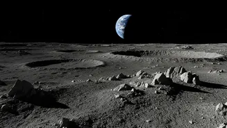
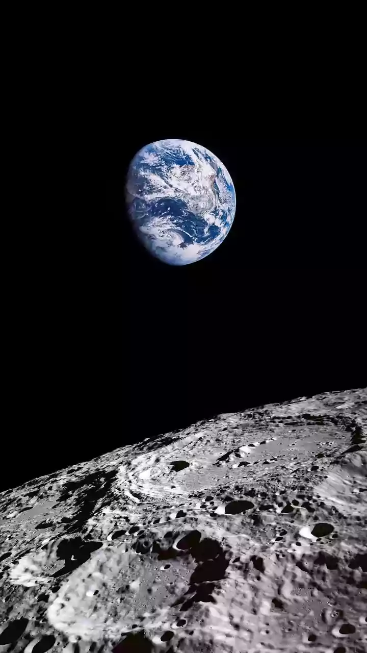
Unlike the relatively flat, well-lit areas explored during the Apollo missions, the targets for NASA's Artemis program are far more treacherous. Astronauts are headed for the lunar south pole, a region of extreme contrasts. It's a landscape of towering
mountains and deep craters, some of which have been shrouded in permanent darkness for billions of years. These permanently shadowed regions are scientifically fascinating because they may hold vast deposits of water ice, a crucial resource for future long-term missions. However, the same conditions that preserve the ice make navigation incredibly difficult. The low angle of the sun creates long, sharp shadows that can hide dangerous craters and boulders, while the lack of atmosphere means there's no scattered light to illuminate hazards.
A GPS for the Moon
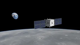
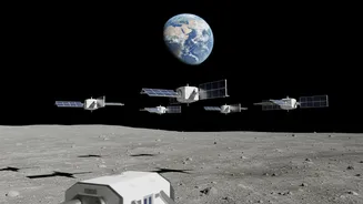
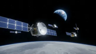
On Earth, we take GPS for granted. On the Moon, astronauts have no such luxury. To solve this, NASA is developing a suite of technologies that act like a lunar navigation system. One key piece of technology is the NavCube3-mini, a compact receiver recently delivered to the private company Intuitive Machines. This small but powerful device is designed to detect the faint signals from Earth's GPS and Galileo satellites at lunar distances. By flying this payload on a lunar relay satellite, NASA can test the ability to create an independent source of position, velocity, and time data for spacecraft orbiting and operating on the Moon. This forms the backbone of a future communications and navigation network around the Moon, much like the GPS network orbiting Earth.
Seeing in the Dark with Smart Maps
While a lunar GPS provides a general location, landing and traversing safely requires knowing exactly what's under your feet. This is where Terrain-Relative Navigation (TRN) comes in. TRN is a sophisticated system that uses high-speed cameras and lasers to map the surface in real-time. During descent, the lander's computer compares the live images with pre-loaded, high-resolution orbital maps of the landing zone. By matching craters and other features, the system can determine its precise location to within meters and, if necessary, divert to avoid hazards like large rocks or steep slopes that weren't visible in the orbital maps. This technology essentially gives the spacecraft 'eyes' to see and react to the terrain, a critical capability for the unlit and unpredictable south pole.
Building the Lunar Highway
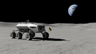
These navigation payloads are revealing that it is possible to operate safely and precisely in the Moon's most challenging environments. What this technology uncovers isn't one single route, but the ability to create countless safe routes on demand. By combining a reliable positioning system with real-time hazard avoidance, NASA is effectively building the infrastructure for a lunar 'highway system.' Technologies like the Navigation Doppler Lidar (NDL), which precisely measures velocity and altitude, have already proven successful in test flights, showing they can guide landers to a soft touchdown. These tools will allow future landers, rovers, and even astronauts on foot to navigate with confidence, knowing their path is clear of unseen dangers. This transforms previously inaccessible areas into viable destinations for science and exploration.