

The Challenge of the First Spark
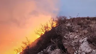
Every major wildfire begins with a single spark. The critical period is the time between that ignition and when first responders are alerted. Traditionally, detection has relied on a patchwork of systems: public reports, watchtowers, and occasional aircraft
patrols. More recently, existing satellites have provided a view from space, but they come with significant limitations. Many Earth-observing satellites orbit the globe infrequently, meaning a fire can burn for hours before it is spotted. Furthermore, their sensors are often low-resolution, making it difficult to detect small but growing fires, sometimes missing anything smaller than a football field. These delays give a small, manageable blaze the chance to escalate into an uncontrollable megafire, threatening lives, property, and entire ecosystems.
An Eye in the Sky Built for Fire
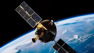
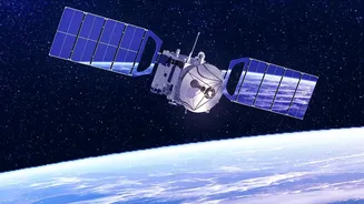
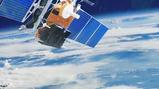
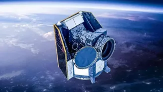
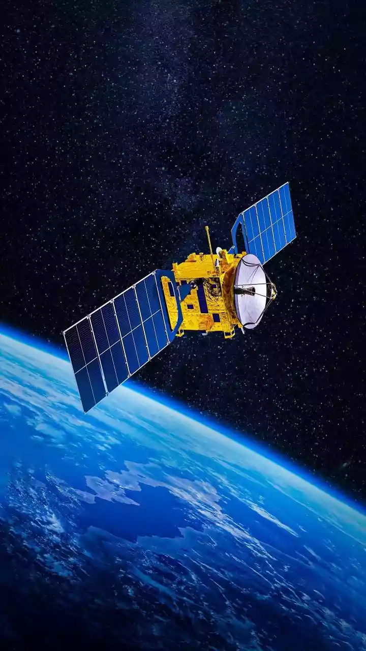
This is the problem FireSat aims to solve. It isn’t just another satellite that happens to see fires; it is the first satellite constellation designed specifically for wildfire detection. The project is a global collaboration between the nonprofit Earth Fire Alliance, the satellite manufacturer Muon Space, and technology partners like Google Research. The initiative launched a successful prototype satellite in March 2025, which proved capable of spotting small, cool fires that existing systems missed. Building on that success, the first three operational FireSat satellites were launched in July 2026, marking the formal beginning of the operational constellation. The goal is to create a network that provides a continuous, vigilant watch over the entire planet.
How the Technology Works
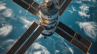
FireSat's advantage lies in its specialized sensors and its planned numbers. Each satellite is equipped with a sophisticated 6-channel multispectral infrared radiometer. In simple terms, these sensors are designed to detect heat signatures, allowing them to spot fires day or night, and even through smoke. The system is sensitive enough to detect a heat anomaly as small as 5x5 meters. When a potential fire is detected, artificial intelligence helps confirm it, comparing the image to previous scans and factoring in weather data to reduce false alarms. With the first operational satellites now in orbit, the revisit time for fire-prone regions will be at least twice daily. As more satellites are added over the coming years, the plan is to build a full constellation of around 50 satellites, which would be able to scan nearly the entire Earth's surface every 20 minutes.
Relevance for India's Forests
The potential impact of such technology is immense for a country like India, which faces recurring forest fires. Regions in states like Uttarakhand, Himachal Pradesh, and Odisha are highly susceptible to seasonal fires that cause significant ecological and economic damage. India's own alert systems, like the one managed by the Forest Survey of India, currently rely on satellite data that provides updates about six times a day. While a crucial tool, this frequency still leaves large windows for a fire to spread. A system like FireSat, with its eventual goal of 20-minute updates, could drastically shorten the detection-to-response timeline. Faster alerts mean local authorities can dispatch resources while a fire is still small and controllable, potentially saving vast tracts of forest and protecting communities living nearby. The data could also be invaluable for scientists studying fire patterns and improving predictive models in the Indian context.
The Road to a Global Shield
While the launch of the first operational satellites is a major milestone, achieving a near-real-time global monitoring system is a long-term project. Expanding the constellation to over 50 satellites requires significant and sustained investment. The technical challenges of launching, operating, and networking such a large number of satellites are substantial. Furthermore, processing and distributing the massive volume of data to fire agencies across the globe in a timely and actionable format is a complex logistical task. The project operates on a unique partnership model, blending philanthropic funding from organizations like Google.org with private sector innovation and public sector collaboration to tackle these hurdles. The initial data from the first three operational satellites is expected to reach early adopters in late 2026, with global access anticipated by 2028 as the constellation grows.