




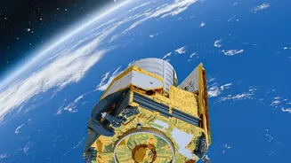
A Constant Eye in the Sky
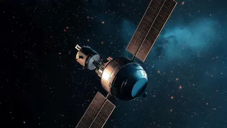
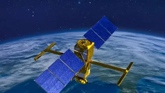
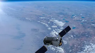
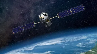
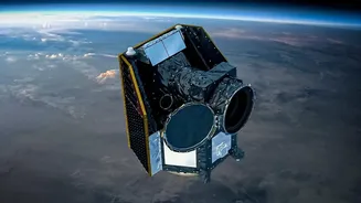
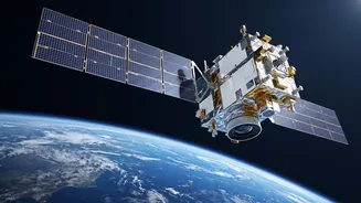
At its core, the EOS-05 mission was designed to give India a capability few nations possess: a persistent, unblinking eye over the subcontinent from a geostationary orbit. Most Earth observation satellites, like those in the Cartosat series, operate in Low
Earth Orbit (LEO), circling the globe and capturing images of a specific area for only brief moments before moving on. It might take hours or even days for them to revisit the same spot. EOS-05, also known as GISAT, was intended to be different. By being placed in a high-altitude orbit approximately 36,000 kilometres above the Earth, it would match the planet's rotation. This would allow it to hover over the Indian landmass, providing near-real-time imagery of large areas. The objective was to image a selected field every five minutes and the entire country every half hour, a revolutionary capability for continuous monitoring.
Beyond Pictures: A Strategic Tool
The bigger context for EOS-05 lies in its dual-purpose nature. While its advanced imaging sensors had significant civilian applications, its strategic value was undeniable. For a country with complex security challenges, a satellite that can provide continuous surveillance of its borders is a powerful asset. This 'eye in the sky' was intended to monitor maritime zones and sensitive border regions like the Line of Actual Control (LAC) and the Line of Control (LoC), offering timely intelligence. Beyond defence, its role in disaster management was equally crucial. In a region prone to cyclones, floods, and forest fires, the ability to track rapidly developing events in near real-time is a life-saving advantage. By providing frequent updates on weather patterns and environmental hazards, the satellite was poised to dramatically shorten reaction times for emergency services, helping to mitigate damage and protect communities. It was also expected to benefit agriculture by monitoring crop health and land-use changes.
The Challenge of Innovation
The story of India's first geo-imaging satellite is also one of resilience. The original attempt to launch this satellite, then named EOS-03 (or GISAT-1), ended in failure in August 2021. A technical anomaly in the cryogenic upper stage of the GSLV-F10 rocket meant the satellite could not be placed into its intended orbit. Such setbacks, while disappointing, are an inherent part of space exploration, especially when dealing with complex and cutting-edge technology like cryogenic engines. For the Indian Space Research Organisation (ISRO), it was a critical learning experience. Rather than abandoning the ambitious goal, the agency identified the cause and moved forward. The subsequent mission, designated EOS-05, became a second attempt, carrying the hopes and lessons from the first. This journey highlights a crucial reality of the space sector: innovation always comes with risk, and progress is often built on the lessons learned from failures.
The Path Forward and a Growing Constellation
The successful launch of EOS-05 in September 2026 aboard the GSLV-F17 rocket was more than just a single achievement; it was a vindication of ISRO's persistence. It marked the end of a launch hiatus for the agency and restored confidence in its heavy-lift GSLV vehicle. With EOS-05 successfully reaching orbit, India officially joined an exclusive club of nations operating a dedicated imaging satellite from a geosynchronous platform. This capability does not exist in a vacuum. It complements India's extensive network of Earth observation satellites already in orbit. By combining the persistent, wide-area view of EOS-05 with the high-resolution imagery from LEO satellites, ISRO has created a more comprehensive and robust national Earth observation system. This integrated approach strengthens India’s capacity across all its intended applications, from strategic surveillance to environmental monitoring, proving that the vision behind the original mission was not only sound but essential for the nation's future.