






A Game-Changer in a High Orbit
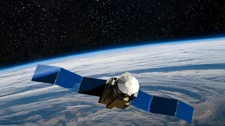
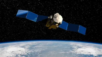
EOS-05, also known as GISAT-1A, is India's first successful geo-imaging satellite. Most Earth observation satellites, like those in the Cartosat series, circle the planet in a Low Earth Orbit (LEO), typically a few hundred kilometres up. They capture
incredibly detailed images but can only see a specific location for a brief moment as they pass overhead. EOS-05 is different. It operates from a geosynchronous orbit, a staggering 36,000 kilometres away. At this altitude, its orbit is synchronized with the Earth's rotation, allowing it to remain seemingly stationary over the Indian subcontinent. This provides a persistent, unwavering gaze—a true 'eye in the sky' that never blinks.
Redemption After a Setback
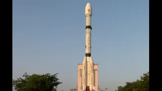
The success of EOS-05 is made even more significant by its history. This mission is a second attempt. In August 2021, its predecessor, EOS-03 (the original GISAT-1), was lost due to a technical anomaly in the GSLV rocket's cryogenic upper stage. That failure was a major setback for the Indian Space Research Organisation (ISRO). The successful launch of EOS-05 aboard the GSLV-F17 not only redeems the 'naughty boy' rocket but also validates the crucial cryogenic engine technology and ends a difficult chapter for the agency. This launch was ISRO's first success of 2026, marking a technical and psychological milestone.
What Can EOS-05 Actually See?
From its high perch, EOS-05 trades some of the extreme detail of LEO satellites for near-constant coverage. It carries advanced imaging instruments, including multispectral and hyperspectral sensors. These allow it to see beyond what the human eye can, analysing everything from vegetation health and soil moisture to atmospheric aerosols. The satellite can capture an image of a specific region of interest every five minutes and scan the entire Indian landmass every half hour with a respectable resolution of 42 metres. This capability to repeatedly image large areas makes it invaluable for monitoring fast-changing events.
Real-Time Benefits for a Billion People
The true milestone of EOS-05 lies in its practical applications for India. For disaster management, it's a revolutionary tool. Agencies can now track the development of cyclones in the Bay of Bengal, monitor the spread of forest fires, and get timely warnings for floods and cloudbursts in near-real time. This drastically cuts down reaction times and can help save lives. For agriculture, the satellite's data will provide insights into crop health and water stress over large areas. While ISRO has stressed its civilian purpose, the persistent, wide-area observation also provides significant strategic value for monitoring border regions and maritime passages.