




The Source of the Surge
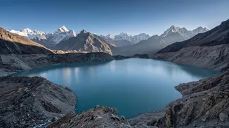
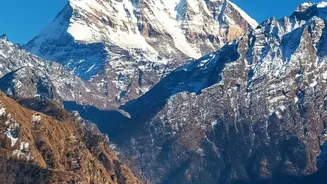
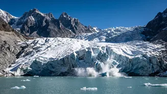
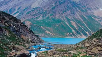
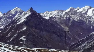
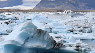
The primary triggers for Nepal's devastating flash floods originate high in the Himalayas. One major cause is the accelerating melt of glaciers due to rising global temperatures. This creates and expands glacial lakes, which are often dammed by unstable
walls of rock and debris left by retreating glaciers. When these natural dams fail, an event known as a Glacial Lake Outburst Flood (GLOF), they can release catastrophic volumes of water and debris downstream with little to no warning. Compounding this threat are increasingly erratic and intense monsoon rains. A warmer atmosphere holds more moisture, resulting in heavier downpours that can saturate hillsides, trigger landslides, and overwhelm river systems. In some cases, a single event like a landslide can block a river, creating a temporary dam that eventually bursts, sending a torrent of water rushing through valleys below.
A Treacherous Path Downstream
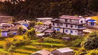
The journey of this floodwater from the high mountains to the lowlands is being made faster and more destructive by human activity. Widespread deforestation, particularly in the fragile Chure and Mahabharat hill ranges that lie between the Himalayas and the plains, has stripped away the natural vegetation that helps stabilize slopes and absorb rainwater. Unregulated sand and gravel extraction from riverbeds weakens the natural capacity of rivers to manage floodwaters. Furthermore, rapid and often haphazard infrastructure development, including the construction of roads and buildings along floodplains, not only puts more people and property in harm's way but also alters natural drainage patterns, funnelling water into concentrated, high-velocity channels. This combination of factors means that water that once might have been absorbed or slowed in the hills now rushes unimpeded towards the plains.
The Vulnerable Plains
The destination for this surge is often the Terai, the belt of flat, low-lying plains that runs along Nepal's southern border with India. This region is the nation's agricultural heartland and home to a large portion of its population. Its flat topography, which makes it ideal for farming, also makes it incredibly vulnerable to flooding. Unlike in the narrow mountain valleys where floodwaters are constricted, here the water can spread out over vast areas, inundating entire communities and destroying thousands of hectares of crops. The fertile land, critical for livelihoods and national food security, can be washed away or buried under layers of sediment. For the millions who live in the Terai, often in informal settlements with limited resources, a major flood can mean the loss of homes, livestock, and any sense of security.
A Race Against the Water
In response, Nepal is in a race to improve its disaster preparedness. Significant strides have been made in developing early warning systems that have evolved from volunteers in bamboo watchtowers to automated sensors that monitor river levels and rainfall. These systems provide crucial lead time for communities to evacuate. However, major challenges remain. Many existing warning systems are limited to major rivers, leaving smaller but still dangerous tributaries unmonitored. Furthermore, simply issuing a warning is not enough; ensuring it reaches remote communities and that those communities have the capacity and clear evacuation routes to act on it is a persistent hurdle. Given that many of Nepal's rivers flow across the border, cross-border cooperation on data sharing and flood warnings with India is also essential to managing the risk effectively across the entire basin.