





A New Eye in the Sky
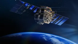
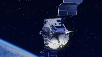
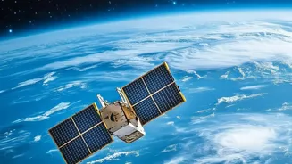
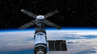
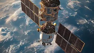
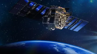
For decades, gazing down at Earth was the exclusive domain of powerful government space agencies. Today, the sky is buzzing with activity from the private sector. Companies are launching large constellations of small, powerful satellites that can image
the same location multiple times a day, a dramatic increase in frequency. This shift is driven by advancements in miniaturised sensors and the commercialisation of space, which has lowered barriers to entry. Technologies like Synthetic Aperture Radar (SAR) allow these new eyes to see through clouds and darkness, providing consistent monitoring regardless of weather or time of day. This proliferation of high-resolution optical and radar imagery means that what was once a rare, strategic asset is becoming a widely available stream of data, positioning Earth observation as a core part of the global digital economy.
The AI-Powered Brain
Having thousands of images is one thing; understanding them is another. This is where Artificial Intelligence becomes the engine of modern Earth observation. The sheer volume of data—projected to be over two billion gigabytes cumulatively by 2032—is far too vast for human analysts to handle alone. AI and machine learning algorithms are essential for processing this data at scale and speed, converting chaotic pixels into structured, actionable information. These systems can automatically detect objects, classify land use, and spot changes over time, from tracking illegal construction to identifying crop stress before it's visible to the naked eye. Increasingly, AI is even being placed directly on satellites, allowing for real-time analysis and alerts without needing to first send massive datasets back to Earth.
Promise and Progress
The combination of constant observation and intelligent analysis has enormous benefits. In India, where the satellite data services market is growing rapidly, these technologies are transforming key sectors. Precision agriculture uses satellite insights to monitor crop health and optimise water use, boosting food security. During natural disasters, AI-driven damage assessment from satellite imagery can accelerate humanitarian aid and recovery planning. Businesses can monitor global supply chains, while city planners can track urban growth and manage infrastructure more effectively. This boom is supported by government policies like allowing 100% FDI in satellite manufacturing and the rise of a vibrant domestic spacetech startup ecosystem, with companies like Pixxel and Dhruva Space making significant strides. India aims to grow its share of the global space economy from around 2-3% to 8-10% in the next decade.
The Governance Gap
This powerful new capability also brings profound challenges. The same high-resolution data used to map flood damage can also be used by malicious actors for targeting or surveillance. This 'dual-use' dilemma creates a major governance problem. Who is accountable when this data is misused? The legal frameworks are struggling to keep up. Under international law, private companies operate under the jurisdiction of their home country, which issues licenses for their activities. However, there is a growing debate over privacy, as these satellites can capture detailed information about public and private spaces, often without the public's full awareness. As the orbit becomes more congested, questions of access, responsibility, and data sovereignty become more urgent. There is a clear tension between the rapid pace of commercial innovation and the slower, more deliberate process of establishing international norms and regulations.