




The Persistent Challenge of False Alarms
For decades, firefighters and scientists have used satellites to hunt for fires. Existing systems are good at spotting large areas of heat from orbit. However, they've always struggled with a critical problem: context. Current weather and Earth-observing
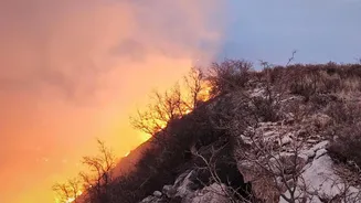
satellites often have low resolution or only pass over the same spot a few times a day. This makes it difficult to detect fires when they are small and easy to contain. More importantly, these systems often can't distinguish between different types of heat. A satellite might flag a thermal anomaly, but it could be anything from a remote industrial site to a patch of sun-baked rock or a harmless bonfire. This creates a high rate of false positives, which can waste valuable time and resources, sending crews on high alert for non-existent threats. This ambiguity has been a significant barrier to truly effective, rapid response.
How FireSat's AI Brain Works
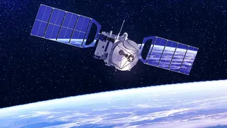
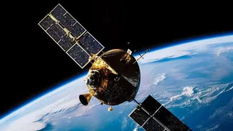
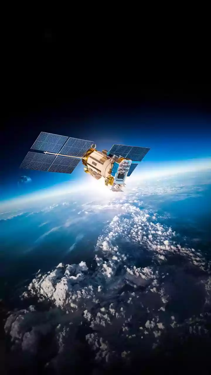
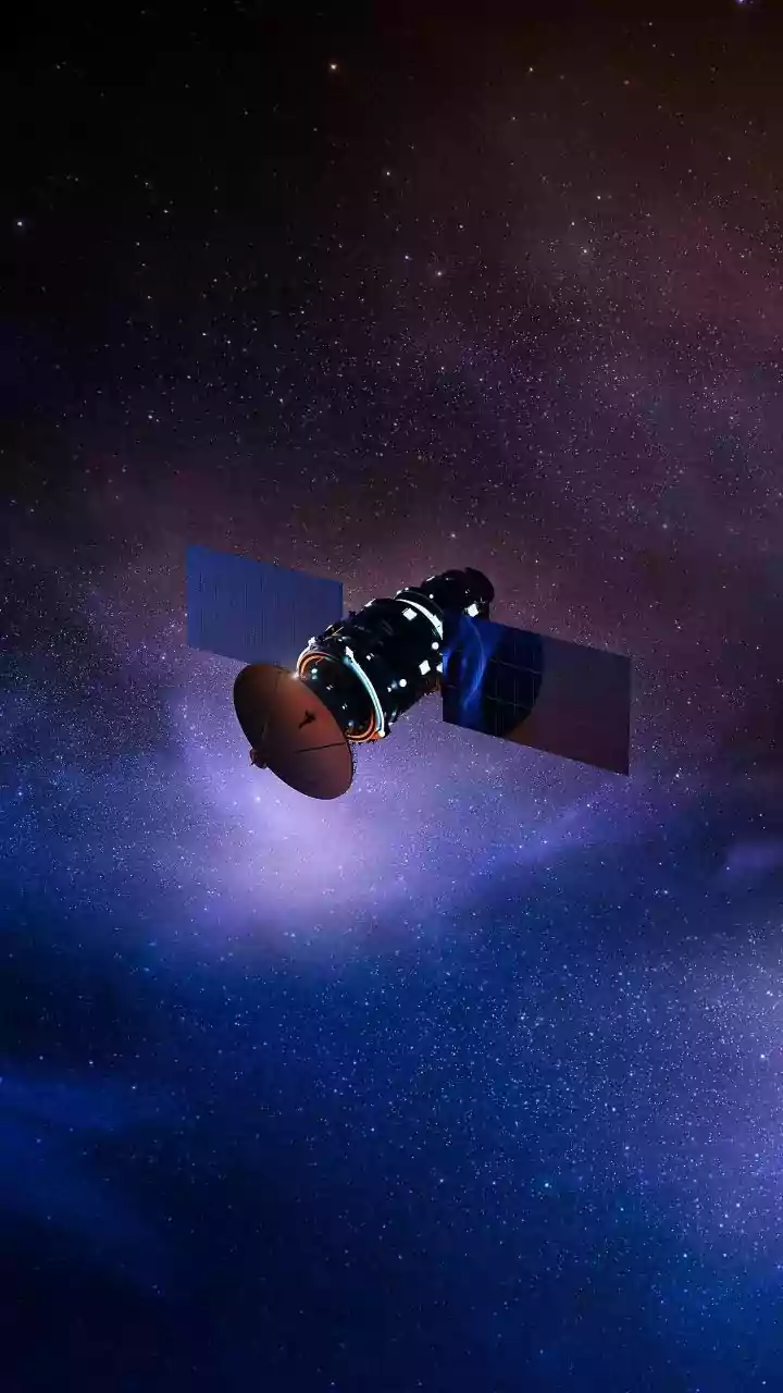
The FireSat constellation, a project involving the nonprofit Earth Fire Alliance, Google, and satellite company Muon Space, is engineered to solve this very problem. The satellites are not just equipped with advanced, high-resolution infrared sensors to detect heat; they are powered by an artificial intelligence system that provides crucial analytical depth. The AI doesn't just see a hotspot; it analyzes its behaviour over time. It compares a new image with thousands of previous images of the same location, considering factors like weather patterns and the heat source's temperature profile. A growing, spreading heat signature with the thermal characteristics of burning vegetation is flagged as a potential wildfire. A static, unchanging heat source, like an industrial flare or a campfire, is correctly identified and ignored. This ability to differentiate is the core of FireSat's innovation.
From Hours to Minutes
The primary advantage of this new system is the dramatic reduction in time between ignition and confirmed detection. The goal of the full FireSat constellation, expected to consist of over 50 satellites, is to scan every point on Earth roughly every 20 minutes. This frequent revisit rate, combined with the AI's analytical power, means dangerous fires can be spotted while they are still incredibly small—as little as 5x5 meters, or the size of a large garden shed. Current systems can take hours to confirm a fire, by which time it may have grown into an uncontrollable inferno. FireSat aims to provide alerts to emergency responders within minutes, giving them a critical head start to contain the blaze before it spreads. A prototype satellite has already successfully detected small fires that existing systems were not sensitive enough to identify.
A Game-Changer for Firefighting
For fire agencies, this technology represents a monumental leap forward. Instead of reacting to 911 calls from the public, they can receive confirmed intelligence directly from orbit, sometimes detecting fires before anyone on the ground is even aware of them. This allows for a more proactive and strategic allocation of resources. Knowing the difference between a low-intensity, smouldering fire and a fast-moving, high-heat blaze helps commanders make better decisions about evacuations and firefighter safety. The data provided is not just a simple alert, but a continuously updated picture of the fire's perimeter, intensity, and direction of spread, creating a common operating picture for all responding units. This level of situational awareness can be the difference between a small, managed incident and a large-scale disaster.
Implications for India and the World
As climate change contributes to more frequent and intense wildfire seasons globally, from California to Australia, this technology is arriving at a critical moment. In India, where vast forest areas in states like Uttarakhand, Himachal Pradesh, and Odisha are vulnerable to seasonal fires, the potential is enormous. A system like FireSat could provide Indian authorities, including the Forest Survey of India, with an unprecedented early warning capability. By detecting ignitions in remote, hard-to-reach mountain terrain with unprecedented speed and accuracy, the technology could help prevent small forest fires from escalating into major environmental and humanitarian crises. The first operational FireSat satellites were scheduled to launch in mid-2026, marking the beginning of a new era in the global fight against wildfires.