





A New Generation of Eyes in the Sky
For years, fire agencies have relied on a patchwork of technologies for wildfire detection: public 911 calls, watchtowers, aircraft patrols, and existing satellites designed for weather or other Earth observation tasks. These methods are essential but
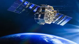
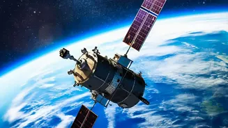
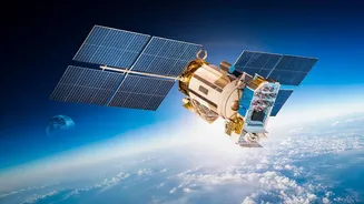
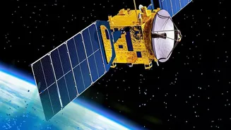
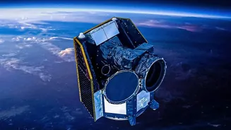
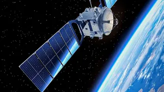
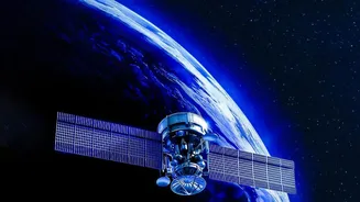
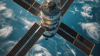
have significant limitations. Satellites in geostationary orbit can watch one area continuously but have low resolution, while higher-resolution satellites in low-Earth orbit might only pass over a location a few times a day, leaving dangerous gaps in coverage. This means a fire could ignite and grow substantially before it's ever seen. FireSat, a project led by the nonprofit Earth Fire Alliance in partnership with companies like Muon Space and Google, is built to solve this specific problem. It is the first satellite system designed from the ground up with a single purpose: to detect and monitor wildfires.
Seeing Heat, Not Just Smoke
The key to FireSat’s advantage lies in its advanced sensors and the speed of its network. The satellites are equipped with high-resolution multispectral infrared imagers that can detect the heat signature of a fire, not just the visible smoke. This allows the system to spot fires as small as 5x5 meters—roughly the size of a large garden shed—day or night, and even through some smoke cover. A prototype satellite launched in March 2025 has already proven the concept, detecting small, cool fires that were missed by existing systems. With the first three operational satellites launched in the summer of 2026, the network is beginning to take shape. The ultimate goal is a constellation of over 50 satellites that can scan the entire globe with a revisit time of 20 minutes or less, a massive leap from the hours-long delays of current systems.
From Data to Actionable Intelligence
Detecting a hotspot is only half the battle. The real innovation is turning that detection into useful information that reaches first responders in time to act. FireSat combines its infrared imagery with artificial intelligence to analyze the data in near real-time. The AI compares new images with thousands of previous ones, accounting for weather and other factors to confirm a fire is present and reduce false alarms from things like hot rooftops or solar panels. This validated data provides a common operating picture for incident commanders, showing not just a fire's location but also its perimeter, direction of spread, and intensity, measured by its Fire Radiative Power. This level of situational awareness is critical for deploying resources safely and effectively, planning evacuations, and protecting firefighter lives.
The Impact on the Ground
For firefighters on the front lines, faster and more accurate information can be the difference between a small, manageable incident and an uncontrollable megafire. The ability to catch a fire in its initial stages, when it's still just a few meters wide, is the holy grail of wildfire management. Early detection allows for a rapid attack with ground crews or air support, drastically increasing the chances of containment. By providing continuous updates on how a fire is behaving, FireSat helps commanders make smarter tactical decisions, moving crews away from danger and positioning them where they can be most effective. This technology won't replace the brave work of firefighters, but it serves as a powerful force multiplier, giving them the intelligence needed to work more safely and strategically in increasingly dangerous conditions.