



What Happened in Nepal?
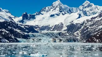
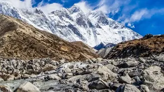
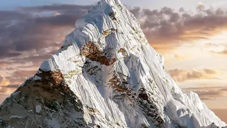
On August 26, 2026, a massive section of a glacier in Nepal's Langtang National Park, near the border with Tibet, catastrophically failed. An immense volume of rock and ice collapsed, generating a seismic event equivalent to a magnitude 5.2 earthquake.
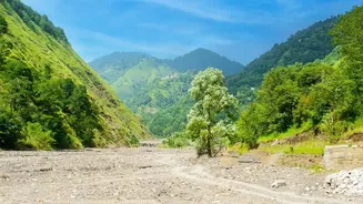
This wasn't a typical flood; it was a high-velocity torrent of mud, water, and debris that surged down the Lhende Khola, Bhote Koshi, and Trishuli river valleys at speeds approaching 150 km/h. The wall of water, rising up to nine metres in just half an hour in some areas, obliterated homes, bridges, roads, and crucial hydropower plants, leaving a trail of destruction for nearly 100 kilometres downstream.
The Science of a Ticking Time Bomb
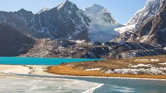
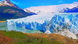
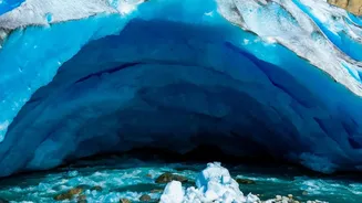
This disaster highlights the increasing prevalence of complex, cascading hazards. While initial reports considered a Glacial Lake Outburst Flood (GLOF), analysis suggests this event was an ice-rock avalanche. However, the two are dangerously linked. As global warming heats the Himalayas at twice the global average, glaciers are retreating at an accelerated pace. This retreat does two things: it can leave behind unstable mountain slopes previously supported by ice, and it creates or expands glacial lakes dammed by unstable walls of rock and debris known as moraines. A GLOF occurs when these natural dams fail. An avalanche, like the one in Nepal, can also trigger a GLOF by crashing into a lake, or block a river to form a new, temporary lake that can burst later.
A Regional Risk, Not a Local Disaster
The events in Nepal are a stark warning for the entire Himalayan region, including India. Many of the rivers that are lifelines for northern India, such as those in the Ganges and Brahmaputra basins, originate in these same mountains. A major outburst event in Nepal could have devastating downstream consequences for states like Bihar and Uttar Pradesh. Scientists have already identified hundreds of potentially dangerous glacial lakes across the Himalayas in India, Nepal, China, and Bhutan. In India alone, ISRO has mapped over 7,500 glacial lakes, with the National Disaster Management Authority flagging nearly 200 as vulnerable. The threat isn't just from lakes; researchers have also identified hundreds of potentially unstable 'hanging' glaciers in the Indian Himalayas that could fail similarly to the one in Nepal.
Why Infrastructure Is So Vulnerable
The disaster exposed the extreme vulnerability of critical infrastructure built in these fragile mountain valleys. Nepal lost a significant portion of its current and under-construction hydropower capacity, as power stations are, by necessity, built on rivers. This has severe implications for the region, where countries like Nepal, Bhutan, and India are increasingly relying on hydropower as a source of clean energy. The flood destroyed projects that were designed based on historical flood data, which is rapidly becoming obsolete as climate change creates new and more extreme weather patterns. Roads, bridges, and communication networks were also severed, hampering rescue efforts and isolating communities.
The Race for Early Warnings
While predicting a specific glacier collapse is nearly impossible, mitigating the risk is not. The key lies in better monitoring, data sharing, and the creation of robust early warning systems. However, significant gaps remain. Monitoring stations are sparse in these high-altitude, remote regions. Crucially, since many river systems cross international borders, effective warnings depend on seamless data sharing between countries like China, Nepal, and India—a process that needs strengthening. After the Nepal disaster, India's government initiated a review of its GLOF risk and mitigation strategies, but the challenge is immense: ensuring an alert can travel from a satellite to the last, most remote village before a flood arrives.