






The Himalayan Catalyst
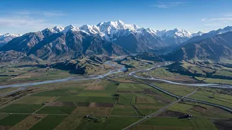
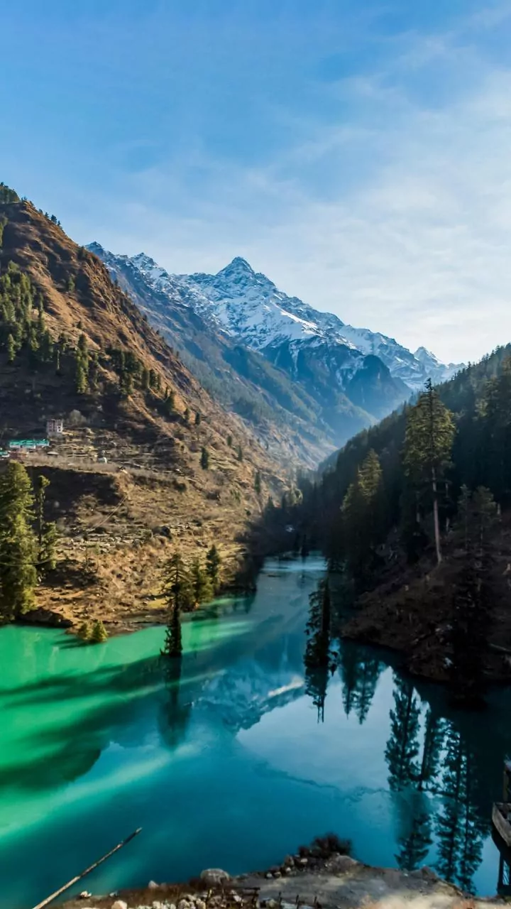
The root of the problem lies in the Himalayas, the world's youngest and most geologically active mountain range. Nepal sits squarely in this dramatic landscape, characterized by steep, unstable slopes. When heavy monsoon rains lash these mountains, the terrain
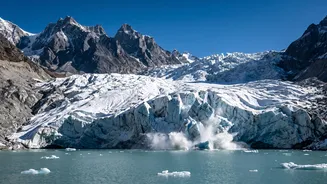
cannot simply absorb the water. Instead, it acts as a giant funnel, channeling colossal amounts of runoff into rivers with incredible force. Rivers like the Kosi, Gandak, and Bagmati begin their journey here as powerful torrents, their steep descent giving them immense energy to scour the landscape. Climate change is amplifying this risk, with glaciers retreating at an accelerated pace, leaving behind unstable lakes and exposing rock faces to erosion. This combination of steep gradients and fragile geology creates a perfect recipe for disaster.
More Than Just Water
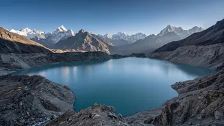
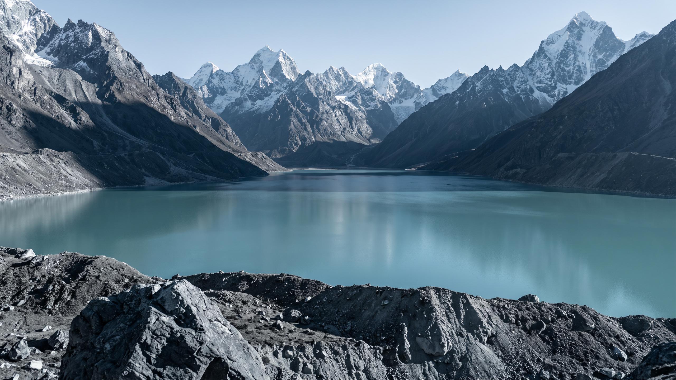
As these rivers carve through the mountains, they pick up an enormous amount of solid material. This isn't just fine silt; it includes sand, gravel, and even large boulders. Landslides, common in this unstable region, dump millions of tonnes of debris directly into the river channels. Another growing threat is Glacial Lake Outburst Floods (GLOFs), where lakes formed by melting glaciers burst their natural dams, releasing a sudden, violent slurry of water, ice, and rock. The Kosi river system alone contributes nearly a quarter of the entire Ganga basin's sediment load, despite making up only 9% of its area. This transforms the river from a simple body of water into a thick, abrasive, and far more destructive debris flow.
From Mountain Torrent to Plains Disaster
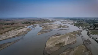
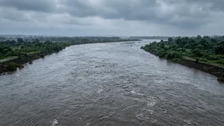
The geography of the India-Nepal border marks a dramatic transition. As the rivers rush out of the Himalayan foothills, they hit the flat, low-lying plains of India's Terai region and states like Bihar and Uttar Pradesh. Here, the rivers suddenly lose their velocity. Unable to carry their heavy load any further, they begin to deposit massive quantities of sediment. This process, known as aggradation, relentlessly raises the riverbeds. Year after year, the channels become shallower, less capable of holding water within their banks. The Kosi, for instance, has deposited so much sediment over time that it has created a massive alluvial fan spanning 15,000 square kilometres.
Why Debris Is the Real Destroyer
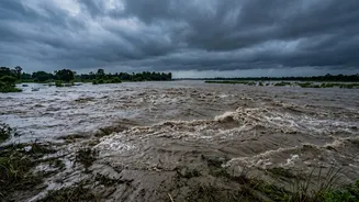
A riverbed clogged with silt is the primary cause of catastrophic flooding downstream. With their carrying capacity drastically reduced, even moderate rainfall can cause rivers to spill over their banks and inundate vast areas of land. This is why the Kosi is notoriously called the 'Sorrow of Bihar'. The sediment load also makes rivers unstable, causing them to frequently change course in violent events known as avulsions. In 2008, the Kosi breached its embankment in Nepal and shifted its course by over 100 kilometres, causing widespread devastation in Bihar that affected millions of people. Furthermore, the deposited silt and sand can smother fertile agricultural land, rendering it useless for years and destroying livelihoods long after the floodwaters have receded.
A Shared Challenge Requiring Joint Solutions
The transboundary nature of these Himalayan rivers means that managing this risk is a shared responsibility between Nepal and India. While mechanisms for sharing flood forecasting data are in place, the sheer scale of the sediment problem requires a more integrated approach. Experts argue that focusing solely on building embankments in India has proven insufficient, as these structures often lead to even more silt deposition within the channel, raising the riverbed further and increasing the risk of a breach. Effective solutions will require deeper collaboration on upstream watershed management, sustainable infrastructure development, and robust early warning systems for both water flow and debris surges. Addressing the challenge at its source in the fragile mountains of Nepal is critical to safeguarding the lives and livelihoods of millions in India.