



The Mountain's Own Weather System
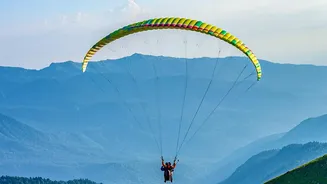
Unlike the predictable weather of flatlands, mountains create their own microclimates. The terrain itself—the steep slopes, deep valleys, and sharp ridges—interacts with sun, wind, and moisture to produce highly localized and rapidly changing conditions.
Air is forced upwards, cools, and can form clouds or generate wind patterns that exist only in that specific valley. The general meteorological forecast, or 'meteo' wind, is only one part of the story; pilots must also contend with a complex mix of valley winds, thermals, and other phenomena that can be far more powerful and unpredictable.
Understanding Valley Winds
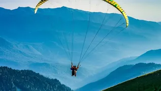
One of the most significant factors in mountain flying is the valley wind. During the day, the sun heats the mountain slopes, which in turn warms the air near them. This warmer, less dense air begins to rise up the slopes (anabatic winds). To replace this rising air, cooler, denser air from the plains is pulled up into the valleys, creating an 'up-valley' flow. This wind can be gentle in the morning but often strengthens significantly in the afternoon, sometimes creating strong, gusty conditions, especially where a valley narrows (a Venturi effect). At night, the process reverses, with cool air flowing down the slopes (katabatic winds) and out of the valleys. For a paraglider, misjudging the strength or timing of these winds can make takeoffs and landings treacherous.
Riding the Thermal Elevator
Thermals are the engine of soaring flight. These are rising columns of warm air that pilots use to gain altitude, just like eagles. They form when the sun heats the ground, creating bubbles of warm air that eventually break away and rise. While essential for long flights, thermals can also be zones of significant turbulence, especially on strong, sunny days. Entering or exiting a powerful thermal can feel like hitting a bump in the road, requiring active piloting to keep the wing stable. Furthermore, strong thermals can lead to 'cloud suck', a dangerous situation where the rising air is so powerful it can pull a pilot up into a cloud, leading to disorientation and dangerously cold temperatures.
Beware the Notorious Foehn Wind
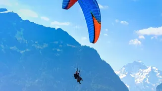
Perhaps the most infamous wind in the Alps is the Foehn (or Föhn). This is a warm, dry, and often violent wind that occurs when a weather system forces air over a mountain range. As the air descends on the leeward (downwind) side, it compresses and heats up, creating extremely turbulent and powerful downdrafts. Flying in Foehn conditions is considered a no-go for paragliders. It can create 'rotor' turbulence—like a horizontal washing machine—that can easily collapse a paraglider wing. A classic sign of Foehn can be a wall of clouds on the windward side of the mountains and unusually clear, warm air on the lee side. Recognizing the forecast for Foehn is a critical safety skill.
Preparation and Reading the Signs
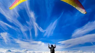
Safe mountain flying is all about preparation and respect for the conditions. Before any flight, pilots should consult detailed mountain-specific weather forecasts and speak with local pilots or schools who understand the site's unique characteristics. It is crucial to have multiple landing options in mind and to always maintain a significant safety margin from the terrain. In the air, a pilot must constantly observe the environment. Are clouds building rapidly? Are there lens-shaped 'lenticular' clouds forming over peaks, indicating strong high-altitude winds? Is the wind on the ground different from what was expected? Answering these questions allows a pilot to make informed decisions and land safely before conditions deteriorate.