





What is NavIC?
NavIC, which stands for Navigation with Indian Constellation, is India’s homegrown answer to the American GPS. Developed by the Indian Space Research Organisation (ISRO), it's a regional satellite navigation system designed to provide accurate real-time
positioning and timing services. Its coverage extends over India and a region stretching 1,500 kilometers beyond its borders. The system offers two tiers of service: a Standard Positioning Service (SPS) for all civilian users and an encrypted Restricted Service (RS) for strategic use by the military and other authorized agencies. The drive to create an independent system was underscored during the 1999 Kargil War, when dependence on the foreign-operated GPS highlighted a major strategic vulnerability.
The Problem with Three Satellites
A satellite navigation system's accuracy hinges on simple geometry and incredibly precise timing. To determine a three-dimensional position—latitude, longitude, and altitude—a receiver on the ground needs signals from a minimum of four satellites simultaneously. Three satellites can provide a rough location, but the fourth is essential for correcting timing errors in the receiver's own clock, a crucial step for pinpoint accuracy. With its constellation currently offering only three fully functional satellites for positioning services, NavIC’s standalone capability is compromised. While its timing service remains functional, it cannot currently provide the reliable, independent positioning it was designed for.
An Ageing and Ailing Constellation
The NavIC system was originally designed with a constellation of seven active satellites. However, the fleet has been plagued by issues. Several of the first-generation IRNSS satellites have suffered from premature failures of their onboard rubidium atomic clocks, which are the heart of any navigation satellite. These clocks are essential for the nanosecond-level precision required for positioning. Some satellites have also simply completed their 10-year design life. A recent attempt to launch a replacement, NVS-02, in January 2025, also failed to reach its intended orbit. This combination of clock failures, ageing hardware, and launch setbacks has reduced the number of fully operational navigation satellites to just three: IRNSS-1B, IRNSS-1I, and NVS-01.
Enter NVS-03: The Critical Reinforcement
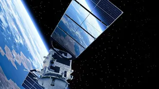
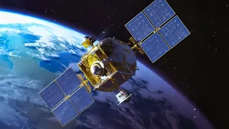
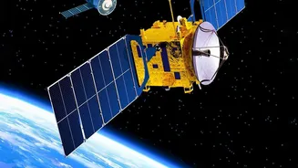
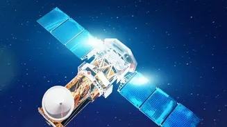
This is where NVS-03 comes in. It is the next satellite in ISRO's second generation of navigation satellites, known as the NVS series. These new satellites are designed to augment and eventually replace the original constellation. They boast significant upgrades, including a longer planned mission life of 12 years and, crucially, an indigenously developed rubidium atomic clock to avoid the reliability issues seen with earlier imported ones. Furthermore, the NVS series introduces a new L1 frequency band for civilian use, which will improve interoperability and make it easier for NavIC signals to be used by common consumer devices like smartphones.
Restoring India's GPS Independence
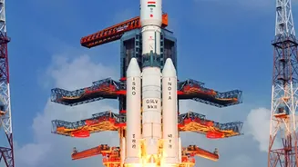
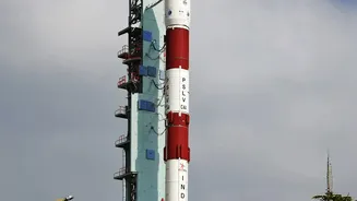
The launch of NVS-03, targeted for mid-October 2026, is a mission of national importance. Its primary job is to restore the NavIC constellation to the minimum of four operational satellites, thereby reactivating its standalone positioning service. This is vital not just for civilian applications but for India's strategic autonomy. For the armed forces, a sovereign navigation system is non-negotiable. It ensures that access to critical positioning data for missiles, aircraft, and troops cannot be denied or degraded by a foreign power during a conflict. A successful NVS-03 launch will be the first and most critical step in rebuilding the NavIC constellation, ensuring the system is robust, reliable, and ready to serve India's strategic and developmental goals for years to come.