




A Legacy of Looking Down
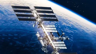
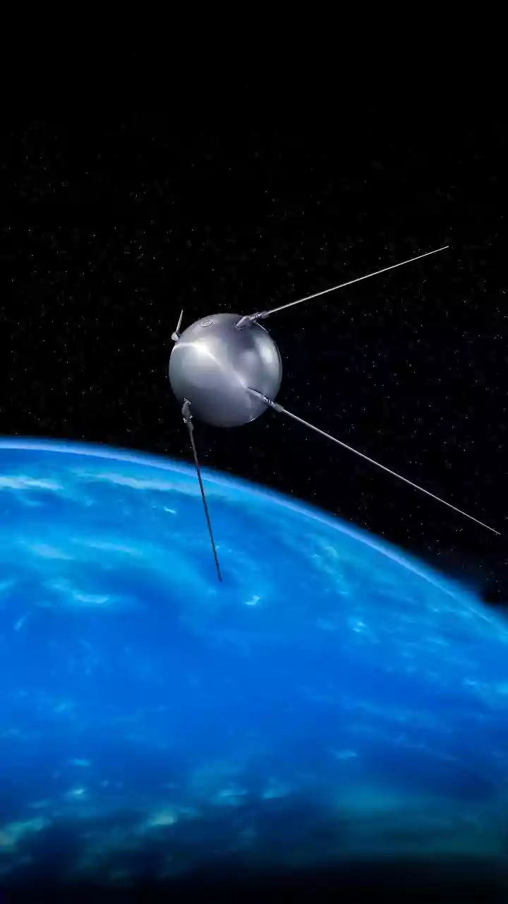
For decades, the Indian Space Research Organisation (ISRO) has built and operated one of the world's largest constellations of remote sensing satellites. This programme, which began with the first Indian Remote Sensing (IRS) satellite in 1988, provides
crucial data for everything from urban planning and mineral prospecting to managing water resources and forests. These satellites form the backbone of the National Natural Resources Management System, a framework designed to integrate space technology with national development goals. Think of it as a vast, digital map of India, constantly being updated with new layers of information that help government bodies make informed decisions. The goal has always been to use space technology for tangible benefits on the ground, and the EOS series represents the latest evolution of this mission.
The All-Weather, All-Day Advantage
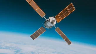
A significant recent boost to this capability comes from radar imaging satellites, most notably EOS-04, also known as RISAT-1A. Unlike traditional optical satellites that function like cameras and are hindered by clouds or darkness, radar imagers are game-changers. They use a Synthetic Aperture Radar (SAR) to actively send out signals and interpret the echoes. This allows them to “see” through dense cloud cover, a crucial advantage during India's monsoon season, and operate day or night. The data from EOS-04, which provides high-quality images regardless of weather conditions, is a massive leap forward for applications that require uninterrupted monitoring, such as flood mapping and agricultural assessment.
Impact on Land and Livelihoods
The practical applications of these new capabilities are vast. For agriculture, satellites like EOS-04 are transforming crop management. They can provide timely and accurate estimates of rice cultivation area, a vital task for ensuring food security. The ability to monitor soil moisture also helps in drought assessment and management. In disaster management, the impact is even more direct. During floods, radar satellites can map the extent of inundation in near real-time, even when the area is covered by clouds, providing critical information to disaster response teams on the ground. This data also helps in monitoring forest fires, mapping landslide-prone areas, and assessing damage after earthquakes.
Watching Over the Waters
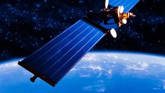
India's long coastline and surrounding oceans are also receiving enhanced attention, thanks to satellites like EOS-06, or Oceansat-3. This satellite is dedicated to oceanography and provides a wealth of data on marine ecosystems and weather patterns. Its Ocean Colour Monitor tracks the health and concentration of phytoplankton, the base of the marine food chain, which helps in identifying potential fishing zones for fishermen. EOS-06 also measures sea surface temperature, a key factor in predicting the formation and intensity of cyclones. Another instrument, a scatterometer, provides high-resolution data on ocean surface wind speed and direction, which is critical for weather forecasting and maritime security.
The View from 36,000 Kilometres
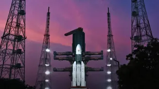
The latest and most ambitious addition is EOS-05, India’s first imaging satellite designed for a geosynchronous orbit. Launched in September 2026, it is positioned far higher than its predecessors at about 36,000 kilometres. While most Earth-imaging satellites are in Low Earth Orbit and pass over a location for only a few minutes at a time, a satellite in geosynchronous orbit remains stationary relative to the Earth's surface. This allows EOS-05 to provide near-continuous surveillance over a large, specific region. This persistent watch is invaluable for monitoring the rapid development of severe weather events, tracking forest fires as they spread, and fulfilling strategic surveillance needs.