




An Eye in the Sky Built for One Job
For years, we've relied on weather satellites to spot wildfires. Instruments like MODIS and VIIRS, aboard NASA satellites, have been crucial, but they were never designed specifically for fire detection. They scan huge areas and can take hours, or even
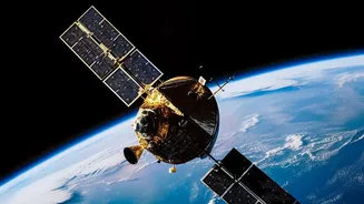
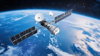
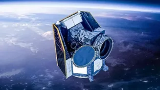
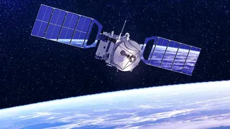
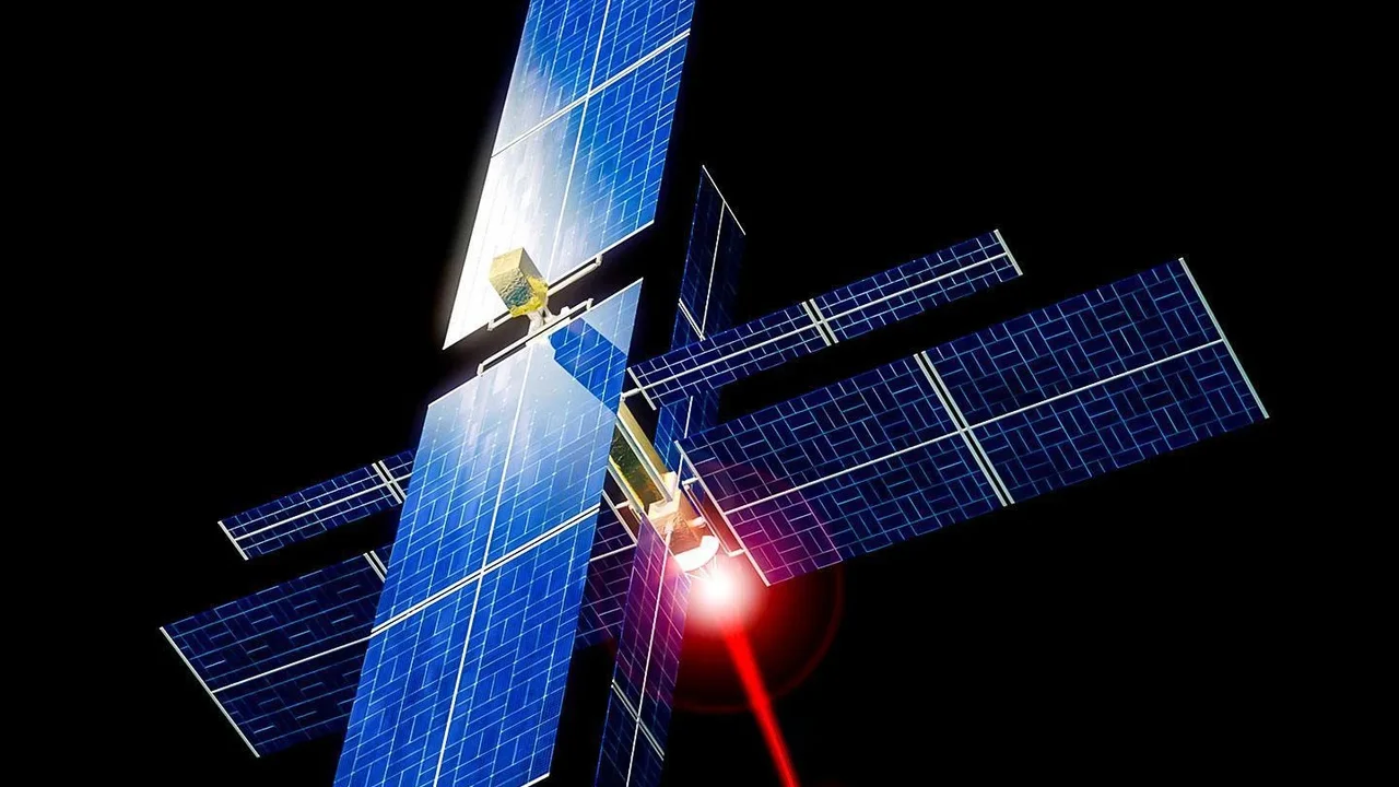
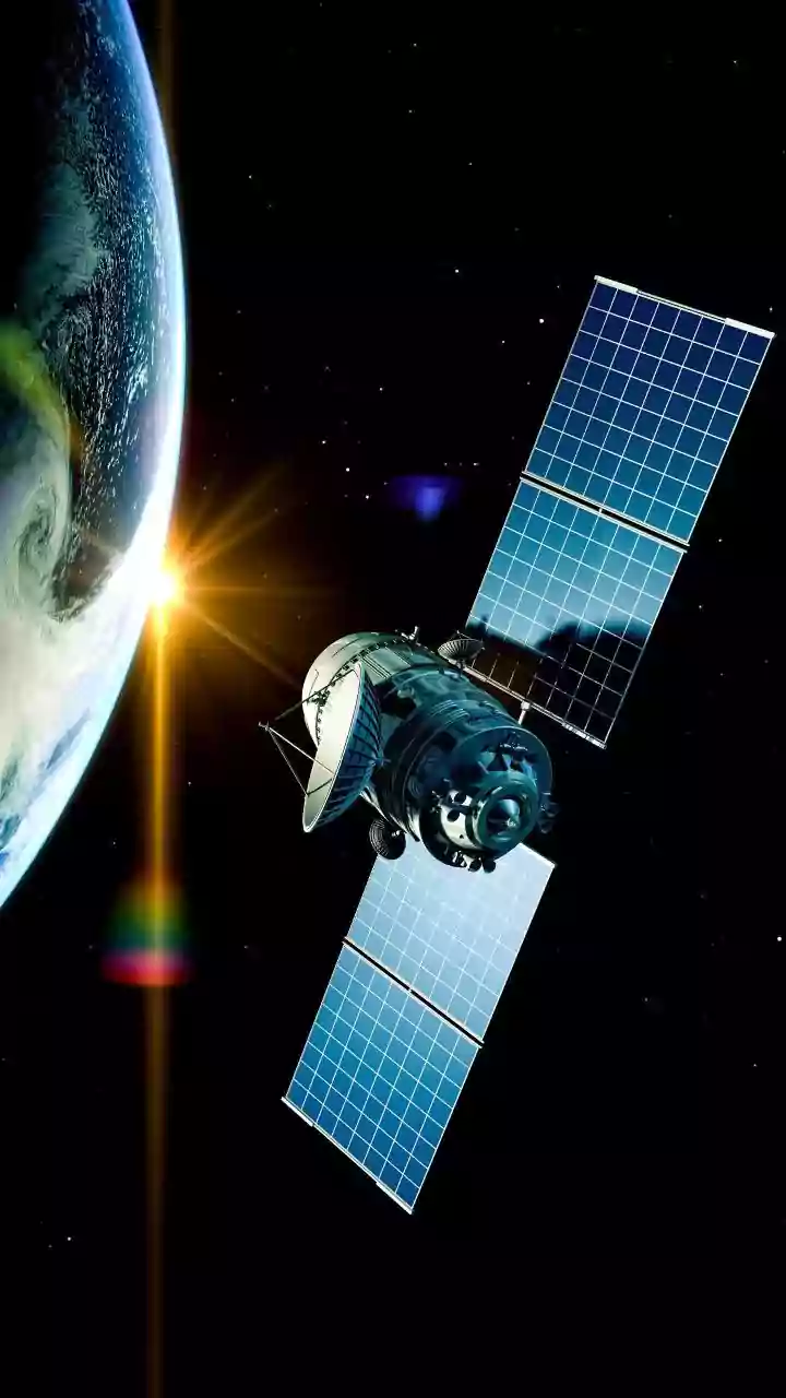
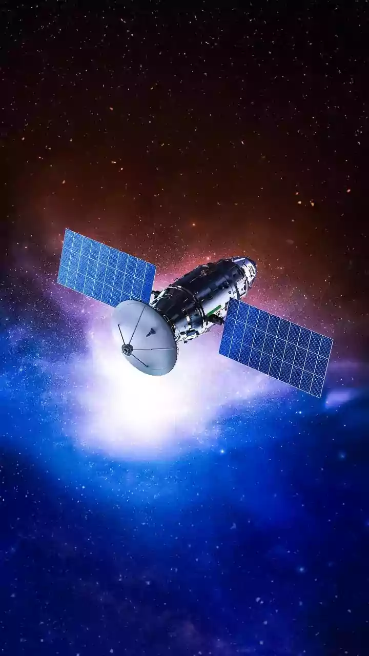
half a day, to revisit the same spot. By the time they detect the heat from a new fire, it may already be dangerously large. FireSat is different. It's a dedicated constellation designed by the nonprofit Earth Fire Alliance, with key partners like Google and satellite company Muon Space, for one primary mission: to detect and monitor wildfires. The first three operational satellites launched in the summer of 2026, building on a successful prototype mission from 2025. The ultimate goal is a constellation of over 50 satellites that can find fires almost as soon as they start.
What Makes This System 'Smarter'?
The intelligence of the FireSat system comes from a combination of cutting-edge hardware and sophisticated software. Firstly, the satellites are equipped with advanced multispectral infrared sensors. Unlike older systems that mainly detect large heat sources, these can spot fires as small as 5x5 meters—about the size of a small room. This is a huge leap from existing satellites that often can't reliably detect fires smaller than a soccer field. Secondly, FireSat uses artificial intelligence directly on the satellites. Instead of just sending raw images back to Earth for analysis, the onboard AI compares a new image with thousands of previous ones of the same location. It considers factors like weather to distinguish a genuine fire from other heat sources, dramatically reducing false alarms. This onboard processing means alerts can be sent to firefighters much faster. There are other players in this space, like OroraTech's FOREST satellites, which also use advanced thermal sensors and onboard AI to provide rapid alerts.
From Hours to Minutes
The real-world impact of this smarter approach is speed. Current satellite systems can have a lag of several hours between detection and alert. FireSat aims to shrink that timeline dramatically. When the full constellation is operational, it will be able to scan nearly the entire planet, providing updates every 20 minutes or less. This near-real-time data flow is a game-changer for first responders. An early warning can be the difference between a small, manageable blaze and a catastrophic megafire. Getting precise location data on a small, new fire allows firefighting agencies to dispatch resources strategically and contain the threat before it spreads. This speed and precision provides critical situational awareness, helping to protect not just property and ecosystems, but also the lives of firefighters on the ground.
A Global Tool for a Global Challenge
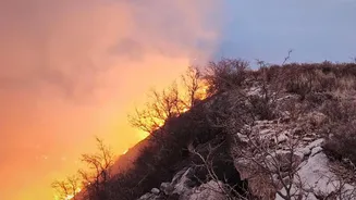
Wildfires are not confined to one country or continent; they are a global crisis intensified by climate change. A system like FireSat is designed to be a worldwide resource. The data will be invaluable for fire-prone regions everywhere, from California to Australia, and could be highly relevant for India. States like Uttarakhand, Himachal Pradesh, and Odisha regularly face devastating forest fires, where difficult terrain can hamper on-the-ground detection. A space-based system that can pinpoint new fires in remote, mountainous areas could provide Indian disaster management agencies with a crucial head start. The data collected by the FireSat constellation will also be made available to scientists. This will create an unprecedented historical record of fire behaviour, helping researchers understand how fires start and spread, improve prediction models, and develop long-term strategies for managing fire risk in a warming world.