







The Challenge of a Fading Footprint
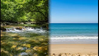
Wetlands—from the high-altitude lakes of the Himalayas to the coastal mangroves of the Sundarbans—are among India's most productive and most threatened ecosystems. They act as critical buffers against floods, recharge our groundwater, sequester enormous
amounts of carbon, and provide livelihoods for millions. Yet, they are vanishing due to urban encroachment, pollution, and agricultural expansion. For decades, monitoring these dynamic environments has been a colossal task. Traditional methods involve on-the-ground surveys and water sample testing, which are time-consuming, expensive, and often provide an incomplete picture. A wetland’s health can change rapidly, and a single annual survey might miss a destructive pollution event or the subtle, creeping spread of an invasive species.
The Satellite Revolution: A Constant Watch
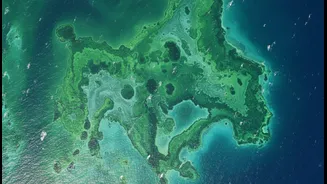
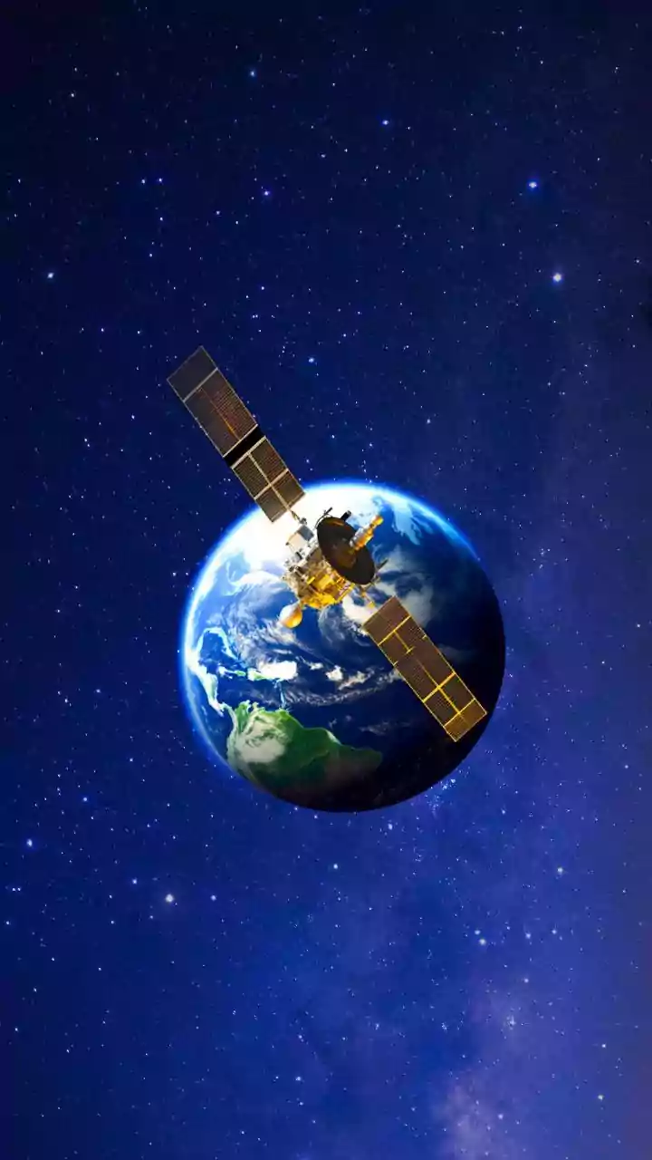
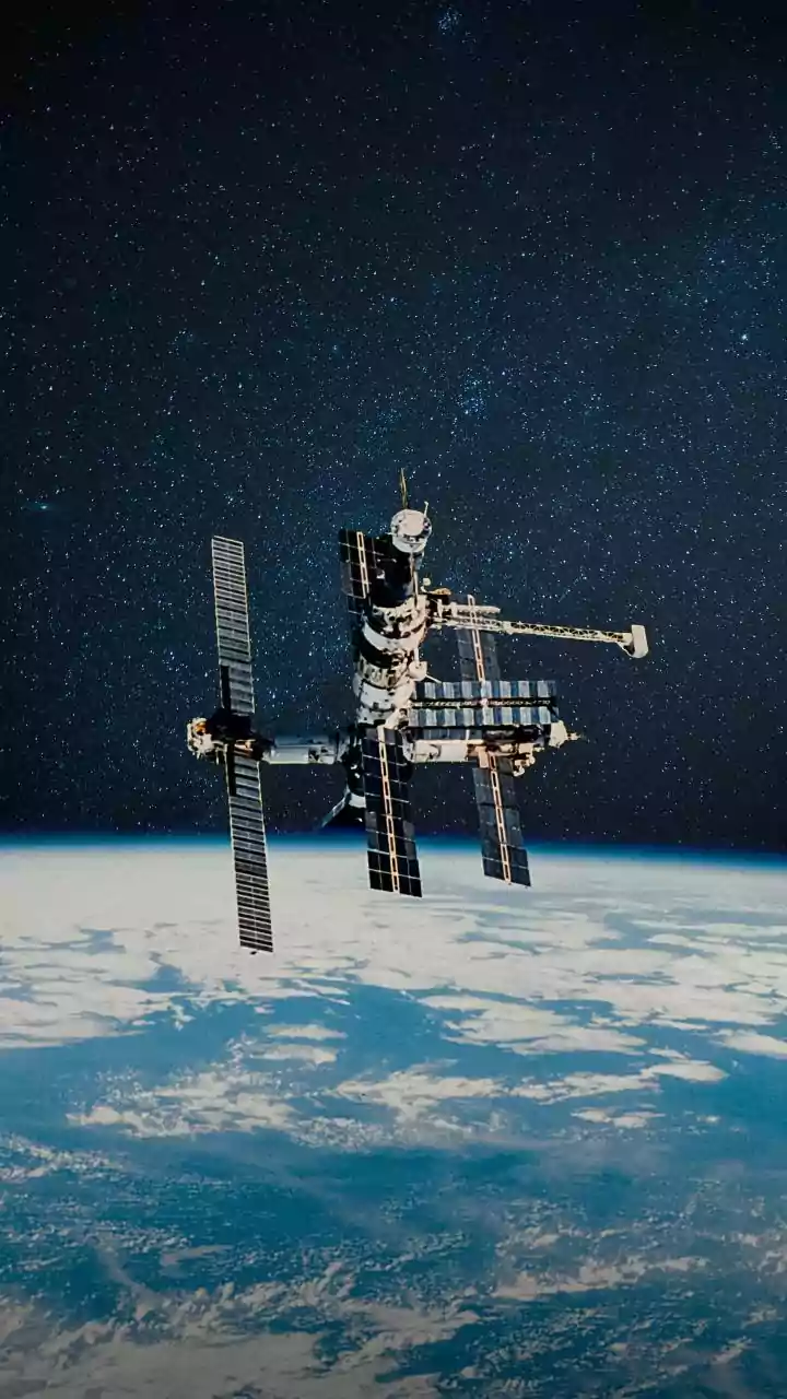
The game is changing thanks to a new era of Earth observation. While satellites have been used for decades, the key development is the 'revisit rate'—how often a satellite passes over the same spot. Older satellites might provide an image once every few weeks or months. But modern satellite constellations can now provide data on a near-daily basis. This high-frequency monitoring transforms our understanding. Instead of seeing a single snapshot in time, scientists and conservationists can now observe the 'pulse' of a wetland. They can track seasonal changes in water levels, monitor vegetation health, and detect sudden changes almost as they happen. This shift from periodic snapshots to a continuous stream of data is revolutionary for environmental management.
The All-Weather, All-Seeing Eye
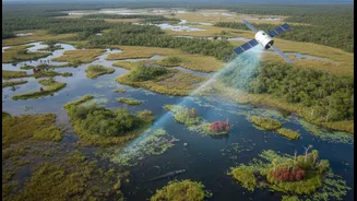
One of the most powerful tools in this new arsenal is Synthetic Aperture Radar (SAR). Unlike traditional optical satellites that function like a camera and are useless on cloudy days or at night, SAR is an active system. It sends its own microwave pulses down to Earth and measures the echo that bounces back. This technology can see through clouds, smoke, and darkness, which is essential for monitoring wetlands, especially during the monsoon season when they are most active and often obscured. SAR is particularly adept at detecting water. It can even 'see' water underneath a dense forest canopy or vegetation, revealing the true extent of flooding—something impossible with optical imagery alone. This allows for an accurate mapping of waterlogged areas, which is the defining characteristic of a wetland.
From Data to Action in India
This technology is not just an academic exercise; it has powerful real-world applications for India. The upcoming NASA-ISRO Synthetic Aperture Radar (NISAR) mission, a collaboration between the two space agencies, will be a game-changer. Set to scan nearly all of Earth’s land and ice surfaces every 12 days, NISAR will provide incredibly detailed and consistent data on India's ecosystems. This will help scientists monitor the health of the country’s hundreds of wetlands with unprecedented accuracy. For instance, researchers at IIT-Indore have already developed an application that uses free satellite data to monitor water quality, tracking parameters like chlorophyll content and turbidity to spot pollution. With the enhanced capabilities of missions like NISAR, authorities can get early warnings about algal blooms, illegal dumping, or encroachment, allowing for swift intervention before irreversible damage is done.
The Future of Conservation
Combining high-revisit satellite data with artificial intelligence is the next frontier. Algorithms can be trained to automatically sift through terabytes of daily imagery to detect anomalies and flag areas of concern for human experts to investigate. This automated monitoring can cover vast, remote areas that are impossible to patrol on foot. However, technology is only a tool. The data provided by satellites must be translated into effective on-the-ground policy and enforcement. It requires empowering local communities, NGOs, and government agencies with access to this information and the authority to act on it. While satellites can show us where a wetland is being polluted, it still takes human will and robust governance to stop it.