


The Problem with a Delayed View
For decades, the tools used to spot wildfires have been a patchwork of public reports, watchtowers, aircraft patrols, and general-purpose satellites. While these methods are essential, they have inherent limitations. Towers and cameras can have their
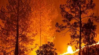
views obstructed by terrain or smoke, while aircraft are expensive and cannot be everywhere at once. Existing government satellites, though powerful, were not designed specifically for fire detection. They may only pass over a location a few times a day, and their sensors often can't identify a fire until it has grown to the size of a soccer field, by which point it may be significantly more difficult and dangerous to control. This delay, which can be minutes or hours, is a critical window where a small, manageable ignition can erupt into a devastating megafire.
What is FireSat?
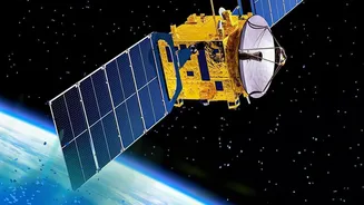
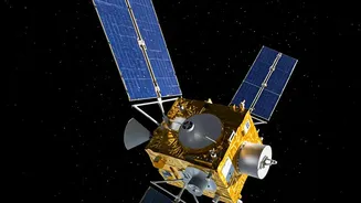
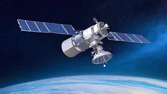
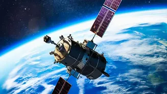
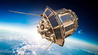
FireSat is a purpose-built satellite constellation created specifically to detect and monitor wildfires. It is the result of a unique collaboration between the nonprofit Earth Fire Alliance (EFA), space systems company Muon Space, and tech giant Google. Philanthropic organizations like the Bezos Earth Fund and the Gordon and Betty Moore Foundation have also provided significant funding. Unlike repurposed weather or imaging satellites, every component of FireSat, from its sensors to its orbit, is optimized for one job: finding fires faster. The project was designed with input from over 200 firefighters and scientists to ensure the data it provides is what first responders actually need on the ground.
How It Works: An Infrared Eye in the Sky
The system's power lies in its advanced sensors and the artificial intelligence that interprets the data. Each satellite is equipped with a high-resolution, six-channel multispectral infrared radiometer. This instrument can detect the unique heat signatures of fires, even small ones measuring just 5-by-5 meters, or about the size of a classroom. By operating across multiple infrared bands, the system can distinguish between active flames and other heat sources, like hot rocks or solar panels, which helps to keep the false positive rate below five percent. An AI system then analyzes the imagery, comparing it to thousands of previous images of the same spot and factoring in weather conditions to reliably determine if a new fire is present.
A Game-Changer for Response Times
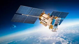
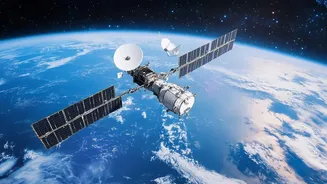
The ultimate goal is speed. The full FireSat constellation will consist of more than 50 satellites in low-Earth orbit. Once fully operational, this network will be able to scan nearly the entire globe every 20 minutes. This represents a monumental improvement over the hours-long delays common with existing satellite systems. For firefighters, this near real-time alert system means they can get to a fire while it is still small and requires fewer resources to contain. Beyond just detecting an ignition, the system will provide continuously updated maps of a fire's perimeter, direction of spread, and intensity, giving incident commanders critical intelligence to ensure the safety of crews and plan evacuations more effectively.
From Prototype to Orbit
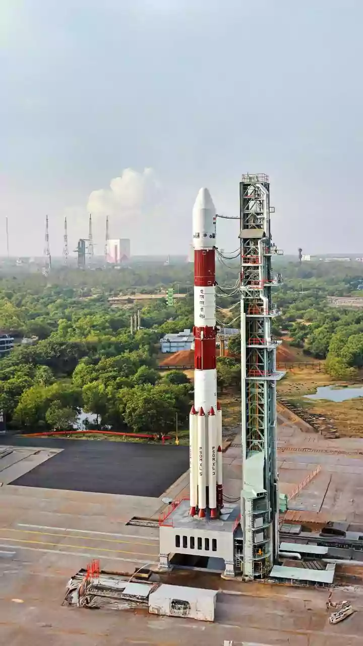
The FireSat concept has already moved beyond the drawing board. A prototype satellite, called Protoflight, was launched in March 2025 to test the technology. During its time in orbit, it successfully detected numerous fires across five continents, including a small fire in the U.S. that was not picked up by other satellite systems. Building on that success, the first three operational FireSat satellites were launched in July 2026, marking the beginning of the constellation's initial operational capability. The plan is to continue launching satellites in stages, expanding coverage and decreasing the time between observations, with a target of one-hour global revisit times by 2029.