
A New Coalition in Orbit
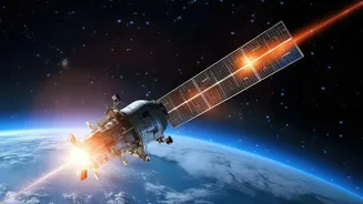
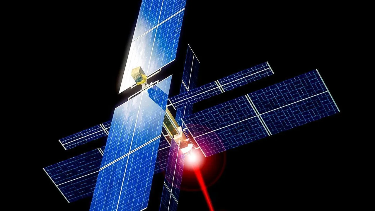
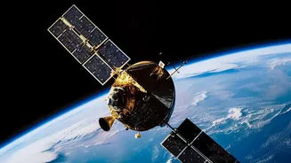
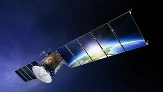
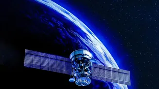
FireSat is not the product of a single company but a unique collaboration of non-profit, private, and public entities. The project is led by the Earth Fire Alliance, a global nonprofit coalition. The satellites themselves are designed and built by Muon
Space, a California-based spacecraft manufacturer. The technological muscle for data analysis comes from Google, which provides artificial intelligence expertise to process the vast amounts of imagery. The initiative has attracted significant funding and support, including from Google.org and the Bezos Earth Fund, along with partnerships with fire agencies like CAL FIRE. This July, the program achieved a major milestone, launching the first three operational FireSat satellites into orbit aboard a SpaceX rocket, transitioning the system from a successful prototype phase into a working service.
Seeing a Spark From Space
For years, firefighters have used satellite data, but existing systems were designed for other purposes, like weather monitoring. These satellites often have low resolution or only pass over a location a few times a day, making it hard to spot a fire until it's already grown to the size of a soccer field. FireSat changes the game. Its satellites are equipped with purpose-built, high-resolution multispectral infrared instruments. These sensors are sensitive enough to detect heat signatures from fires as small as 5x5 meters—roughly the size of a classroom or a beach bonfire—day or night, and can even see through smoke.
The Race Against Time
In firefighting, the first hour is critical. An early response can contain a small blaze, while a delay can allow it to erupt into an uncontrollable megafire. FireSat is built for speed. The key metric is the 'revisit rate'—how often a satellite can scan the same spot on Earth. While the current three operational satellites provide coverage at least twice a day, the plan is ambitious. As more satellites join the constellation, the revisit time will shrink dramatically. The goal is to have a network of around 20 satellites providing hourly updates by 2029, and a full constellation of over 50 satellites providing updates every 20 minutes by 2030. This near-real-time information gives fire managers a crucial head start, allowing them to dispatch resources before a fire has a chance to escalate.
Smarter Than the Average Satellite
Simply detecting a hot spot isn't enough; emergency responders need to trust the information. A high rate of false alarms would make any system useless. This is where artificial intelligence plays a vital role. The data captured by FireSat is analyzed using AI models developed with Google's help. The system compares a new heat signature with thousands of previous images of the same location, while also factoring in local weather conditions and other data to determine if a fire is real. This intelligent filtering is designed to keep the false positive rate below five percent, ensuring that when an alert goes out, it's reliable and actionable for crews on the ground.
From Proof to Global Practice
The FireSat program has moved rapidly from concept to reality. A single prototype satellite launched in March 2025 successfully demonstrated the technology's potential, even detecting small fires in the U.S. that were missed by existing systems. The launch of the first three operational satellites in July 2026 marked the beginning of its 'Initial Operational Capability'. Following a three-month commissioning and calibration period, these satellites will begin delivering data to fire agencies in the United States, Australia, and Europe before the end of 2026. This marks a pivotal shift from relying on repurposed technology to using a system designed from the ground up to tackle the global wildfire challenge.