







Anatomy of a Himalayan Tragedy
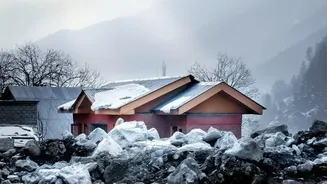
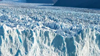
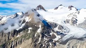
On August 26, 2026, a massive slab of a glacier high on the Nepal-Tibet border broke away. The ensuing collapse of rock and ice generated a flash flood so powerful it registered as a seismic event. Torrents of water and debris surged through downstream
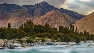
valleys, obliterating homes, bridges, and hydropower projects, and tragically claiming over a thousand lives with thousands more missing. The disaster, originating from a glacier collapse rather than the breach of a lake, underscores a complex and unpredictable threat that climate change is accelerating across the Himalayas. It serves as a grave warning for Indian states like Himachal Pradesh, Uttarakhand, and Sikkim, which face similar vulnerabilities.
The Ticking Time Bombs: GLOFs
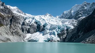
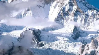
While the Nepal event was a glacier collapse, it highlights the broader and more closely watched threat of Glacial Lake Outburst Floods (GLOFs). As global temperatures rise—with the Himalayas warming at nearly twice the global average—glaciers are melting at an alarming rate. This meltwater pools behind natural dams of rock and debris left by retreating glaciers, forming thousands of new lakes. These dams are often unstable. A landslide, avalanche, or even just rapid melting can cause them to breach, releasing millions of cubic metres of water in a devastating flood wave. India's National Disaster Management Authority (NDMA) has identified 195 such vulnerable glacial lakes across the Indian Himalayas that require urgent monitoring.
Eyes on the Ice: The Promise of Sensors
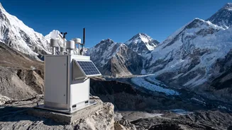
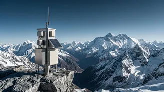
In response, authorities are turning to technology for answers. The strategy involves a multi-pronged approach using satellite imagery, drones, and ground-based sensors to create an early warning system (EWS). Satellites operated by agencies like ISRO provide the first line of defence, monitoring changes in lake area and the health of surrounding glaciers. For higher-risk lakes, the plan is to install solar-powered automated weather stations and sensors on site. These instruments can measure critical parameters in real-time: rising water levels, unusual temperature changes, and ground vibrations that might signal an unstable moraine dam. The goal is to detect a potential breach before it happens and transmit an automated alert to downstream communities.
The Last-Mile Challenge
Deploying this technology, however, is a monumental task. Many of these hazardous lakes are located above 17,000 feet in remote, inaccessible terrain with no network connectivity. Installing and maintaining sensitive electronic equipment in such harsh conditions is a major technical and logistical challenge. Furthermore, even a successful alert is useless if it doesn't reach the last person in a vulnerable village. This requires robust communication infrastructure—including sirens and mobile alerts—and extensive community preparedness, ensuring people know how to react when a warning is issued. Currently, only a handful of glacial lakes in India have automated warning systems, with authorities often relying on manual observation from army or police outposts.
A Race Against Time and Temperature
The Nepal disaster has reinforced the urgency of scaling up these efforts. Indian states are accelerating plans, with Himachal Pradesh and Uttarakhand working to install EWS at their most vulnerable lakes. The NDMA's National GLOF Risk Mitigation Project, launched in 2024, aims to fund and guide these efforts. However, experts stress that technology alone is not a silver bullet. It must be paired with responsible infrastructure planning that avoids building in high-risk floodplains and greater cross-border cooperation for data sharing, as Himalayan river basins connect multiple countries. Without these integrated strategies, the risk of another tragedy remains perilously high.