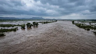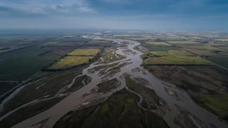







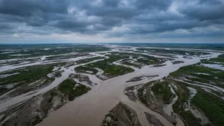


A Land Designed for Flooding
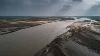
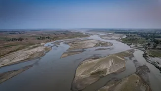
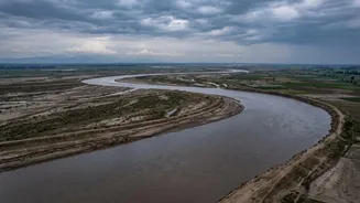
Bihar's geography is its original vulnerability. Much of North Bihar is a vast, flat alluvial plain with a very gentle slope. This region acts as a natural drainage basin for a network of powerful rivers flowing down from the Himalayan mountains in Nepal.
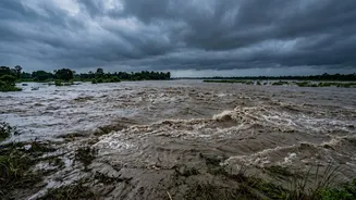
When these rivers, swollen with monsoon rain, leave the steep mountains and enter the flat plains, their velocity drops dramatically. This change in speed is the first step in a chain reaction that leads to widespread flooding, as the water spreads out across the low-lying land. About 73% of Bihar's total land area is considered vulnerable to floods, making it India's most flood-prone state.
The Himalayan River Connection
The source of Bihar's sorrow often lies across the border in Nepal. Major rivers like the Kosi, Gandak, Bagmati, and Burhi Gandak all originate in the geologically young and erosion-prone Himalayas. The vast majority of the catchment area for these rivers—the land that collects rainwater—is in Nepal. For instance, more than 85% of the Gandak river's catchment lies upstream in Nepal before it enters India. This means heavy monsoon rainfall in Nepal directly translates to a massive volume of water surging towards Bihar. A flash flood in a Nepali river can put districts in Bihar on high alert within hours, as the pulse of water travels swiftly downstream.
The Unseen Enemy: Silt
Water is not the only thing these rivers carry. As they rush down the Himalayas, they scrape away enormous quantities of rock, sand, and soil, known as silt. The Kosi river, famously called the 'Sorrow of Bihar', is one of the most sediment-heavy rivers in the world. When these rivers slow down in Bihar's plains, they can no longer carry this heavy load. The silt gets deposited on the riverbed, gradually raising its level year after year. This process, called aggradation, makes the river channel shallower, drastically reducing its water-carrying capacity. Eventually, the riverbed becomes higher than the surrounding floodplain, making it incredibly easy for water to spill over the banks even during normal monsoon flows.
Embankments: A Double-Edged Sword
For decades, the primary flood-control strategy has been to build thousands of kilometers of earthen embankments to confine the rivers. While intended to protect, this has created a new set of problems. By 'jacketing' the rivers, embankments prevent the silt from spreading naturally across the floodplain. Instead, the silt deposition is concentrated within the channel, accelerating the process of the riverbed rising. This creates a dangerous situation where the river flows at a level higher than the surrounding land. When a breach occurs—a frequent event—the water gushes out with immense force, causing catastrophic flash floods. Furthermore, these embankments obstruct rainwater from the surrounding land from draining into the river and also prevent floodwater from receding once the river level drops, leading to prolonged waterlogging for months.
The Cross-Border Complication
Managing rivers that flow across international borders is inherently complex. Agreements like the Kosi Agreement (1954) and Gandak Agreement (1959) were established to manage barrages and water flows, but they have been a source of diplomatic friction over the years. Barrages, like the one on the Kosi, are critical for managing water release. However, decisions to open barrage gates during high-flow episodes in Nepal to protect the structure can lead to sudden inundations in downstream Bihar. While bilateral committees exist to coordinate on flood forecasting and management, the lack of a comprehensive agreement on building large storage dams in Nepal—which could hold back monsoon water and regulate its flow—means Bihar remains at the mercy of the rivers' natural, and increasingly erratic, behaviour.