





State on High Alert
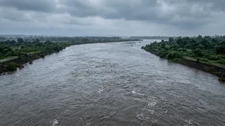
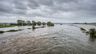
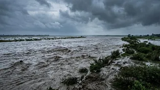
Bihar has been placed on high alert as a surge of water from devastating flash floods in Nepal makes its way into the state's river systems. The primary concern is the Gandak river, which has been swelling after a massive volume of water entered it upstream.
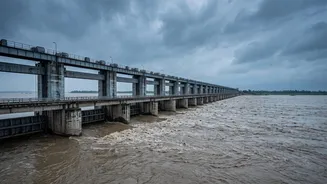
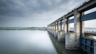
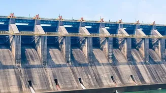
In response, officials at the Valmikinagar barrage in West Champaran district took the precautionary step of opening all 36 of its gates to manage the flow. At its peak on Wednesday night, the discharge from the barrage reached approximately 1.50 lakh cusecs, a significant volume that puts immense pressure on downstream embankments. While officials reported that the flow was beginning to recede by Thursday, subsequent rainfall in Nepal's catchment areas caused levels to rise again, necessitating continuous, round-the-clock monitoring. Eight to nine districts, including West Champaran, East Champaran, Gopalganj, Muzaffarpur, and Vaishali, are under special vigilance.
The Nepal Connection Explained
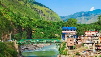
North Bihar's flood risk is intrinsically linked to geography and weather events in Nepal. Major rivers like the Kosi, Gandak, and Bagmati originate in the Himalayas in Nepal and flow down into Bihar's plains. Consequently, even if there is no heavy rainfall in Bihar itself, intense monsoon showers or, in this case, a flash flood in Nepal's mountains, can send a dangerous surge of water downstream. The recent event was triggered by a suspected glacial lake outburst flood (GLOF) in Tibet, which caused flash floods in Nepal's Bhotekoshi and Trishuli rivers. These rivers are tributaries that eventually feed into the Gandak (known as Narayani in Nepal), creating a direct channel for the floodwater to travel south into India. This trans-boundary nature of the river systems makes close coordination and data sharing between the two countries absolutely essential during the monsoon season.
What It Means to 'Watch Barrages'
The term 'watching barrages' refers to a critical and tense operation. Barrages are large, gated structures built across rivers to control water flow and divert it for irrigation. During floods, they become the primary tool for flood management. Engineers and technical teams are deployed 24/7 to monitor the water discharge rate, measured in cusecs (cubic feet per second). Their job is to make precise decisions about how many gates to open and by how much. Opening them too little risks the barrage being overwhelmed or breached, which would be catastrophic. Opening them too much, too quickly, can flood downstream villages. The process also involves constant inspection of the river embankments for any signs of erosion or weakness under the pressure of the surging water.
The Human Cost and Response
For communities living in the river basins, this is a yearly cycle of anxiety and displacement. In response to the latest alert, authorities have begun evacuating residents from low-lying areas. Reports indicate that around 5,000 families in vulnerable parts of West Champaran were moved to safer locations as a precautionary measure. National and State Disaster Response Force (NDRF and SDRF) teams have been deployed in the districts at risk, equipped with boats and other rescue equipment. Public announcements are being made in villages, urging people to be vigilant and ready to move if required. This annual disruption takes a heavy toll, impacting livelihoods, agriculture, and forcing thousands to live in temporary shelters until the water recedes.