





An Inescapable Geography
The fates of Nepal and eastern Uttar Pradesh are intertwined by a complex network of rivers that pay no mind to international borders. Major river systems, including the Ghaghara (known as Karnali in Nepal), Rapti, and Gandak (called Narayani in Nepal), originate
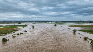
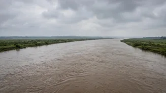
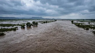
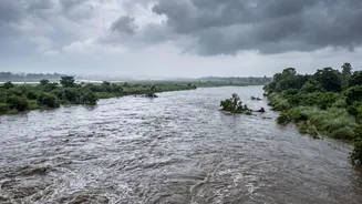
in the high Himalayas. During the monsoon season, heavy rainfall in Nepal's catchment areas causes these rivers to swell, sending massive volumes of water surging downstream into the densely populated plains of India. The recent catastrophic flash floods in Nepal, triggered by a suspected ice-rock avalanche near the Tibet border, have created an emergency, with devastating consequences upstream. This surge of water, debris, and silt is now flowing towards India, forcing authorities in Uttar Pradesh to prepare for the downstream impact.
UP Districts on High Alert
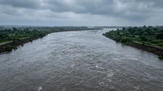
In response to the crisis in Nepal, the Uttar Pradesh government has placed several districts on high alert. Maharajganj and Kushinagar are under intense scrutiny, as they are the first to face the brunt of the swelling Gandak river. The state administration has initiated a round-the-clock vigil, with officials from the irrigation and disaster management departments deployed to sensitive areas. The focus is on continuously monitoring river levels, identifying vulnerable villages along embankments, and preparing for potential evacuations. The alert extends to other districts like Lakhimpur Kheri, Gonda, Bahraich, and Ballia, which are also part of the Ghaghara and Sarda river basins. The Central Water Commission is providing real-time data, noting that the Ghaghra river at Turtipar in Ballia has already crossed its warning level.
A Coordinated Response
The preparedness is not just about watching the water rise. Chief Minister Yogi Adityanath has directed local administrations to ensure all necessary measures are in place. Teams from the State Disaster Response Force (SDRF) and Provincial Armed Constabulary (PAC) have been deployed, not only for preparedness within UP but also to assist in rescue operations in Nepal. All 36 gates of the Valmikinagar barrage on the Gandak river, a critical control point, have been opened to manage the flow and reduce pressure on the structure. Loudspeakers are being used in riverside villages to warn residents, urging them to avoid low-lying areas and remain vigilant for official advisories. This proactive stance is crucial, as the speed of the floodwater gives authorities a very narrow window to act.
A History of Shared Challenges
This annual threat is a grim reminder of the region's vulnerability to climate-related disasters. The plains of eastern UP and Bihar have a long history of devastating floods caused by these very same transboundary rivers. This shared vulnerability has led to the establishment of several India-Nepal bilateral mechanisms for flood forecasting and water resource management. During the monsoon season, Nepal's Department of Hydrology and Meteorology shares hydrological data with Indian authorities, including the Central Water Commission. This cooperation is vital for issuing timely flood warnings. However, the increasing frequency of extreme weather events, such as glacial lake outbursts and flash floods, highlights the urgent need to strengthen these cross-border disaster management frameworks for a more integrated and rapid response.