






A Road Built for the Empire
To understand the Mall Road, you have to go back to the 1840s. After the Kumaon region came under British rule, a sugar trader named P. Barron is credited with founding the hill station of Nainital in 1841. Drawn by the cool mountain air, which offered
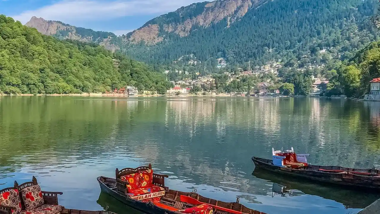
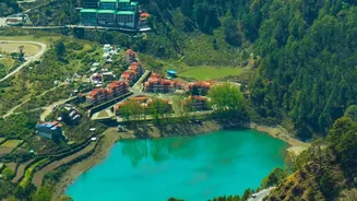
a respite from the scorching heat of the plains, British officials, soldiers, and their families began flocking to the area. Soon, a proper town began to take shape, and with it, the need for infrastructure. The Mall Road, constructed between 1841 and 1885, was conceived as the town's main artery. It was designed to run parallel to the pristine Naini Lake, connecting the two ends of the settlement: Tallital (the lower end) and Mallital (the upper end). It wasn't just a road; it was the designated promenade for the colonial elite to see and be seen.
An Exclusive British Promenade
In its early days, the Mall Road was a symbol of colonial hierarchy. Many historical accounts and local narratives point to a system of segregation. There was an Upper Mall and a Lower Mall. The Upper Mall was exclusively for the British and other Europeans. Indians, unless they were serving their British employers, were reportedly relegated to the lower road. Some accounts suggest that Indians found on the upper road could even be punished. This division served not only as a stark reminder of the prevailing social order but was also likely a security measure following uprisings in other parts of India. The road was meant for leisurely strolls, horse-drawn carts (tongas), and hand-pulled rickshaws, creating a curated, orderly experience for the ruling class.
The Devastating Landslide of 1880
The geography of Nainital was dramatically and tragically altered on September 18, 1880. After days of torrential rain, a catastrophic landslide tore through the northern end of the town. The slip buried buildings, including the original Naina Devi Temple and the Assembly Rooms, killing 151 people—108 Indians and 43 British nationals. This event was a turning point. In the aftermath, the debris from the landslide was flattened to create the large plain now known as 'The Flats'. The disaster also forced the British administration to take the region's fragile geology seriously. They constructed an extensive network of storm water drains to stabilize the hillsides and implemented stricter building codes to prevent a recurrence.
From Colonial Path to Indian Artery
After India's independence, the Mall Road underwent a profound transformation. Its exclusivity vanished, and it became a democratic space for everyone. To honour a key figure in India's freedom struggle and the development of modern Uttar Pradesh, the road was officially renamed Govind Ballabh Pant Marg. However, to this day, locals and tourists alike continue to call it by its historic name, the Mall Road. It shed its identity as a quiet colonial walkway and evolved into the commercial and cultural heart of Nainital. Banks, hotels, restaurants, and shops lined its length, catering to a new generation of Indian tourists and the local population. The road that once separated people became the very place that brought them together.
The Mall Road Today
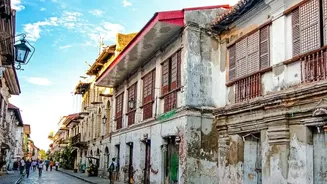
Today, the Mall Road is a vibrant, bustling hub that still connects Tallital and Mallital. Its 1.5-kilometre stretch is the epicentre of activity in Nainital. You can find everything here, from aromatic candles and woollen shawls to delicious street food and fine-dining restaurants. The colonial-era architecture visible in some of the older buildings serves as a quiet reminder of its origins. To preserve its charm and manage the flow of visitors, strict traffic rules are enforced, especially during the peak tourist season. In the evenings, traffic is often completely prohibited, allowing the road to revert to its original purpose: a place for people to stroll, enjoy the cool lake breeze, and soak in the magnificent views—a right now shared by all.