




The Geosynchronous Advantage
Most Earth observation satellites, like those in the Cartosat series, operate in Low Earth Orbit (LEO), circling the planet a few hundred kilometres up. While they provide high-resolution images, they can only view a specific location for a few minutes
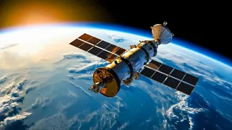
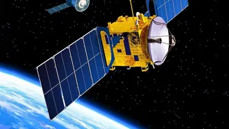
during each pass. Geosynchronous Orbit (GEO) is a completely different ball game. At an altitude of nearly 36,000 kilometres, a satellite in GEO moves at the same speed as the Earth's rotation. This allows it to seemingly hover over a fixed region, providing continuous and uninterrupted surveillance. For a country as vast and geographically diverse as India, this capability to constantly monitor weather patterns, borders, and natural resources is a strategic game-changer, moving from periodic snapshots to near-real-time video.
A Story of Redemption
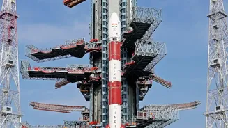
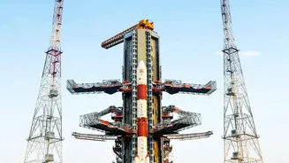
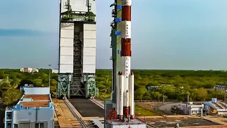
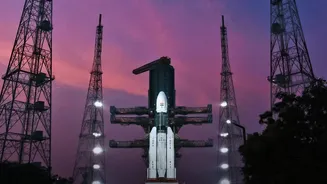
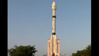
The success of EOS-05, launched on September 4, 2026, carries the weight of past challenges. This mission is a direct successor to the GISAT-1 (also known as EOS-03) satellite, which was lost in a launch failure in August 2021 due to a technical anomaly in the GSLV rocket's cryogenic upper stage. That setback, followed by other launch difficulties, created a period of introspection and engineering rigour at the Indian Space Research Organisation (ISRO). The successful flight of the GSLV-F17 rocket carrying EOS-05 is therefore a moment of triumph. It not only redeems the so-called 'naughty boy' GSLV rocket but also demonstrates ISRO's resilience and its ability to overcome complex technical hurdles. This success marks ISRO's first successful orbital launch of 2026, ending a seven-month hiatus.
Inside the New 'Eye in the Sky'
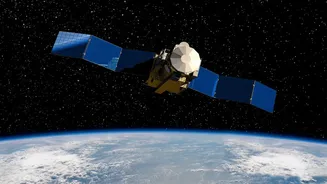
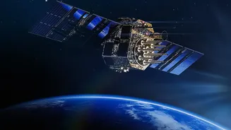
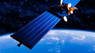
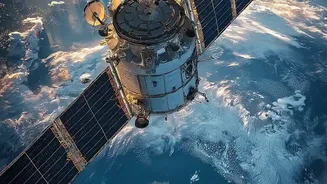
EOS-05, also known as GISAT-1A, is a state-of-the-art spacecraft weighing approximately 2,367 kg. It is designed to be India's first operational imaging satellite in this high orbit. Its payload includes advanced imaging instruments, such as multispectral and hyperspectral cameras, capable of observing the Earth in various wavelengths of light. This allows it to capture a wealth of data for different applications. The satellite is designed to image large sections of the Indian subcontinent frequently—some reports suggest it can image a selected field every five minutes and the entire landmass every 30 minutes. This high frequency of observation is crucial for tracking rapidly developing events, from cyclones forming over the ocean to troop movements in border areas.
A Game Changer for Security and Safety
The applications for EOS-05 are vast and vital for the nation. From a strategic perspective, it provides an invaluable 'eye in the sky', enhancing India's surveillance capabilities over its land and sea borders with persistent monitoring. This provides a significant advantage for national security. On the civilian front, the satellite is a powerful tool for disaster management. It can provide near-real-time imagery of floods, forest fires, cyclones, and other natural calamities, enabling authorities to respond more effectively and save lives. Furthermore, its data will be used for agricultural assessment, monitoring forest cover, and studying environmental and climate changes, contributing to better resource management across the country.
The Journey to Final Orbit
The launch on September 4 was just the first step in a complex journey. The GSLV rocket successfully placed EOS-05 into a Sub-Geosynchronous Transfer Orbit (Sub-GTO), a highly elliptical path that acts as a sort of stepping stone. From there, the satellite is using its own onboard propulsion system to perform a series of intricate orbit-raising manoeuvres. On September 5, ISRO confirmed the successful completion of the first of these engine burns, pushing the satellite into a higher orbit. Over the coming days, it will continue to fire its thrusters to circularise its path and reach its final designated parking spot in the geosynchronous arc. Once it reaches its final orbit and its systems are checked out, India's persistent watch over the subcontinent will officially begin, marking a new era in its space capabilities.