



The Moon's Navigation Nightmare
Getting around on Earth is simple. Your phone uses a Global Navigation Satellite System (GNSS), like GPS, to pinpoint your location almost instantly. But on the Moon, there is no such system. Historically, lunar missions have relied on complex and time-consuming
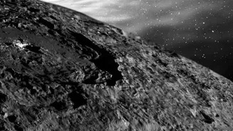
calculations from mission control on Earth. This method, known as radiometric tracking, is precise but slow, creating a significant delay between an action and its confirmation. For an astronaut driving a rover or a lander attempting to touch down on a narrow crater rim, this delay is a massive operational risk. The lunar South Pole, a key target for future missions due to potential water ice, is especially treacherous. Long, moving shadows can obscure dangerous craters and boulders, and the rugged terrain makes precise landing and movement critical for mission success and astronaut safety.
A 'GPS' for the Lunar Environment
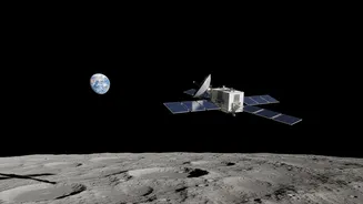
To solve this, NASA is developing and deploying a series of advanced navigation payloads. These aren't creating a brand new satellite network around the Moon just yet. Instead, they are incredibly sensitive receivers designed to do something remarkable: catch the faint whispers of Earth's own GPS and Galileo signals all the way at the Moon. Payloads like the Lunar GNSS Receiver Experiment (LuGRE) and NavCube3-mini are at the forefront of this effort. LuGRE, a joint project between NASA and the Italian Space Agency, has already proven that acquiring these signals on and around the Moon is possible. These payloads are designed to give spacecraft and surface assets the ability to calculate their own position in real-time, autonomously, without having to 'phone home' to Earth for directions.
How Does It Work?
Earth's navigation satellites broadcast their signals primarily towards the planet's surface. However, a significant amount of signal radiates out into space from the sides of the satellites' broadcast cones, known as sidelobes. While these signals are much weaker by the time they travel the nearly 400,000 kilometers to the Moon, highly sensitive receivers can lock onto them. Payloads like NavCube3-mini, which is roughly half the size of a shoebox and weighs only 3.5 pounds, are engineered specifically to detect these faint signals. By receiving timing and data information from multiple satellites, the receiver can perform the same kind of triangulation calculation your phone does, providing a precise position, velocity, and time fix directly on the Moon. This gives lunar missions a vital, independent navigation capability.
Unlocking Hard-To-Reach Terrain
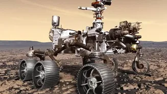
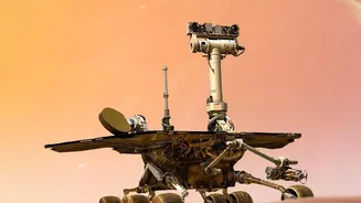
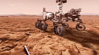
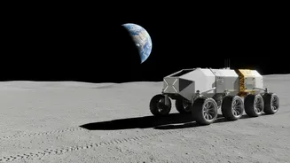
The implications of this technology are enormous. For the first time, it will enable highly precise and safe landings in scientifically valuable but hazardous locations, like the rims of permanently shadowed craters at the poles. A lander could adjust its trajectory in the final moments of descent for a pinpoint touchdown. Astronauts on a lunar traverse could navigate with confidence, knowing their exact location and the safest path back to base, even in tricky lighting conditions. Robotic rovers could autonomously explore vast new regions, like the South Pole-Aitken basin, collecting samples and data with precise location tags, which is critical for scientific analysis. This capability transforms exploration from a series of tethered, cautious steps to a more dynamic and expansive campaign.
Building the Foundation for a Lunar Economy
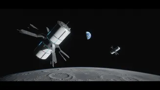
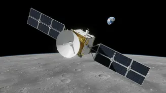
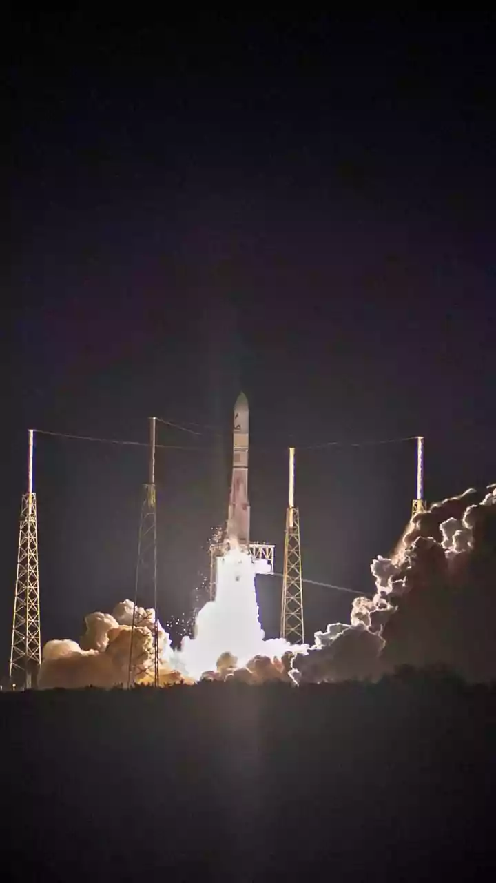
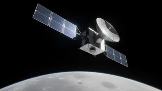
This technology is a key building block for NASA's broader LunaNet architecture, an ambitious plan to create an 'internet' for the Moon, providing communication and navigation services for all. Through the Commercial Lunar Payload Services (CLPS) program, NASA is partnering with commercial companies like Intuitive Machines and Firefly Aerospace to deliver these payloads and build out this infrastructure. A recent milestone was the delivery of the NavCube3-mini to Intuitive Machines for integration onto their Altus-1 lunar relay satellite, targeted for launch in late 2026. This network of relay satellites will eventually provide continuous coverage, supporting a bustling ecosystem of government and private missions. It will enable everything from commercial resource prospecting to the construction of a permanent human base, all reliant on the foundational ability to know exactly where you are and how to get where you're going.