



Visualising Trillions of Tonnes
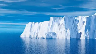
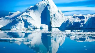
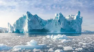
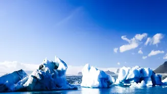
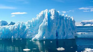
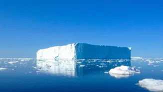
The scale of 11.3 trillion tonnes of ice is almost beyond imagination. According to a landmark international study combining data from dozens of satellites, this staggering loss occurred between 1979 and 2023. To put it in perspective, this volume of frozen
water would be enough to cover the entire continental United States in a layer of ice about 1.5 metres (5 feet) deep. This comprehensive analysis, published in the journal Scientific Data, represents the most complete picture of polar ice sheet change to date, confirming a dramatic and accelerating trend that began in the 1990s.
The Impact on Global Sea Levels
All that melted ice has to go somewhere. The study confirms this mass loss contributed about 3.1 centimetres (1.2 inches) to global sea level rise over the period. While that might not sound like much, it's a significant addition to the world's oceans. Today, the polar ice sheets are responsible for about a quarter of all sea level rise. Scientists note that for every centimetre of global sea level rise, between two to three million additional people worldwide are exposed to annual coastal flooding. This makes the 3.1 cm contribution from polar melt a serious concern for coastal communities globally.
It's Not Just Surface Melting
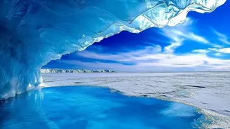
One of the most crucial findings from the research is how the ice is being lost. While images of surface melt pools are common, they don't tell the whole story. The study revealed that a remarkable 84% of the total ice loss was not from surface melting. Instead, it was driven by changes in ice dynamics—meaning glaciers are flowing faster and discharging enormous quantities of ice directly into the warming ocean. This is a critical distinction because it shows the long-term trend is being driven by the ice sheets' response to a warming ocean, a powerful and persistent force. In West Antarctica, for example, the acceleration of the Pine Island and Thwaites glaciers has been a major factor.
Fact vs. Exaggerated Futures
The data is alarming, but it's important to separate scientific projections from doomsday scenarios. The loss of 11.3 trillion tonnes is a scientifically documented fact, as is the accelerating trend since the 1990s. However, this does not mean that cities like Mumbai or Chennai will be underwater tomorrow. Exaggerated claims of sea levels rising by many metres within a few decades are not supported by mainstream scientific consensus. The Intergovernmental Panel on Climate Change (IPCC) projects a rise of between 0.26 and 0.82 metres by the end of the century, depending on emission levels. Even worst-case, rapid-collapse scenarios project around 2 metres by 2100, which is catastrophic but a far cry from the most extreme claims sometimes seen online. The science is serious enough on its own; it doesn't need hyperbole.
What It Means for India's Coastline
For India, with its 7,500-kilometre coastline and densely populated coastal cities, even modest sea level rise is a major threat. A UN report highlighted that cities like Mumbai and Kolkata are at a growing risk of displacement and flooding, compounded in some areas by land subsidence. The steady rise in sea levels means more frequent and severe coastal flooding, erosion of shorelines, and saltwater intrusion into freshwater sources, which impacts agriculture and drinking water. Reports have already noted that over a third of India's coastline is vulnerable to erosion. Understanding the real, scientifically-backed numbers is crucial for creating effective and realistic protection plans for the millions of people living in these vulnerable areas.