


A New Eye in the Sky for Wildfires
In the critical moments after a wildfire ignites, every second counts. Historically, firefighters have relied on reports from the public or sporadic watchtower sightings, often after a blaze has already grown. A new system called FireSat is designed to slash
that detection time from hours to mere minutes. The initiative, led by the nonprofit Earth Fire Alliance, recently expanded its orbital constellation with the successful launch of three new satellites. This isn't just an incremental update; it's the first satellite system designed specifically for the purpose of hunting wildfires, adding a powerful new layer to global climate resilience efforts. The goal is to provide fire agencies with alerts so quickly that they can respond before a small flame becomes an uncontrollable disaster.
How the Technology Works
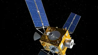
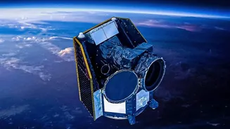
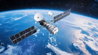
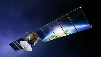
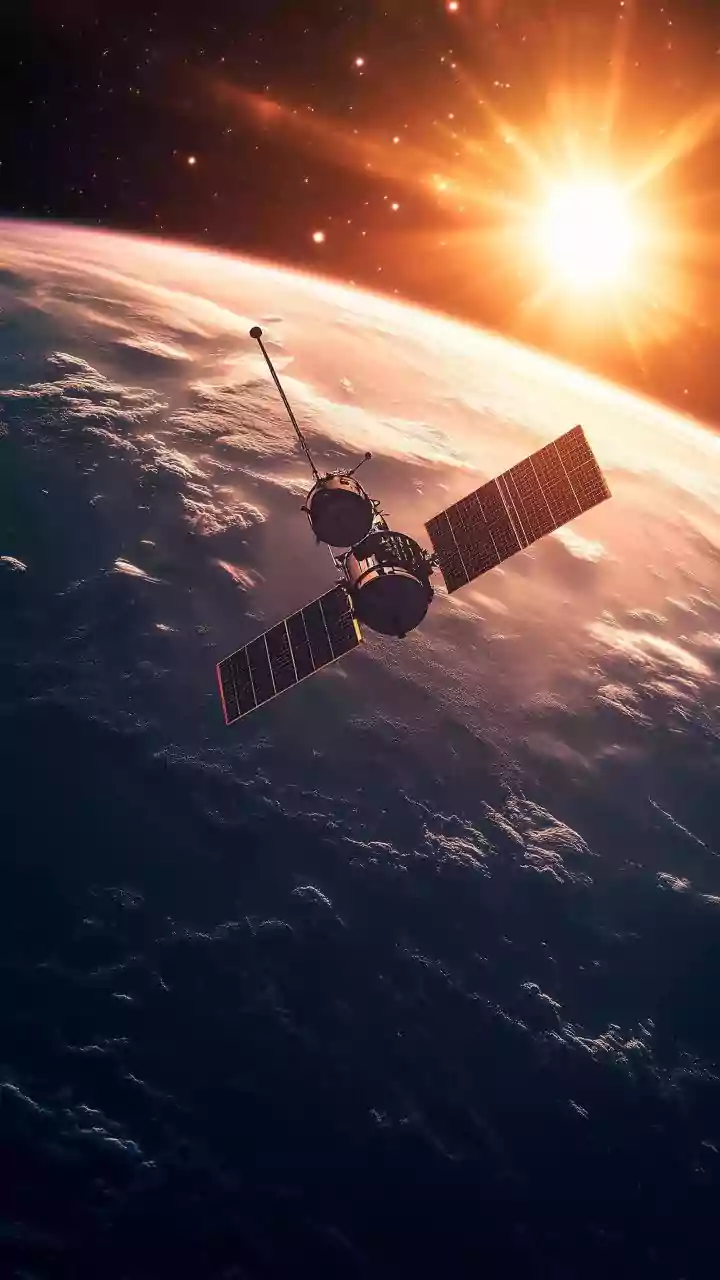
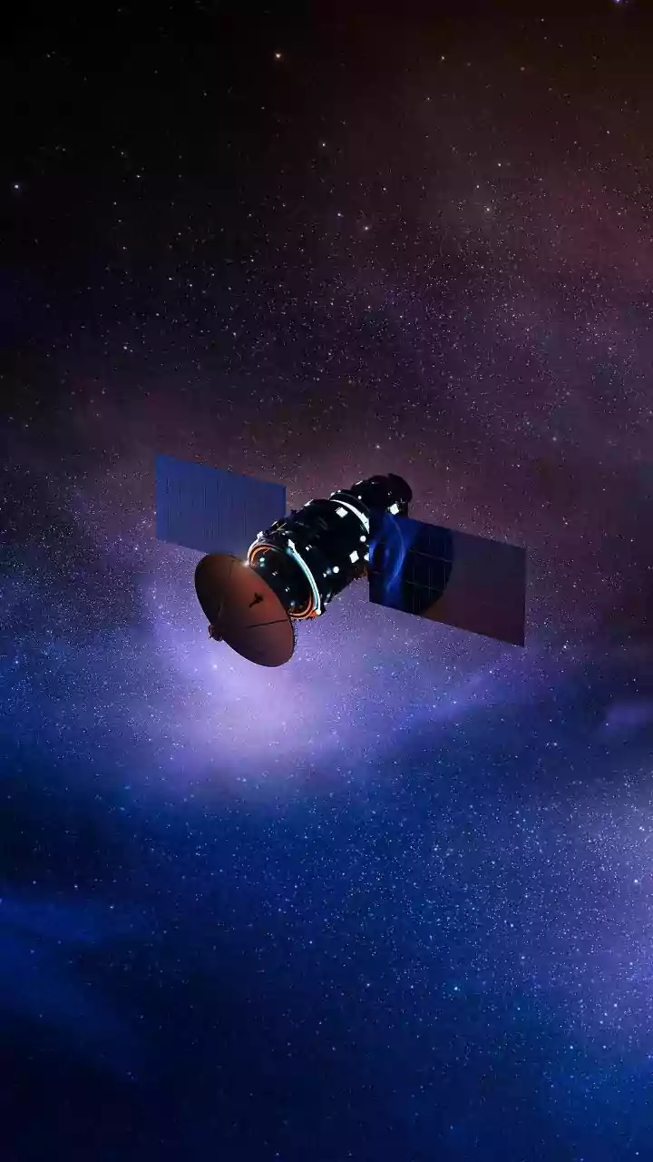
Unlike standard observational satellites that see the world in visible light, the FireSat system uses advanced thermal-infrared cameras. These specialized sensors don't look for smoke; they look for heat. Mounted on small satellites—each about the size of a dishwasher—orbiting the Earth, they can detect the specific temperature signature of a fire day or night, and even through thick smoke. The system is sensitive enough to spot a fire as small as 5x5 meters, roughly the size of a large car or a two-car garage. A prototype satellite launched in 2025 already proved the concept's value by identifying small, low-intensity fires that were completely missed by existing, less sensitive satellite networks.
Where Google Fits In
While the Earth Fire Alliance leads the project and the spacecraft are built by manufacturer Muon Space, Google provides a critical component: artificial intelligence and cloud computing power. Detecting a heat signature from space is only half the battle. The system must be able to distinguish a nascent wildfire from other harmless heat sources, like a sun-baked rock or industrial activity. This is where Google's AI comes in. The system analyzes the thermal data in near real-time, comparing it against thousands of previous images of the same location and factoring in variables like local weather to filter out false positives. Once a fire is confirmed, an alert is generated. Google.org, the company's philanthropic arm, has also provided more than $15 million in funding to support the deployment of these early satellites.
The Future of Fire Fighting
With the three new satellites joining the prototype, the FireSat network is now moving from a proof-of-concept to an operational service. After a calibration period of about three months, the system will begin delivering real-time data to early adopters, including fire agencies like Cal Fire and others in Colorado and Oregon. This is just the beginning. The long-term vision for the Earth Fire Alliance is to operate a constellation of over 50 satellites by the early 2030s. Such a network would be able to scan every location on the planet for fires at least every 20 minutes. This capability represents a fundamental shift in how wildfires are detected and managed, moving from a reactive model to a proactive one. Projections suggest that once fully active, the system could save over $1 billion in damages and protect thousands of homes in the U.S. annually.