




The Power of Earth Observation
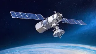
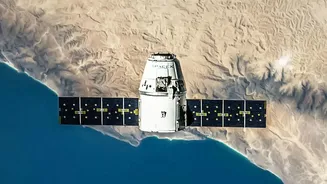
At its core, the EOS program, managed by the Indian Space Research Organisation (ISRO), is about seeing our own planet in unprecedented detail. Unlike communication satellites that relay signals, or navigation satellites that tell us our location, Earth
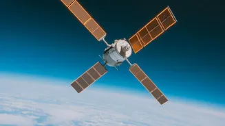
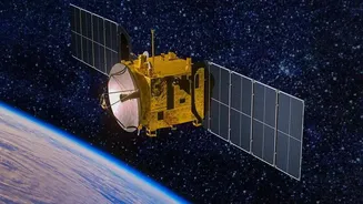
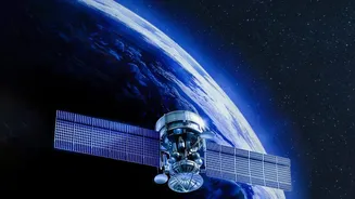
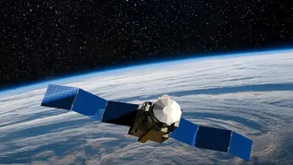
Observation satellites are designed to watch, monitor, and collect information about the Earth’s surface, oceans, and atmosphere. This isn't just about taking pictures; these satellites are equipped with sophisticated sensors, such as multispectral cameras and radar systems, that can see through clouds and capture data across various light spectrums, day or night. Satellites like EOS-04, for instance, are radar imaging satellites specifically designed to provide high-quality images regardless of weather conditions. This capability is a game-changer, allowing for consistent monitoring of vast and often inaccessible areas.
A Lifeline During Disasters
One of the most critical applications of the EOS program is in disaster management. India is a country prone to natural calamities, from cyclones and floods to landslides and forest fires. The data from these satellites is crucial for providing early warnings, monitoring the progression of a disaster in near real-time, and assessing the extent of damage afterward. For example, flood mapping data from satellites helps authorities identify inundated areas, plan rescue operations, and deliver aid to those most in need. The ability of satellites like EOS-04 to see through cloud cover is particularly vital during cyclone season, when conventional imaging is impossible. This constant watch from above empowers disaster response agencies to make quicker, more informed decisions, ultimately saving lives and property.
Revolutionising Indian Agriculture
Beyond emergencies, the EOS program is quietly transforming one of India's most vital sectors: agriculture. The data gathered helps in monitoring crop health, assessing soil moisture levels, and predicting crop yields on a large scale. By analysing satellite imagery, experts can identify areas under stress due to lack of water or pest attacks, allowing for targeted interventions. This shift towards precision agriculture helps farmers optimise the use of water and fertilisers, reducing costs and increasing productivity. Furthermore, this information is invaluable for policymakers, enabling accurate crop production forecasts that inform decisions on food stocking, pricing, and import/export policies, thereby strengthening national food security.
From Oceans to National Security
The benefits extend to our vast maritime territories as well. Satellites in the series, such as EOS-06 (also known as Oceansat-3), are specifically designed to monitor the oceans. They track ocean colour, which indicates the presence of phytoplankton—the base of the marine food chain—helping to identify potential fishing zones for our fishing communities. They also monitor sea surface temperatures and wind patterns, which are crucial for weather forecasting and understanding climate change. On the strategic front, a robust Earth Observation capability enhances national security. While the specifics are not always public, the ability to monitor borders, track maritime movements, and maintain surveillance over areas of interest is a significant asset for the nation's defence and security apparatus. This comprehensive watchfulness contributes to greater situational awareness across India’s land and maritime domains.