


The Twin Threats from Above
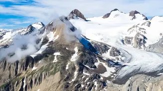
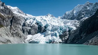
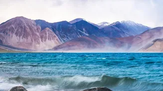
The danger is twofold. First, as glaciers melt at an accelerated pace, they are forming thousands of new and expanding glacial lakes. Many are held back only by fragile dams of loose rock and debris known as moraines. These can breach without warning,
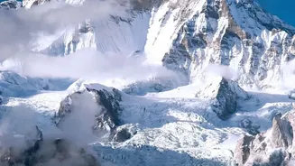
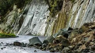
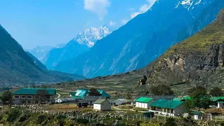
unleashing a devastating wall of water, ice, and rock called a Glacial Lake Outburst Flood (GLOF). The second threat comes from the slopes themselves. The same rising temperatures that melt glaciers also thaw permafrost—the frozen soil and rock that acts like glue holding mountainsides together. As this 'glue' melts, entire slopes become unstable, raising the risk of catastrophic landslides and avalanches that can block rivers or crash into settlements.
Echoes of Past Disasters
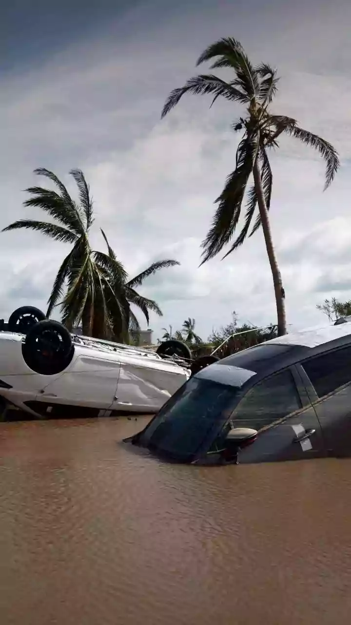
These are not hypothetical risks. India has witnessed several deadly disasters linked to this instability. The 2021 Chamoli disaster in Uttarakhand, initially thought to be a GLOF, was later identified as a massive rock and ice avalanche that killed over 200 people and destroyed two hydropower projects. More recently, in October 2023, the South Lhonak Lake in Sikkim breached its moraine dam, creating a 20-metre high wave that washed away infrastructure and settlements downstream. A recent deadly flash flood in Nepal in August 2026, which started with a glacial collapse in Tibet, has once again highlighted the cross-border nature of this threat and renewed focus on India's preparedness for similar events.
The Monitoring Blind Spot
Despite the clear and present danger, monitoring these high-altitude threats remains a massive challenge. The sheer scale is daunting; India's Himalayan region hosts around 7,500 glacial lakes, with government surveys identifying approximately 200 as high-risk. Many of these are in remote, inaccessible locations, making on-the-ground monitoring difficult and expensive. While agencies like ISRO use satellite technology to create inventories and map changes, this provides a periodic snapshot rather than real-time data. Consequently, our ability to predict an imminent GLOF or a major landslide is limited. Currently, manual early warnings often rely on personnel like the Indo-Tibetan Border Police (ITBP) physically spotting rising water levels, which may only provide minutes of warning.
A Blueprint for Safety and Survival
Better monitoring is not just about satellites; it requires a multi-layered, technology-driven approach. This involves installing sensor-based systems on high-risk lakes and slopes that can detect changes in water level, pressure, and ground movement in real-time. Technologies like Synthetic Aperture Radar (SAR) and terrestrial laser scanners can track glacier movement and slope deformation with high precision. When these sensors detect a threat, they can automatically trigger early warning systems—sirens and mass-messaging alerts—for downstream communities, buying precious time for evacuation. The government has initiated a National GLOF Risk Mitigation Programme and allocated funds, but experts stress that implementation needs to be scaled up urgently. Predictive models, like those being developed at IIT Guwahati, can also help identify future hotspots where new glacial lakes are likely to form.