





The Quest for a Lunar GPS
For decades, navigating in space has been a complex dance between spacecraft and mission controllers on Earth. Every move, every position check, required constant communication across hundreds of thousands of kilometres. This method is reliable but slow
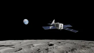
and resource-intensive. As NASA and its international partners gear up for a sustained human presence on the Moon under the Artemis program, this old model won't suffice. Future astronauts and robotic rovers need the ability to know their precise location in real-time, independently. This is where the Lunar GNSS Receiver Experiment, or LuGRE, comes in. This clever piece of technology is designed to do something that sounds simple but is technically audacious: use the GPS signals from Earth to navigate on and around the Moon.
Tapping Into Earth's Signal
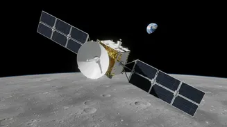
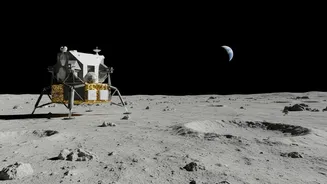
The Global Navigation Satellite System (GNSS), which includes the familiar American GPS and European Galileo systems, was designed to blanket the Earth with positioning signals. Their satellites point their main signals downward, toward us. It was long theorized, but never proven, that the weaker signals radiating from the sides of these satellites—the 'side lobes'—travel far out into space. The LuGRE payload, a joint effort between NASA and the Italian Space Agency, was built to test this theory. Flying aboard a commercial lunar lander, LuGRE's highly sensitive receiver successfully detected and tracked these faint signals from Earth's GPS and Galileo satellites, achieving the first-ever GNSS-based navigation fix on the lunar surface. This confirmed that even though we are a quarter-million miles away, the infrastructure we use for navigation on Earth can be repurposed for the Moon.
A Paradigm Shift in Navigation
The success of LuGRE is a paradigm shift for lunar missions. It means future spacecraft, landers, and rovers can be equipped with similar receivers, allowing them to calculate their position and velocity autonomously, without having to 'phone home' to Earth. This capability is crucial for several reasons. Firstly, it dramatically increases mission safety. During critical phases like orbital insertion or landing, real-time positioning is vital. Relying on ground control introduces delays that can be risky. Secondly, it boosts efficiency. Less reliance on Earth-based tracking frees up valuable deep-space communication networks for sending back important scientific data. Finally, it unlocks true autonomy, allowing rovers to navigate complex terrain on the far side of the Moon, where direct communication with Earth is impossible.
The Road Ahead for Artemis
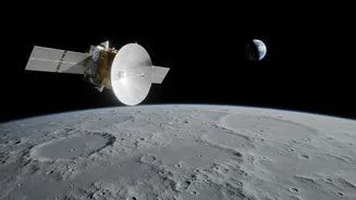
This technology is not just an experiment; it is a foundational piece of the Artemis architecture. NASA is already building on LuGRE's success with payloads like the NavCube3-mini, a compact and powerful receiver designed for upcoming lunar missions. These devices will be integrated into a network of commercial lunar relay satellites, creating a system called LunaNet. This network will provide not only navigation but also communication services across the entire lunar surface, much like our cellular and GPS networks on Earth. For the Artemis astronauts who will land near the challenging lunar South Pole, this means having a reliable navigation tool to guide their explorations, enhancing both their safety and scientific output.