

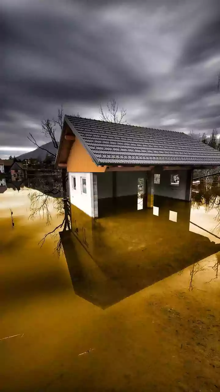

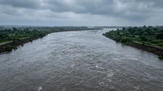

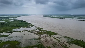
A Shared Geography of Sorrow
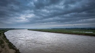
The fundamental reason for this cross-border threat is simple geography. Several major Himalayan rivers, including the Kosi, Gandak (known as Narayani in Nepal), and Ghaghara, originate in or flow through Nepal before descending into the flat, densely
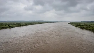
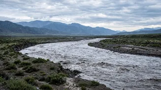
populated plains of India. States like Bihar and Uttar Pradesh lie directly in the path of these powerful river systems. When heavy rains, cloudbursts, or glacial melt cause a surge of water in Nepal's mountainous terrain, that water has to go somewhere. It flows downstream with immense force and volume, gathering sediment and speed, before spilling onto the plains of northern India. The Gandak, for instance, has a vast catchment area in Nepal, meaning that events upstream have a direct and significant effect on the volume of water entering Bihar and UP.
A Torrent of Recent Warnings
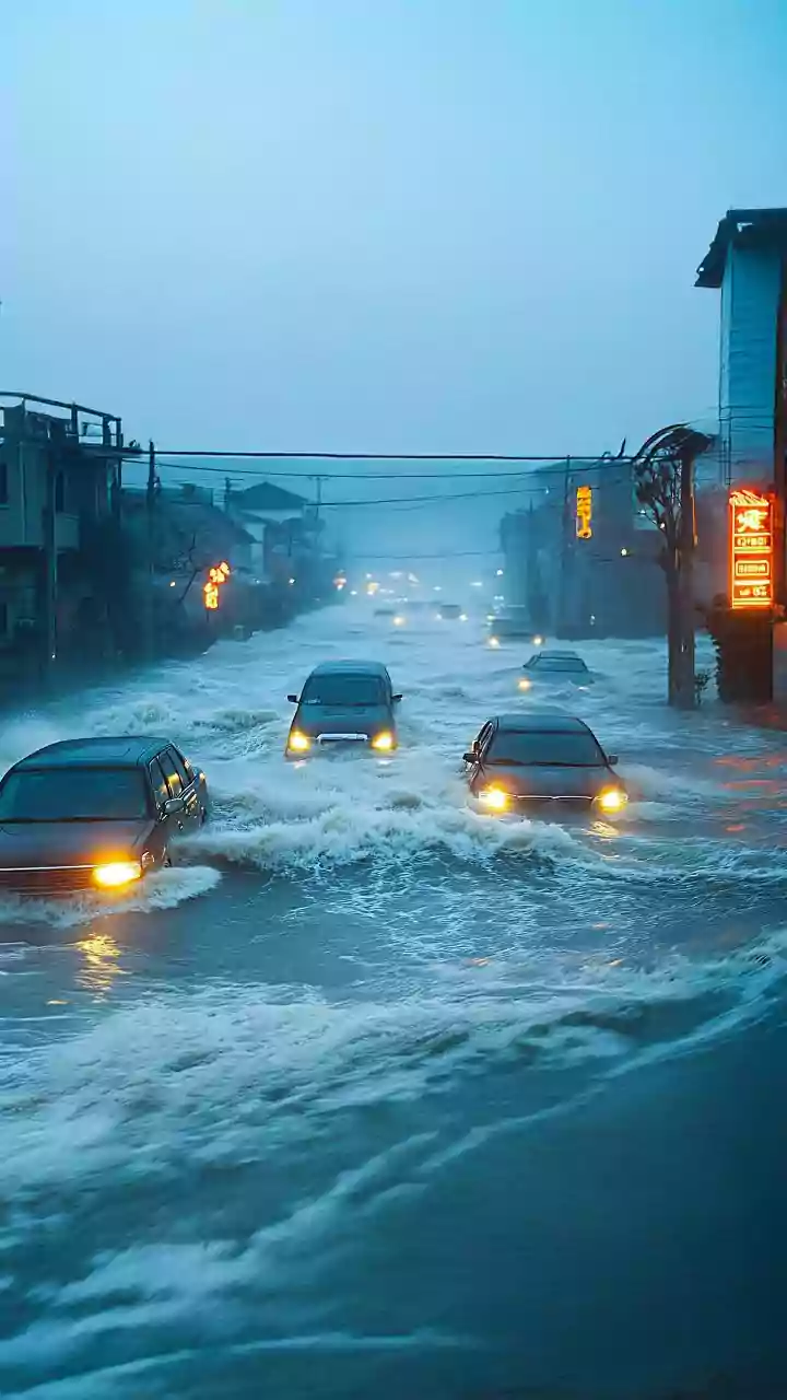
This threat is not theoretical. A recent catastrophic flash flood in Nepal, beginning around August 26, 2026, immediately put Indian authorities on high alert. The disaster, believed to have started with a glacial collapse or avalanche in the Himalayas, sent a surge of water down the Trishuli and Narayani river systems. In response, officials in Bihar took urgent precautionary measures, including opening all 36 gates of the Gandak Barrage at Valmikinagar to manage the expected surge. The National Disaster Response Force (NDRF) deployed multiple teams in both Bihar and Uttar Pradesh, readying for potential evacuations and rescue operations in districts like West Champaran, Gopalganj, Kushinagar, and Maharajganj. While initial reports suggested the immediate impact on the Indian side was not as severe as feared, the incident served as a stark, real-time reminder of the ever-present danger.
The Compounding Crisis of Climate Change
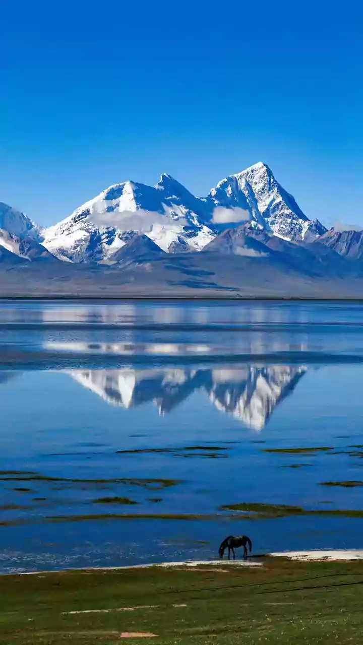
The seasonal monsoon has always made this region prone to flooding, but climate change is amplifying the threat. Scientists warn that rising global temperatures are making Himalayan glaciers retreat at an alarming rate. This not only alters river flows but also increases the risk of catastrophic events like Glacial Lake Outburst Floods (GLOFs), where the natural dams containing glacial lakes fail. An ice-rock avalanche was a suspected cause of the recent Nepal floods. Furthermore, climate change is making the monsoon more erratic, leading to shorter, more intense bursts of extreme rainfall that can overwhelm river systems. The combination of accelerated glacial melt and volatile rainfall patterns means that the Himalayan region is becoming a source of cascading disasters.
A Strained Partnership on Water
Managing this shared threat requires immense cross-border cooperation, which has a long and complex history between India and Nepal. Agreements like the Kosi Agreement of 1954 and the Gandak Agreement of 1959 were established to build barrages and embankments for flood control, irrigation, and power generation. These projects, funded and largely managed by India, have often been sources of friction, with issues of sovereignty, maintenance, and compensation creating diplomatic challenges. While several joint committees and mechanisms exist for sharing flood forecasts and hydrological data, experts argue that the approach needs to evolve. The focus must shift from simply issuing flood warnings to a more integrated, basin-wide approach that includes impact forecasting—predicting not just that a river will rise, but which villages and infrastructure will be affected.