






An Ocean Running a Fever
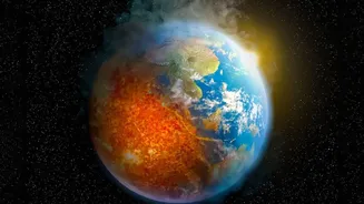
Recent data from global climate monitoring agencies has confirmed that sea surface temperatures in the central and eastern equatorial Pacific have reached unprecedented levels. This area, a critical zone for monitoring the El Niño-Southern Oscillation
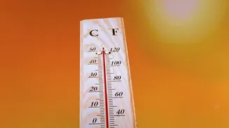
(ENSO) cycle, is showing temperatures significantly above the long-term average. For months, the global ocean surface temperature has been setting new records, but the intensity of the warmth in this specific Pacific region is particularly noteworthy. Scientists confirm this is part of a rapidly strengthening El Niño event, a natural phenomenon characterized by warmer-than-average ocean temperatures in this area. However, the sheer scale of the current temperature anomalies has some experts concerned that this could become one of the strongest El Niño events ever recorded.
The Planet's Climate Engine: ENSO
The El Niño-Southern Oscillation (ENSO) is a recurring climate pattern involving a seesaw of ocean temperatures and atmospheric pressure across the tropical Pacific. In a normal, or 'neutral', phase, trade winds blow from east to west, pushing warm surface water towards Indonesia and Australia. This allows cooler, nutrient-rich water to rise from the depths along the coast of South America. During an El Niño, these trade winds weaken or even reverse. The massive pool of warm water then sloshes eastward, spreading across the central and eastern Pacific. This change is significant because the ocean and atmosphere are tightly linked. The location of the warmest ocean water dictates where major areas of rising air, cloud formation, and rainfall will occur. The opposite phase, La Niña, involves a cooling of these same waters and a strengthening of the trade winds.
How Pacific Ripples Go Global
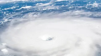
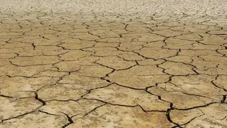
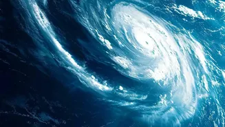
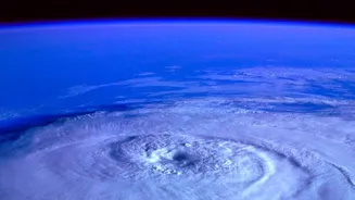
A change in the Pacific doesn't stay in the Pacific. The atmosphere responds to the new distribution of ocean heat, triggering a chain reaction that affects weather patterns thousands of kilometres away. Scientists call these long-distance connections 'teleconnections'. Think of the warm Pacific as a large stone dropped into a pond; the ripples spread far and wide. The shift in rainfall and thunderstorms over the Pacific alters massive atmospheric circulation patterns, like the jet streams, which act as high-altitude rivers of air that steer weather systems around the planet. By changing the path of the jet stream, an El Niño can influence everything from the number of hurricanes in the Atlantic to winter temperatures in North America and drought conditions in Australia and parts of Africa.
Potential Impacts on India's Weather
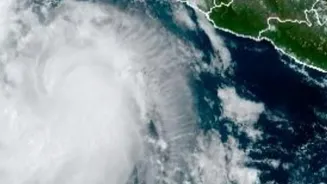
For India, the primary concern during an El Niño is its potential impact on the monsoon. The warming of the central and eastern Pacific can alter the atmospheric pressure and wind patterns that drive the crucial summer monsoon, which is vital for the country's agriculture and water security. Historically, strong El Niño events have often been associated with suppressed monsoon rainfall, leading to drought conditions in parts of South Asia. However, the relationship is not always straightforward. Other climate factors, such as conditions in the Indian Ocean—like the Indian Ocean Dipole—can either counteract or worsen El Niño's influence. Beyond the monsoon, a strong El Niño can also affect post-monsoon cyclone activity in the Arabian Sea, sometimes creating conditions favourable for more intense storms. While every El Niño is different, the current record-setting warmth has forecasters watching these potential outcomes very closely.
An Unpredictable Future
While scientists are certain that this strong El Niño will persist for several months, its exact consequences are still unfolding. The World Meteorological Organization has warned that the event will continue to gain strength, likely peaking toward the end of the year. This phenomenon is occurring in a world already made warmer by climate change, and the record heat in the oceans provides more energy to be released into the atmosphere, potentially amplifying extreme weather events. Forecasters are using complex climate models to predict the regional impacts, but acknowledge that these large-scale patterns interact in complex ways. What is clear is that the planet's climate system is sending a powerful signal from the heart of the Pacific, underscoring the interconnectedness of our global weather and the need for close monitoring in the months ahead.