


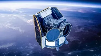

A New Watchtower in the Sky
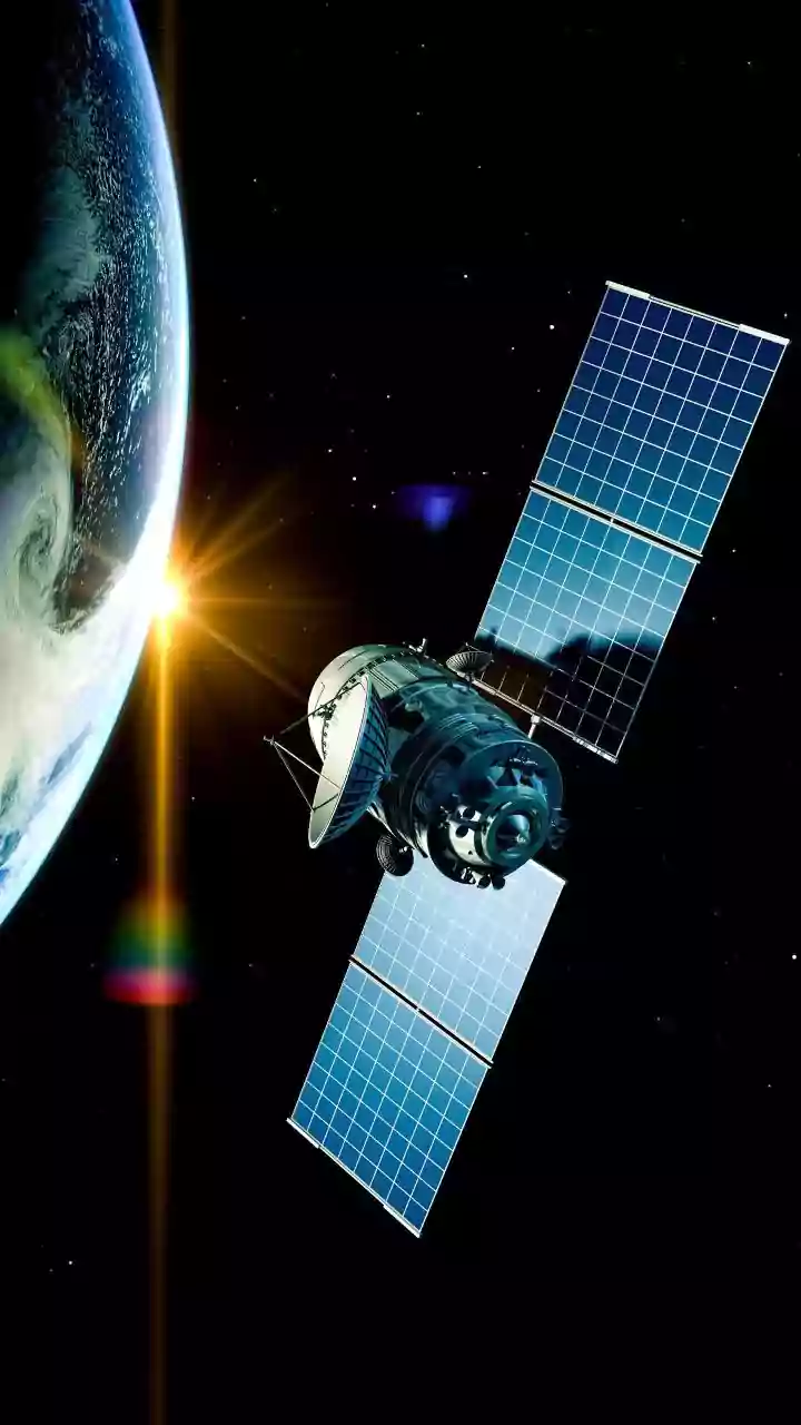
On July 7, 2026, three new FireSat satellites were successfully launched into orbit from California’s Vandenberg Space Force Base. This event marked the beginning of what is called an 'Initial Operational Capability' for the FireSat constellation. This means
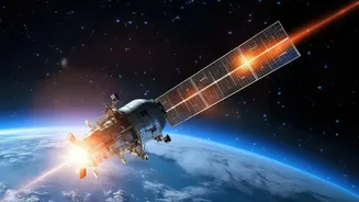
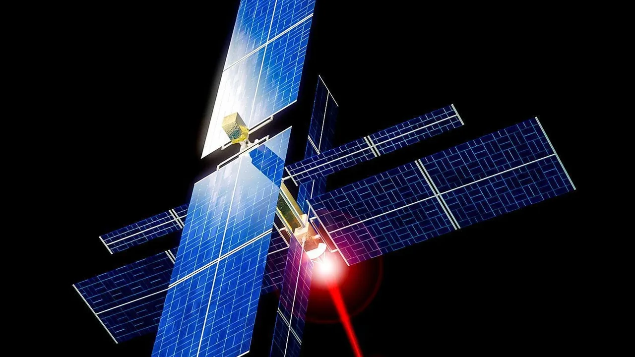
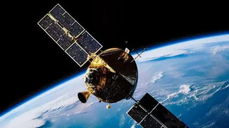
the system is moving beyond the prototype phase, which began in 2025, and into limited operational service. The project is a major collaborative effort involving the nonprofit Earth Fire Alliance (EFA), Google Research, and spacecraft manufacturer Muon Space. The goal is to create the first-ever satellite system designed specifically and exclusively for spotting wildfires from their earliest moments.
What Makes FireSat Different?
For years, firefighters and scientists have relied on data from weather and Earth-observation satellites that were not designed for fire detection. This often meant that data was low-resolution or the satellites passed over a location too infrequently to catch a small fire before it grew. FireSat is built to solve this problem. Its satellites are equipped with a six-channel multispectral infrared payload. This specialized technology allows the system to detect heat signatures day or night, see through smoke, and distinguish active flames from other heat sources on the ground. The system is sensitive enough to spot fires as small as five-by-five meters, a huge improvement over existing capabilities.
From Hours to Minutes
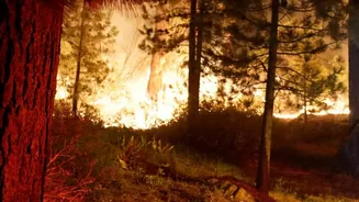
The single most critical factor in controlling a wildfire is early detection. A small blaze found within minutes can often be contained, while one that burns for hours can become an unstoppable disaster. Current systems can have significant delays in processing and delivering alerts. The FireSat system aims to dramatically shrink that window. By using artificial intelligence to analyze images and compare them with previous scans, the system can quickly identify potential new fires and send alerts to emergency responders. The ultimate goal for the full constellation is to scan every point on Earth roughly every 20 minutes. This frequent 'revisit rate' is a game-changer, providing a level of persistent monitoring that has not been possible before.
The Path to Global Coverage
The three newly launched satellites are just the beginning. They join a prototype that has been in orbit since 2025, and together this initial group will provide coverage at least twice a day over the world's most fire-prone regions. This 'Initial Operational Capability' phase will serve as a crucial test, allowing real fire agencies to use the data and provide feedback. The plan is to expand the network significantly in the coming years. The Earth Fire Alliance aims to have a constellation of more than 50 satellites in orbit by 2030. This would achieve the target of hourly, and eventually near-20-minute, revisit times for the entire planet, creating a truly global and near-real-time fire alert system.