





What is NavIC, India's Answer to GPS?
NavIC, which stands for Navigation with Indian Constellation, is India's autonomous regional satellite navigation system. Conceived after the Kargil War in 1999, when the US reportedly denied India access to its GPS data, NavIC was developed to ensure
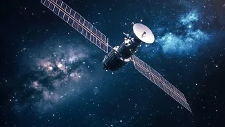
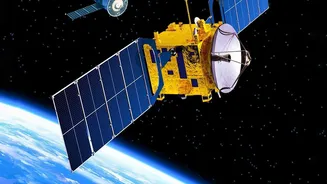
India has its own independent and reliable positioning, navigation, and timing (PNT) services for both military and civilian use. Unlike the global coverage of GPS, NavIC is designed to serve India's mainland and a region extending 1,500 kilometres around it. The original constellation was designed with seven satellites, a specific configuration to ensure continuous coverage over its intended service area. For users, it promised accurate location data for everything from vehicle tracking and disaster management to guiding missiles and troop movements.
A Constellation Under Strain
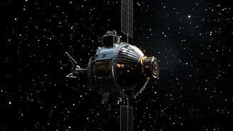
In recent years, NavIC's effectiveness has been hampered by significant technical issues. The primary problem has been the failure of imported rubidium atomic clocks aboard several of the first-generation satellites. These clocks are the heart of any navigation satellite, providing the ultra-precise timing data needed to calculate a position on Earth. With multiple clock failures, several satellites became incapable of providing navigation services. As of mid-2026, government officials confirmed that NavIC was operating with only three functional satellites for positioning, falling short of the minimum four required to provide a standalone positioning service. While timing services remained functional, the system could not independently determine a user's location, a major blow to its primary mission.
The October Lifeline: NVS-03
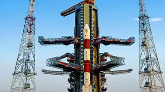
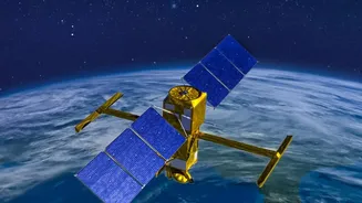
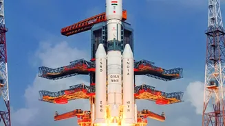
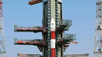
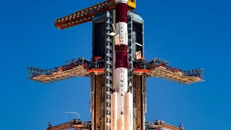
To address the constellation's degradation, ISRO began launching a new generation of satellites, the NVS series. The first, NVS-01, was successfully launched in May 2023, equipped with a new, indigenously developed rubidium atomic clock. However, a subsequent mission to launch NVS-02 in January 2025 failed to place the satellite into its correct orbit due to a propulsion system issue. This makes the upcoming launch of NVS-03, targeted for a window between October 15 and 20, 2026, incredibly significant. If successful, NVS-03 will restore the number of operational satellites to the crucial threshold of four, allowing NavIC's independent positioning service to be reactivated. The NVS series satellites also carry the L1 frequency band, widely used in consumer devices globally, which is expected to boost NavIC's adoption in the mass market.
Why 'Independent Positioning' Matters
The phrase 'independent positioning capability' is at the core of NavIC's existence. Relying on foreign-owned systems like the American GPS or Russian GLONASS creates a strategic vulnerability. During a conflict, access to these systems could be restricted, degraded, or denied entirely, crippling a nation's military effectiveness. An independent system like NavIC ensures that India's armed forces have secure, uncompromised access to navigation for missiles, warships, aircraft, and troop movements. For civilians, it means a robust and reliable navigation service tailored to the Indian region that is not subject to the geopolitical whims of other nations. This autonomy is not just about military security; it's about technological sovereignty and guaranteeing essential services for disaster management, transportation, and logistics.