




A Bird's-Eye View of the Damage
The first challenge in any major disaster, like a flood or earthquake, is understanding the scale of the devastation. When roads are washed away and power is out, ground-level information is impossible to get. This is where satellite imagery becomes invaluable.
Satellites equipped with high-resolution cameras can provide a clear, wide-area view of the affected region. By comparing 'before' and 'after' images, emergency responders can instantly identify the hardest-hit areas, see which bridges have collapsed, and map the extent of flooding. This allows them to assess damage without putting personnel at risk and strategically plan their response. For example, radar-based satellites can see through clouds, which is crucial for assessing floods and cyclones that are accompanied by heavy rainfall.
Guiding Rescuers on the Ground
Once the damage is assessed, the next priority is getting help to those who need it. Satellite data helps first responders navigate treacherous landscapes. With up-to-date maps created from satellite images, rescue teams can identify safe routes to reach stranded communities, avoiding blocked roads or newly formed water bodies. This information is critical for deploying aid, evacuating people, and setting up temporary shelters in the safest possible locations. Agencies can pinpoint exactly where to send resources like food, water, and medical supplies, ensuring that aid is distributed efficiently and effectively to the most vulnerable populations.
A Lifeline When Networks Fail
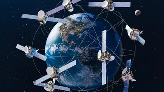
In the immediate aftermath of a disaster, cell towers and internet cables are often among the first casualties, plunging the affected area into a communication blackout. This is when satellite communication (SATCOM) becomes a lifeline. Unlike terrestrial networks that rely on ground infrastructure, satellite phones and portable internet terminals connect directly to satellites in orbit, making them immune to local damage. This allows emergency teams to coordinate their efforts, share real-time information, and stay connected with command centres. For residents, this technology can be the only way to contact loved ones or call for help. Satellite backhaul services can also be used to restore temporary cellular service in a disaster zone, connecting communities when they are most isolated.
The Indian Context with ISRO
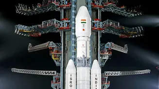
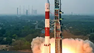
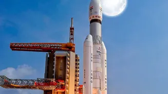
India, with its diverse and challenging geography, heavily relies on satellite technology for disaster management. The Indian Space Research Organisation (ISRO) plays a pivotal role, using its constellation of satellites to monitor and respond to natural calamities. Satellites like the INSAT series are used for cyclone tracking and early warnings, while the RISAT and Cartosat series provide high-resolution imagery for mapping floods and landslides. This data is shared with national and state agencies, including the National Disaster Management Authority (NDMA), to facilitate timely action. For instance, during the Kerala floods in 2018 and the Uttarkashi flash floods, real-time satellite data was crucial for guiding rescue operations and assessing the damage.
From Early Warnings to Recovery
The utility of satellite data extends across the entire disaster lifecycle. Before a disaster, it helps in creating hazard maps and issuing early warnings for events like cyclones and droughts, allowing for timely evacuations and preparedness. During a crisis, it provides real-time situational awareness. And after the event, satellite imagery is used to conduct detailed damage assessments, which helps governments and relief organisations plan for long-term recovery and reconstruction. By monitoring changes over time, authorities can make informed decisions about rebuilding infrastructure to be more resilient against future events.