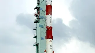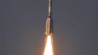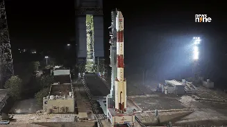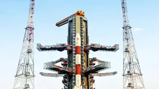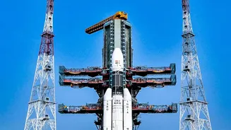






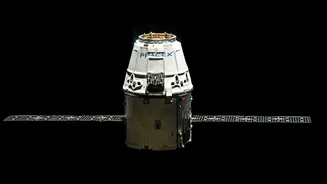
When you look up a location on your phone, you are likely using a global positioning system. But India has its own 'swadeshi' alternative: NavIC. A crucial new satellite, NVS-03, is designed to make this homegrown system more robust and reliable.
First, What is NavIC?
NavIC,
which stands for Navigation with Indian Constellation, is India's autonomous regional satellite navigation system, developed by the Indian Space Research Organisation (ISRO). Think of it as India's answer to the American GPS, Russia's GLONASS, or Europe's Galileo. It was conceived to provide the country with strategic autonomy in navigation, a need highlighted during the 1999 Kargil conflict when access to foreign-operated systems was not guaranteed. The system is designed to provide accurate real-time positioning and timing services across India and a region extending approximately 1,500 kilometres beyond its borders. NavIC provides two tiers of service: a Standard Positioning Service (SPS) for all civilian users and an encrypted Restricted Service (RS) for authorised users, such as the military.
Enter NVS-03: A Much-Needed Upgrade
The original NavIC constellation, known as IRNSS, faced challenges over the years, including the failure of imported atomic clocks on several satellites, which are critical for precision timing. This led to a reduction in the number of operational satellites, falling below the minimum of four required for independent positioning services. To address this, ISRO initiated the launch of a second-generation (NVS) series of satellites. NVS-03 is the third satellite in this new series, intended to replace ageing first-generation spacecraft and restore the constellation's full strength. With a planned mission life of 12 years—an improvement on its predecessors—NVS-03 is built for longevity and reliability.
New Signals for Broader Use
One of the most significant upgrades in the NVS-03 satellite is the introduction of a new L1 band frequency, in addition to the existing L5 and S bands. While this may sound technical, its practical implication is huge. The L1 frequency is the most commonly used band for civilian navigation services globally, including by GPS. By adding this signal, NavIC becomes interoperable with a vast ecosystem of existing devices. This makes it far easier for manufacturers to integrate NavIC compatibility into smartphones, smartwatches, and other low-power gadgets without requiring major hardware changes, paving the way for wider public adoption.
The 'Made in India' Heartbeat
A key feature of NVS_03 is its indigenously developed Rubidium atomic clock. These clocks are the super_precise heart of any navigation satellite, providing timing accuracy to within nanoseconds. The failure of imported clocks on earlier satellites was a major setback for the NavIC program. In response, ISRO's Space Applications Centre in Ahmedabad developed its own atomic clock. The inclusion of this homegrown technology in NVS_03 is a major step towards self_reliance, reducing dependence on foreign components for critical space infrastructure and ensuring the long_term stability of the constellation.
Why Better Coverage Matters
Restoring and enhancing NavIC's coverage has implications that go far beyond just looking up directions. For civilians, it means more reliable positioning for transportation, logistics, and location_based services. It plays a crucial role in disaster management, enabling timely alerts for cyclones and tsunamis, especially for fishermen at sea. For strategic purposes, a fully functional, sovereign navigation system is non_negotiable. It provides the armed forces with a secure, encrypted service for land, air, and sea operations without fear of being denied access by a foreign power. By strengthening NavIC, India solidifies its strategic autonomy and technological prowess on the global stage.