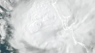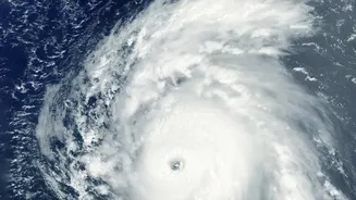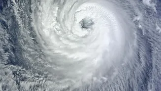







What is the Current Status of Cyclone Akvan?
As of Thursday, November 19, the India Meteorological Department (IMD) has classified Akvan as a 'Severe Cyclonic Storm'. It is currently located over the west-central Bay of Bengal and is moving in a north-northwestward direction. The IMD's classification
system is based on wind speed, with a Severe Cyclonic Storm packing maximum sustained winds between 89 and 117 kmph. The system has been moving relatively slowly, allowing it to gather more strength over the warm ocean waters, a key factor in its intensification. Authorities in both Andhra Pradesh and Odisha are on high alert, anticipating its approach.
The Forecasted Path and Landfall
Predicting the exact path of a cyclone is a complex science, but current models from the IMD provide a crucial window for preparation. As of the latest updates, Cyclone Akvan is expected to make landfall by noon on November 20. The projected crossing point is between Narsapur in Andhra Pradesh and Puri in Odisha. Upon landfall, it is expected to maintain its status as a Severe Cyclonic Storm, with sustained wind speeds of 90-100 kmph and gusts reaching up to 110 kmph. Forecasts can change, and the IMD is providing continuous updates as the storm's track becomes clearer. Residents in the potential landfall zone are advised to follow these updates closely.
The Primary Threats: Wind, Rain, and Surge
A cyclone's impact is multifaceted, bringing a combination of destructive forces. The first threat is high-velocity winds, capable of damaging homes, uprooting trees, and downing power lines. The IMD has warned of major damage to thatched houses and significant harm to plantations and standing crops. Secondly, the storm will bring extremely heavy rainfall to the coastal districts of Odisha and Andhra Pradesh, with red warnings issued for several areas. This deluge can lead to widespread urban and rural flooding, cutting off roads and disrupting traffic. Finally, a storm surge—a rise in sea level pushed ashore by the cyclone's winds—is a major concern for low-lying coastal areas, potentially causing severe coastal flooding.
Preparations and Official Advisories
In response to the threat, state governments and disaster management agencies have activated their response plans. The National Disaster Response Force (NDRF) and State Disaster Response Force (SDRF) teams have been deployed to vulnerable districts. Evacuations are underway, with authorities focused on moving people from low-lying areas and kutcha houses to designated cyclone shelters. The Odisha government has ordered the closure of schools in several districts as a precautionary measure. Fishermen have been strictly advised not to venture into the sea. Railways have also rescheduled several trains running through the potentially affected zones. The public is urged to stay indoors, follow traffic advisories, and avoid areas prone to waterlogging.
How to Stay Safe and Prepared
Personal preparedness is critical. If you are in an area under alert, ensure you have an emergency kit ready. This should include essentials like drinking water, non-perishable food, a first-aid kit, torches, batteries, and any necessary medications for at least 72 hours. Secure your home by boarding up windows and clearing your property of any loose items that could become projectiles in high winds. Charge your mobile phones and power banks to stay connected. Most importantly, rely only on official information from the IMD and state disaster management authorities like the NDMA. Avoid spreading or believing rumours. Emergency helpline numbers, such as 112, are available for assistance.