What is the story about?
What's Happening?
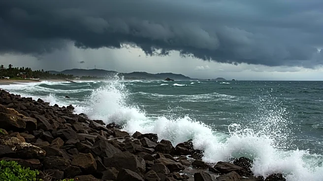
Hurricane Erin, the first hurricane of the Atlantic season, has weakened to a Category 3 storm, according to the National Hurricane Center. Despite the reduction in intensity, Erin remains a significant threat with maximum winds of 125 mph. The hurricane is currently located about 170 miles north-northwest of San Juan, Puerto Rico, and is moving west-northwest at 14 mph. The storm's outer bands are causing heavy rain and gusty winds in Puerto Rico and the U.S. Virgin Islands, with flash flood warnings in effect. Rainfall totals of 3 to 6 inches have been recorded in St. John and St. Thomas, while northern Puerto Rico has seen 2 to 4 inches. Flood watches are expected to continue until Monday morning, with isolated storm totals potentially reaching 6 to 8 inches, posing risks of flooding and landslides.
Why It's Important?
The weakening of Hurricane Erin is a temporary relief, but the storm is expected to re-intensify after completing an eyewall replacement cycle. This natural cycle often leads to a resurgence in hurricane strength. The ongoing impact of Erin on Puerto Rico and the U.S. Virgin Islands highlights the vulnerability of these regions to severe weather events. The potential for flooding and landslides poses significant risks to infrastructure and communities. Additionally, Erin's trajectory could affect the Turks and Caicos Islands and the southeast Bahamas, where tropical storm warnings and watches are in place. The storm's movement northward could also lead to dangerous surf and rip currents along the Eastern U.S. coastline, affecting areas from Florida to New England.
What's Next?
Hurricane Erin is expected to slow down and turn north over the next few days due to the weakening Bermuda High and an approaching cold front on the East Coast. Weather models suggest Erin will steer between Bermuda and the East Coast, minimizing direct impacts on the U.S. mainland. However, the storm's growing size could lead to large waves and significant beach erosion from the Carolinas to the Northeast by Thursday. Coastal communities should prepare for dangerous surf conditions and potential property damage.
Beyond the Headlines
The broader implications of Hurricane Erin's path and intensity underscore the importance of preparedness and resilience in coastal regions. The potential for beach erosion and property damage highlights the need for sustainable coastal management practices. Additionally, the storm's impact on tourism and local economies in affected areas could be significant, necessitating support and recovery efforts.


