
What's Happening?
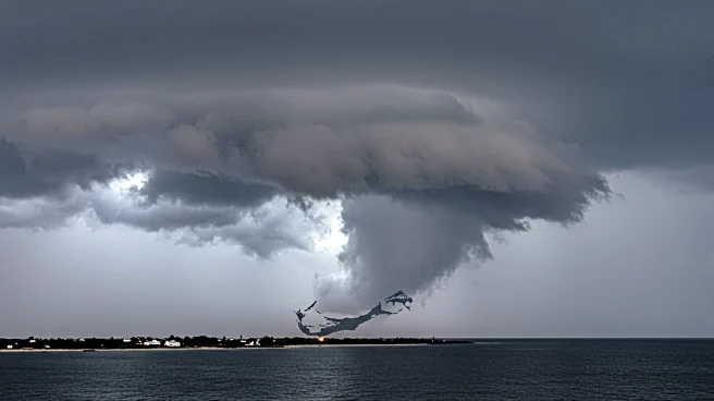
Hurricane Erin has intensified into a Category 5 storm, with maximum sustained winds reaching 160 mph. The storm, which rapidly strengthened from a tropical storm, is currently located 105 miles north of Anguilla. Erin's rapid intensification is attributed to warm ocean waters and favorable atmospheric conditions. The storm's outer bands are affecting the Northern Leeward Islands, with tropical storm watches in effect for St. Martin, St. Barthélemy, and Sint Maarten. While Puerto Rico may experience some rain and winds, the storm is expected to pass well north of the U.S. territory.
Why It's Important?
The rapid intensification of Hurricane Erin underscores the challenges posed by climate change, as warmer ocean temperatures contribute to the formation of stronger storms. This phenomenon complicates forecasting and emergency planning, as storms can quickly escalate in severity. The potential impact on Bermuda highlights the need for preparedness in hurricane-prone regions. The economic and infrastructural damage from such storms can be significant, affecting local economies and the safety of residents.
What's Next?
Hurricane Erin is expected to continue moving west-northwest before turning northward early next week. The storm is likely to remain a major hurricane as it curves between the Southeast U.S. and Bermuda. While the U.S. East Coast is expected to remain unaffected, Bermuda may need to prepare for potential impacts. The storm could transition into a powerful nontropical storm as it moves towards Atlantic Canada, eventually being absorbed by the jet stream near Greenland and Iceland.