


What is the story about?
What's Happening?
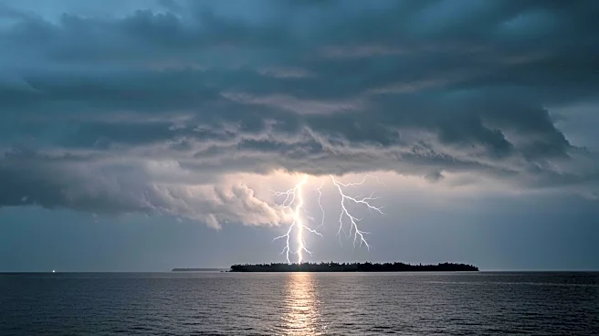
Hurricane Erin has rapidly intensified in the Atlantic, reaching Category 4 status with sustained winds of 150 mph. The storm, initially a tropical storm, quickly escalated to a Category 5 hurricane before slightly weakening. Positioned approximately 150 miles northeast of San Juan, Puerto Rico, Erin is moving westward at 15 mph. Although the hurricane's center is not expected to make landfall, it poses a significant threat of flooding rains to nearby islands. The National Hurricane Center has issued tropical storm watches for St. Martin, St. Barts, and the Turks and Caicos Islands, warning of potential flash flooding and landslides. The U.S. government has deployed over 200 FEMA employees to Puerto Rico as a precaution, with shelters inspected and ready to open if necessary.
Why It's Important?
The rapid intensification of Hurricane Erin highlights the increasing volatility of weather patterns, potentially linked to climate change. Such storms can complicate forecasting and emergency planning, posing risks to affected regions. The hurricane's proximity to land raises concerns about severe weather impacts, including flooding and landslides, which could disrupt local communities and economies. The storm's potential to affect the U.S. East Coast with powerful rip currents further underscores the need for vigilance and preparedness. As climate change continues to influence storm behavior, understanding and adapting to these changes becomes crucial for disaster management and mitigation strategies.
What's Next?
Forecasters predict that Hurricane Erin will remain a major hurricane through the next week, although it is expected to slowly weaken due to increased wind shear. Authorities in the Bahamas are preparing public shelters and urging residents to monitor the storm closely. The hurricane's impact on the U.S. East Coast, particularly through rip currents, will require ongoing attention and safety measures. As the Atlantic hurricane season progresses, the potential for additional storms necessitates continued readiness and response planning from government agencies and affected communities.
Beyond the Headlines
The rapid intensification of Hurricane Erin may be indicative of broader climate trends, with scientists linking such phenomena to global warming. The increased water vapor and ocean temperatures provide fuel for hurricanes to strengthen quickly, complicating forecasting efforts. This underscores the importance of addressing climate change and its impacts on weather patterns, as well as enhancing emergency preparedness and response capabilities. The storm's development also highlights the need for improved infrastructure and resilience in vulnerable regions to mitigate the effects of severe weather events.