


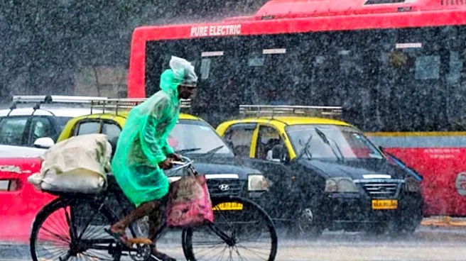
The southwest monsoon is expected to hit Kerala on May 26, nearly a week ahead of its normal onset date of June 1, according to the India Meteorological Department. The weather office has also said the monsoon has already advanced into parts of the Andaman and Nicobar Islands, marking the formal beginning of India’s most important weather season.
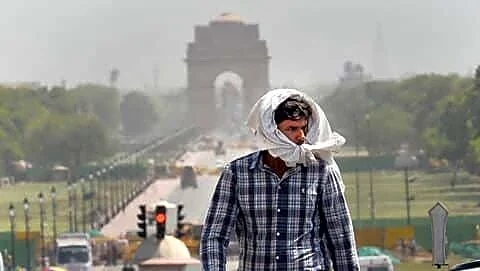
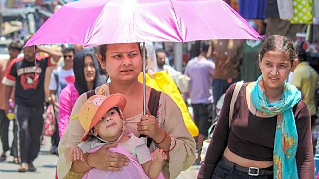
Every year, as millions wait for relief from punishing summer heat, one question returns with clockwork regularity: why does the monsoon almost always enter mainland India through Kerala first?
The answer lies in geography, ocean winds, Earth’s rotation, and the unique shape of the Indian subcontinent.
Why Monsoon Begins From Kerala
The southwest monsoon is essentially a giant seasonal wind system. During summer, the Indian landmass
heats up much faster than the surrounding oceans. Hot air rises over north and central India, creating a low-pressure area. At the same time, relatively cooler air over the Indian Ocean rushes in to fill this vacuum.
These moisture-laden winds travel from the southern Indian Ocean towards the subcontinent. Before reaching India, they cross the equator and curve because of the Coriolis effect — the same force caused by Earth’s rotation that influences cyclones and global wind patterns.
As a result, the winds approach India from the southwest over the Arabian Sea. Kerala is the first major stretch of the Indian mainland standing directly in the path of these rain-bearing winds.
Kerala’s geography gives the monsoon another push.
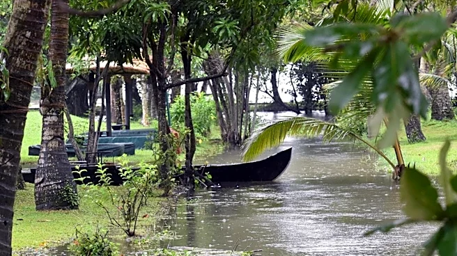
Running parallel to the state’s coastline are the Western Ghats, a mountain chain that acts like a giant wall. When the moisture-heavy monsoon winds hit these mountains, they are forced to rise upwards. As the air rises, it cools rapidly, causing water vapour to condense into clouds and rain. This process is called orographic rainfall.
That is why Kerala and the Konkan coast receive some of the heaviest rainfall in India during the monsoon season.
Without the Western Ghats, the monsoon would likely behave very differently over peninsular India.
Why Not Tamil Nadu Or Gujarat Don’t Get Monsoon First?
At first glance, it may seem that other coastal states should also receive the monsoon early. But India’s geography and wind direction make Kerala the natural entry gate.
Tamil Nadu lies on the southeastern side of the peninsula and falls in the rain shadow region of the Western Ghats during the southwest monsoon. The winds lose much of their moisture before crossing the mountains. That is why Tamil Nadu receives most of its rainfall later, during the northeast monsoon between October and December.
Gujarat, meanwhile, lies much farther north. The monsoon currents first need to strengthen over the Arabian Sea and move upwards along India’s west coast before reaching there.
The Arabian Sea Branch And Bay Of Bengal Branch
The Indian monsoon actually splits into two major branches after approaching the subcontinent.
One branch moves over the Arabian Sea and strikes Kerala first before travelling northwards along the western coast towards Karnataka, Goa, Maharashtra and Gujarat.
The second branch moves into the Bay of Bengal, curves towards northeastern India, and later spreads across the Indo-Gangetic plains.
This is why the northeast often receives monsoon rains very early too, despite being geographically distant from Kerala.
How IMD Declares Monsoon Arrival
The India Meteorological Department does not declare monsoon onset based on one rainy day alone.
Meteorologists track several scientific indicators, including consistent rainfall over designated weather stations, wind speed and direction, outgoing longwave radiation, cloud patterns, and the depth of moisture in the atmosphere.
Only after these conditions persist does the IMD officially announce monsoon onset over Kerala.
The date is important because it helps estimate how the monsoon may progress across the rest of the country.
What IMD Has Said About This Year’s Monsoon
While the monsoon may arrive early in Kerala this year, the broader seasonal forecast is more cautious.
The IMD has projected rainfall at around 92 per cent of the Long Period Average (LPA), placing it in the “below normal” category. Meteorologists have linked this concern to the possible development of El Nino conditions later in the season.
An early onset does not automatically mean a strong monsoon throughout the season. Experts often warn that onset dates and total seasonal rainfall are not always connected.
How El Nino Affects India’s Monsoon
El Nino is a climate pattern marked by unusual warming of sea surface temperatures in the central and eastern Pacific Ocean.
Even though it develops thousands of kilometres away from India, it can disrupt global atmospheric circulation patterns.
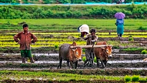
For India, El Nino often means weaker monsoon winds, reduced rainfall, longer dry spells, higher temperatures, stress on agriculture and water supplies.
Studies have repeatedly shown that many drought years in India coincided with strong El Nino events. Researchers also note that El Nino can increase weather extremes, meaning fewer rainy days overall, but occasional bursts of intense rainfall.


/images/ppid_59c68470-image-177918004776877980.webp)

/images/ppid_a911dc6a-image-177911722797071905.webp)