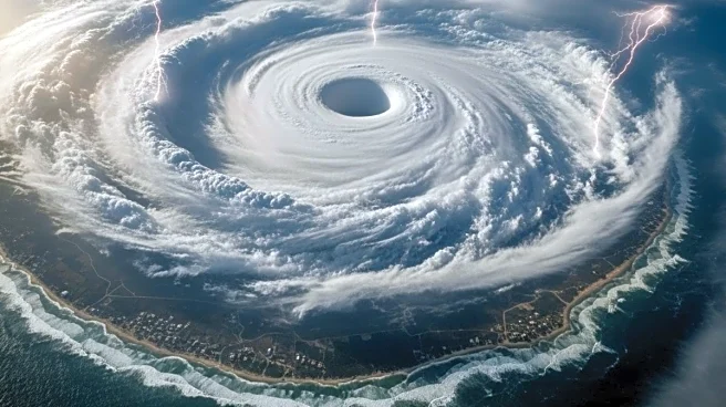


Several Indian states are expected to receive very heavy rainfall. A well-marked low-pressure area formed in the region on Monday, and the India Meteorological Department (IMD) warned that it could turn into a cyclonic storm. The storm will be named ‘Cyclone Senyar’ once it is formed.
In a bulletin issued on November 24, IMD stated, “The Well-Marked low-pressure area, Malaysia, and adjoining Strait of Malacca on November 24. It is very likely to intensify into a depression over the south Andaman Sea during the next 24 hours. A low-pressure area is likely to form over Comorin and adjoining areas of southwest Bay of Bengal and Sri Lanka around November 25.”
⚠️ IMD Weather Warning – Stay Alert!
A low-pressure system near Malaysia & the Strait of Malacca
is likely to intensify into a depression over the South Andaman Sea within 24 hours. Expect heavy rain, strong winds & rough seas in the region.
Avoid sea travel, secure… pic.twitter.com/IFQ1Lqm6to
— India Meteorological Department (@Indiametdept) November 24, 2025
Heavy Rainfall In THESE Regions
The weather department has forecast “heavy to very heavy rainfall” over the Andaman and Nicobar Islands between November 25 and 29. Heavy rainfall is also very likely over Tamil Nadu from November 25 to 27, in Kerala and Mahe during November 24 to 26, Lakshadweep on November 24, and Coastal Andhra Pradesh and Yanam on November 29. It also predicted “very heavy rainfall” over Tamil Nadu on 24th & 28th-30th, Coastal Andhra Pradesh & Yanam on 30th November.
Cyclone Senyar: Landfall Timing and Path
While the cyclone’s landfall timing remains uncertain, IMD said a low-pressure system that developed over the south Andaman Sea has shifted into the southeast Bay of Bengal and is likely to intensify steadily into a depression early next week. As it tracks west-northwest, the system is projected to strengthen further and may evolve into Cyclonic Storm ‘Senyar’ by November 26.
/images/ppid_59c68470-image-177045503348888546.webp)

/images/ppid_59c68470-image-177045506769210684.webp)
/images/ppid_59c68470-image-17704550264149240.webp)
/images/ppid_59c68470-image-177045503242759476.webp)


/images/ppid_a911dc6a-image-177045442807281867.webp)

/images/ppid_a911dc6a-image-177045405626793490.webp)
/images/ppid_a911dc6a-image-177045402619975163.webp)