


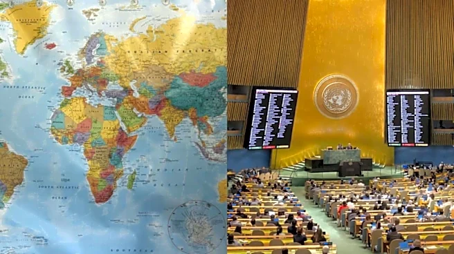
A new United Nations world map has drawn attention for the way it depicts Arunachal Pradesh and Aksai Chin, with both regions appearing between separate Indian and Chinese claim lines.
The map, issued on July 1, 2026, marks the southern boundary of Arunachal Pradesh adjoining Assam as a “Chinese Line”, while the State’s border with Nagaland is not shown, The Hindu reported. Its northern boundary with China’s Tibet is instead marked as an “Indian Line”.
Arunachal’s Unusual Depiction
The unusual depiction comes shortly after India backed a UN resolution on September 4 calling for greater accuracy and fairness in global maps.
Aksai Chin Between Claim Lines
Aksai Chin has similarly been shown between competing boundary markings. Its eastern limits are
labelled the “Indian Line”, while a “Chinese line” appears to demarcate the region from Ladakh. India officially considers the entire Aksai Chin area part of Ladakh.
The map separately marks the Line of Control in Jammu and Kashmir with a dotted line and includes a note stating that the final status of the region remains unresolved between India and Pakistan. However, it does not provide a similar explanation for the separate Indian and Chinese claim lines shown around Arunachal Pradesh and Aksai Chin.
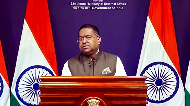
India’s support for the UN resolution does not amount to acceptance of any particular territorial depiction. The Ministry of External Affairs has stressed that the country’s sovereign territory, including Jammu and Kashmir and Ladakh, must be represented according to India’s official map. MEA spokesperson Randhir Jaiswal said any inaccurate or misleading portrayal was unacceptable.
What India’s Official Map Shows
“India’s sovereign territory, including the Union Territories of Jammu and Kashmir and Ladakh, must be depicted in accordance with India’s official map. Any inaccurate or misleading depiction is unacceptable,” Jaiswal said. Aksai Chin is part of Ladakh as per India’s official position.
India’s official map includes Arunachal Pradesh and the entirety of Jammu and Kashmir within its territory, with Aksai Chin forming part of Ladakh.
/images/ppid_59c68470-image-178876753513579139.webp)



/images/ppid_59c68470-image-17887475609955937.webp)