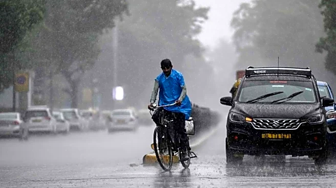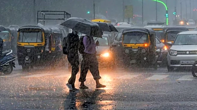


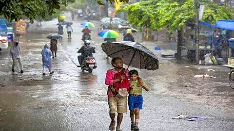

Despite the shadow of El Niño, India has received ‘near-normal’ rainfall in July, beating the India Meteorological Department’s (IMD) monthly forecast of below-normal rain.
The month ended with a 1% rainfall surplus, against the prediction of a 6% deficiency.
According to the weather department’s forecast, rainfall in July was likely to be below normal — less than 94% of the long-period average (LPA) — following India’s fifth-driest June since 1901. However, rainfall activity gathered pace in July and significantly reduced the staggering deficit of 40% in June, revised to 35.4%, to nearly 13% in July.
“El Niño is not the only factor that decides monsoon output. Clearly, it did not have any impact in July, though some deficit persists in the northern
plains and southern peninsula,” said IMD chief Dr Mrityunjay Mohapatra.
Elaborating on why the IMD got its forecast wrong, he said, “Even if I agree that the all-India average rainfall prediction has gone wrong to some extent, it has not gone wrong completely. It is true that we got 1% above-normal or near-normal rainfall in July, when we had predicted a deficiency of at least 6%. But this rainfall was not uniformly distributed across India. We had correctly predicted a rain deficiency over the northern plains, parts of the southern peninsula and the north-east.”
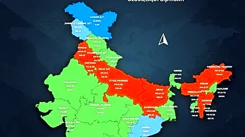
As many as 344 districts, or 46%, still ended with deficient rainfall across India, mostly in Uttar Pradesh, Bihar, Andhra Pradesh, Kerala, Telangana, Madhya Pradesh, Punjab, Rajasthan and the north-eastern states.
Overall, the southern peninsula is still reeling under a deficit of nearly 23%, along with a deficit of 29% in east and north-eastern India. As many as 17 of the 36 subdivisions experienced a rainfall deficit, according to the data.
Why Did The Forecast Go Wrong?
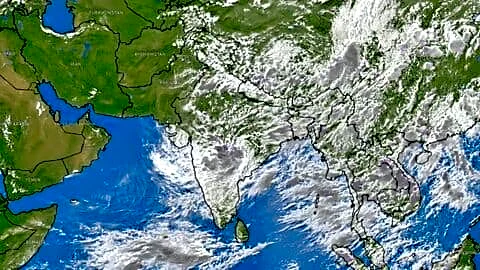
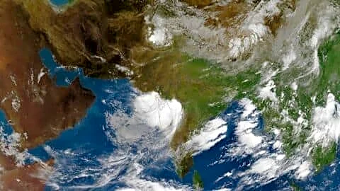
The top weather scientist attributed the discrepancy to intra-seasonal variations within the monsoon season, marked by multiple low-pressure systems from the Bay of Bengal. Despite moderate El Niño conditions over the equatorial Pacific Ocean and a neutral Indian Ocean Dipole (IOD) — both unfavourable for the monsoon — four low-pressure systems, or rain-bearing systems, formed in the Bay of Bengal and moved westwards, sweeping across central India.
Two of them even intensified into ‘depressions’, causing increased rainfall over states such as Odisha, Maharashtra and Gujarat.
“Normally, we do get about three to four such systems in July. But the number of days that these systems lasted was very high. The total number of low-pressure system days was 24, against the normal 13 to 14 days — the highest since 2017,” said Mohapatra, highlighting that such intra-seasonal variations and their interactions are still very complex to capture in forecasting models. Climate change has further exacerbated the challenge, as a warming atmosphere is known to increase rainfall intensity by at least 10%.
India’s weather department, the IMD, uses 10 forecasting models, from which it selects five to run its multi-model ensemble, which is finally used to make monthly predictions. The IMD chief said its teams would study the intra-seasonal variations further to improve monsoon forecasts.
No Change In Overall Monsoon Forecast: IMD Chief
This also follows widespread concerns over El Niño, which is known to weaken the monsoon. It formed in June and became moderate in July. However, according to meteorologists, it did not gain as much strength in July as expected. Nonetheless, the IMD warned that it would become stronger in the second half of the monsoon season.
However, the IMD chief reiterated that the weather department stands by its long-range forecast of below-normal rainfall this monsoon season. “We are not changing our monsoon forecast, according to which India is likely to see below-normal rainfall — less than 90% of the long-period average, with a forecast error of +/- 4%,” he emphasised.