


Most of India’s great rivers follow a familiar pattern. The Ganga, Brahmaputra, Godavari, Krishna, Mahanadi and Cauvery all broadly flow eastward before eventually emptying into the Bay of Bengal. That pattern shaped India’s geography, agriculture, trade routes and civilisations for thousands of years.
But two major rivers break the rule completely.
The Narmada and Tapti rivers flow west across central India and empty into the Arabian Sea instead, which is something surprisingly unusual in the Indian subcontinent.
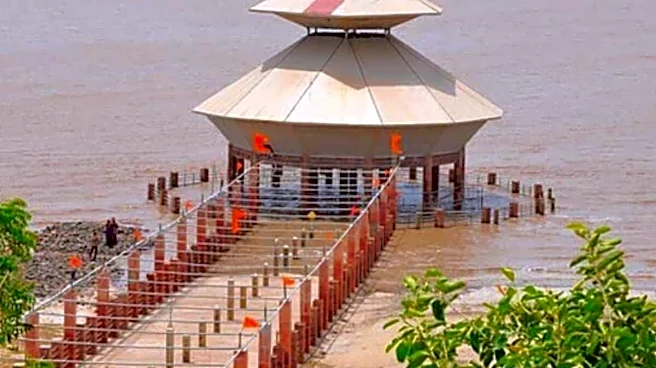
The Narmada, one of India’s most sacred and historically important rivers, begins at Amarkantak in Madhya Pradesh and travels over 1,300 kilometres westward before reaching the Gulf of Khambhat in Gujarat.
Just south of it, the Tapti River
follows a remarkably similar route from central India toward the Arabian Sea near Surat.
According to the Geological Survey of India, the reason lies deep beneath the landscape itself.
Unlike many east-flowing rivers that developed across broad plains sloping toward the Bay of Bengal, the Narmada and Tapti flow through massive rift valleys, long geological depressions formed by tectonic activity millions of years ago. These valleys effectively created natural westward corridors through the middle of the Indian peninsula.
The Narmada Rift Valley is particularly important geologically.
Scientists describe it as one of India’s major tectonic lineaments, stretching between the Vindhya and Satpura mountain ranges. Instead of descending eastward like most peninsular rivers, the river follows this structural trough westward across central India.
That geological setting also gives the river a dramatically different appearance.
Unlike the wide delta-building rivers of eastern India, the Narmada cuts through rocky gorges, marble cliffs and deep valleys. Places like the Marble Rocks of Bhedaghat near Jabalpur became famous precisely because of this unusual terrain.
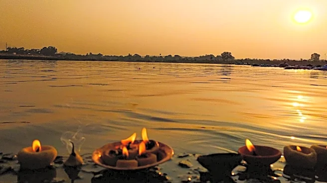
The river also carries enormous religious significance.
The Narmada is considered one of India’s holiest rivers, with devotees performing the Narmada Parikrama.
The Tapti, though less famous nationally, is equally important regionally.
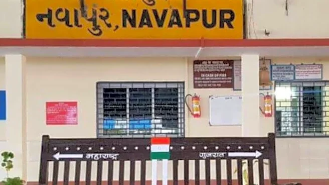
Flowing through Madhya Pradesh, Maharashtra and Gujarat, it historically supported trade networks and agricultural systems across western India. Surat, one of India’s major commercial cities, developed partly around the river’s outlet into the Arabian Sea.
West-flowing rivers themselves are relatively rare in peninsular India.
According to the National Council of Educational Research and Training (NCERT), most peninsular rivers flow east because the Deccan Plateau generally slopes toward the Bay of Bengal. The Arabian Sea side of India is geographically narrower, giving west-flowing rivers much shorter catchment areas overall.
That is why the Narmada stands out so dramatically.
It is not merely west-flowing. It is one of the very few major Indian rivers able to cross nearly the entire width of central India against the broader drainage pattern of the subcontinent.
And perhaps that is what makes these rivers so fascinating.
In a country where geography usually follows one dominant direction, the Narmada and Tapti quietly carved their own path across India — flowing opposite to most of the nation’s great rivers for millions of years.


/images/ppid_a911dc6a-image-178065171192646070.webp)

/images/ppid_59c68470-image-178059752912058550.webp)


/images/ppid_59c68470-image-178066257012497180.webp)