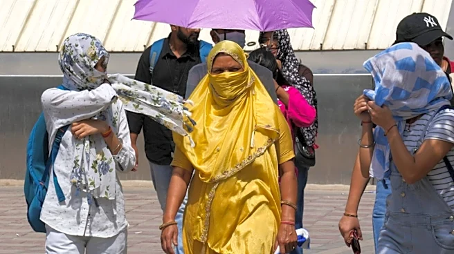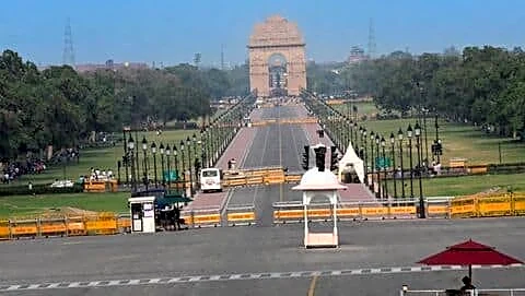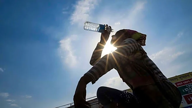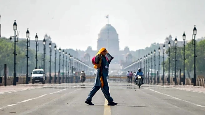


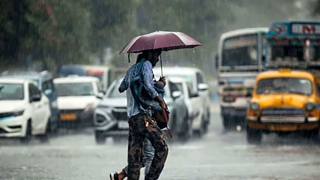


Delhi Heatwave: Despite forecasts of rain and thunderstorms over the weekend, Delhi witnessed extreme heat on Sunday as high temperatures combined with humidity pushed the ‘feels like’ temperature above 50 degrees Celsius, while the city recorded its warmest June morning in two years.
According to the India Meteorological Department (IMD), the maximum temperature at Safdarjung, the city’s base weather station, reached 41.8 degrees Celsius, which was 4.6 degrees above normal. Night provided no respite as the minimum temperature settled at 31.1 degrees Celsius, 3.2 degrees above normal and the highest June minimum recorded since June 2024.
The last time the city’s minimum temperature was higher was on June 14, 2024, when it was recorded at 33.3
degrees Celsius.
According to the weather office, a heatwave has been realised over Delhi, and the heat index, or ‘feels-like’ temperature at 5:30 pm was around 50.7 degrees Celsius because of high humidity, making outdoor conditions especially dangerous. Humidity levels ranged between 37 and 70 per cent during the day.
Weather stations across the city also reported high temperatures. Lodhi Road recorded 42.1 degrees Celsius, Ridge touched 42.6 degrees Celsius, Palam recorded 42 degrees Celsius, and Ayanagar registered 41.8 degrees Celsius. The minimum temperature remained above normal across all five IMD observatories in the city.
The intense heat has been made worse by the delayed arrival of the southwest monsoon. The monsoon normally reaches Delhi around June 27-28, but it is now expected to arrive around July 4 if conditions remain favourable.
According to Skymet Weather, the delay is due to dry westerly winds from Pakistan keeping temperatures high, while moist southwesterly winds from the Arabian Sea are increasing humidity. The interaction between these air masses is creating clouds but not enough rainfall to bring relief.
“Normally, the monsoon reaches Delhi around June 27-28, after which temperatures begin to ease and humidity increases. This year, however, the monsoon is likely to be delayed by about a week. Dry westerly winds from Pakistan are keeping temperatures high, while southwesterly winds from the Arabian Sea are also reaching Delhi and increasing humidity,” Mahesh Palawat, Vice President (Meteorology and Climate Change), Skymet told news agency PTI.
“When these dry and moist air masses interact, clouds do form, but there is not enough moisture for widespread rainfall. By the time cloud formation takes place, usually around 4 or 5 pm, the day’s maximum temperature has already been recorded. That is why both the maximum temperature and the ‘feel-like’ temperature have remained unusually high,” he said.
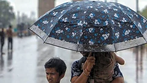
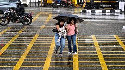
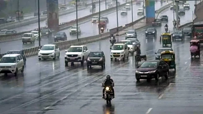
The IMD has issued a yellow alert for rain, thunderstorms and gusty winds over the next two days. While temperatures may remain around 40-42 degrees Celsius on Monday, the weather department expects a gradual drop from Tuesday onwards. The maximum temperature could fall below 40 degrees Celsius by July 1 and reach around 35 degrees Celsius by July 3 if rainfall activity increases.
The weather office also said conditions are favourable for the southwest monsoon to advance into more parts of north India over the coming days, including Uttar Pradesh, Uttarakhand and adjoining regions, before reaching Delhi.
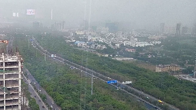
Meanwhile, Delhi’s air quality remained in the ‘moderate’ category, with the Air Quality Index (AQI) recorded between 152 and 162.
(With inputs from agencies)