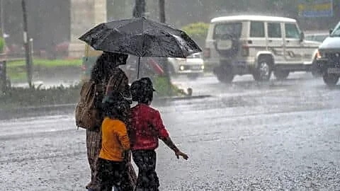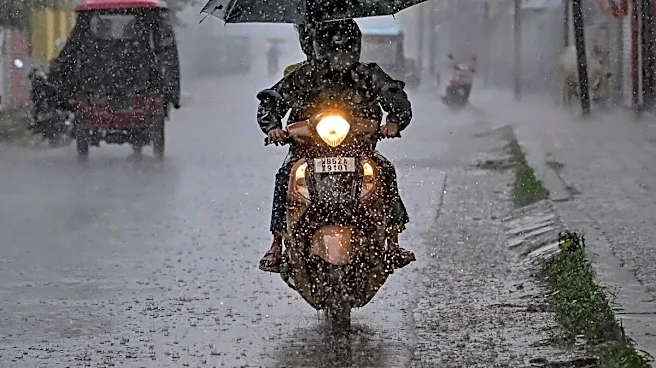


Mumbai received an average of over 200 mm of rainfall within an intense 8-hour overnight spell. This massive downpour officially marked the arrival of the Southwest Monsoon after a 13-day delay.
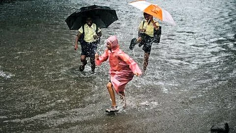
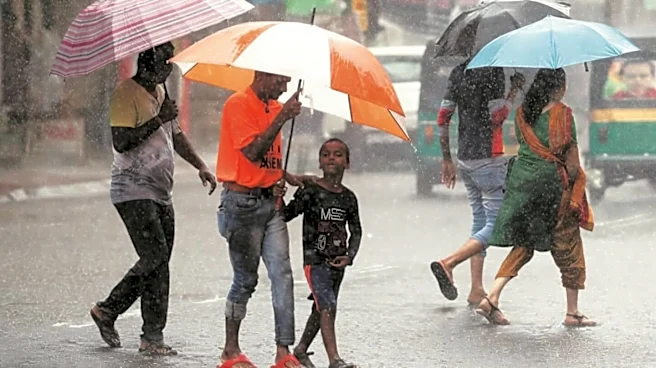
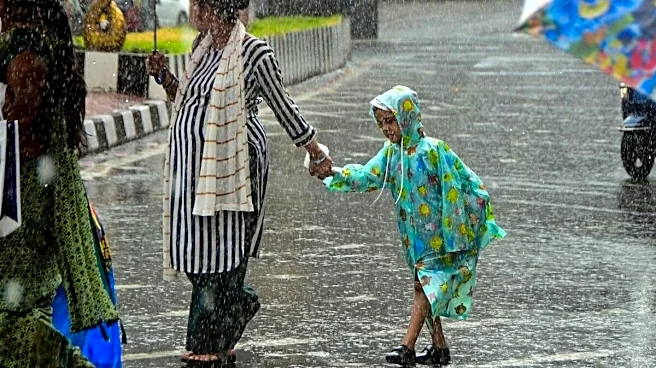
While it gave the much-needed respite from rain, it also brought along the woes such as waterlogging and disruption of life. Why does this happen to Mumbai every year? News18 explains.
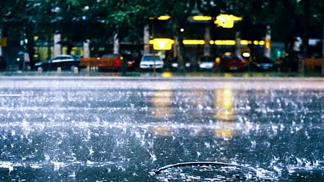
Mumbai rain in 24 hours
The India Meteorological Department (IMD) initially issued a red nowcast warning early in the morning, which has since been downgraded to an Orange Alert as moderate to intense spellscontinue.
The city recorded 52% of its entire June average rainfall in just five hours last night.
- Malwani (Malad): 342 mm (Highest recorded locality)
- Parel: 334 mm
- Powai: 294 mm
- Dadar & Wadala: 290 mm
- Western Suburbs (Average): 208 mm
- Eastern Suburbs (Average): 167 mm
#WATCH | Navi Mumbai, Maharashtra | | Traffic snarls witnessed at Thane–Belapur Road
Navi Mumbai
received continuous heavy rainfall since last night pic.twitter.com/QuJAJOyoKJ
— ANI (@ANI) June 24, 2026
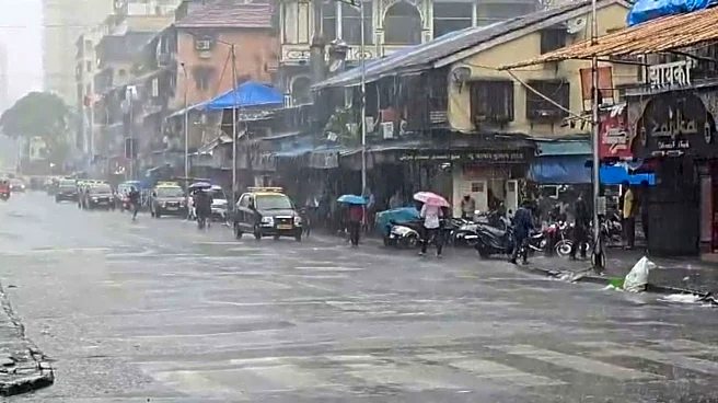
Waterlogging and traffic updates
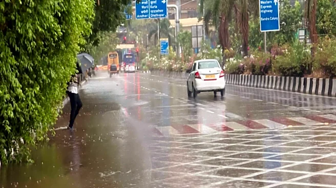
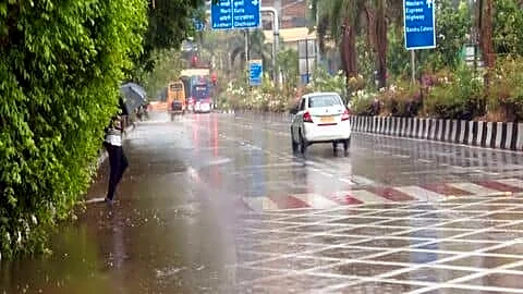
Severe waterlogging hit low-lying areasduring the early morning hours, disrupting traffic and standard rush hour commutes.
Andheri Subway & Malad Subway: Both subways faced heavy inundation and were temporarily shut down for vehicular movement. Water has since receded.
Sion (King’s Circle / Gandhi Market): Widespread knee-deep waterlogging slowed down traffic early on. BMC pumps successfully activated to drain out the excess water.
Hindmata & Dadar TT: Suffered significant temporary flooding, alongside reports of an uprooted tree falling on a car in Dadar.
Other Affected Pockets: Flooding and slow traffic were reported near Saki Naka metro station, Everard Nagar subway, and sections of the Western Express Highway.
Maharashtra | Due to track damage incident at Trans Harbour line of Mumbai Local, 24 trains have been cancelled till now . Thought the traffic is resumed in the affected portion after repairing but speed is limited due to caution in the affected portion of the trans harbour line… pic.twitter.com/yhNuq7G6Jp
— ANI (@ANI) June 24, 2026
Public Transport Status
Suburban Local Trains: Operating mostly normally on Western and Central lines, though some delays and track accumulation occurred on the Central Railway’s Trans-Harbour line.
BEST Buses: Fleet operations continue running, though several routes have been diverted away from low-lying flooded areas.
The Mithi River is currently flowing at 1.83 metres, which is comfortably below the danger mark.
#WATCH | Mumbai | The car owner says, “…The tree fell on my car while it was parked…The driver was rescued by the public…The government should provide me some compensation for the damage…” https://t.co/OpTmwjG9fO pic.twitter.com/eou5hez1d4
— ANI (@ANI) June 24, 2026
What causes the flooding?
Mumbai floods annually during the monsoon due to its saucer-like topography, land reclamation, and sea-level vulnerabilities. These natural challenges are compounded by a colonial-era drainage system, rapid loss of permeable green spaces and mangroves, and frequent coincidences of heavy downpours with high sea tides.
Topography and Land Reclamation: Much of modern Mumbai was stitched together by filling shallow seas and creeks. Because parts of the city sit below the high-tide mark and the geography naturally dips in the center, rainwater is prone to pooling.
The Tide Factor: Mumbai’s gravity-fed stormwater drains rely heavily on low tides to empty into the Arabian Sea. When torrential rain coincides with a high tide, lock gates are closed to prevent seawater from flooding the city, trapping the rainwater inland.
#WATCH | Maharashtra: Rain lashes parts of Mumbai city; visuals from Malabar Hills
BMC weather forecast has predicted a generally cloudy sky with moderate to heavy rain, with the possibility of lightning and thunder in the city and suburbs pic.twitter.com/2M90x41hWC
— ANI (@ANI) June 24, 2026
Outdated Drainage Capacity: The underground stormwater network was largely designed by the British and was only built to handle a maximum rainfall intensity of 25 mm to 50 mm per hour. Severe monsoon bursts often dump 100 mm to 300 mm in a single day, overwhelming the system.
Urban Concretisation: Unchecked urban development, loss of wetlands, and the paving of open spaces have significantly reduced the ground’s ability to absorb water.
Clogged Waterways: Solid waste and silt frequently choke natural drainage channels, further reducing the city’s water-carrying capacity, particularly in areas near the Miti River.