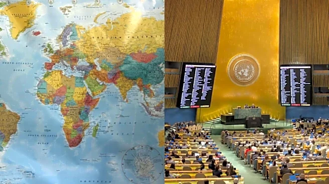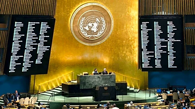



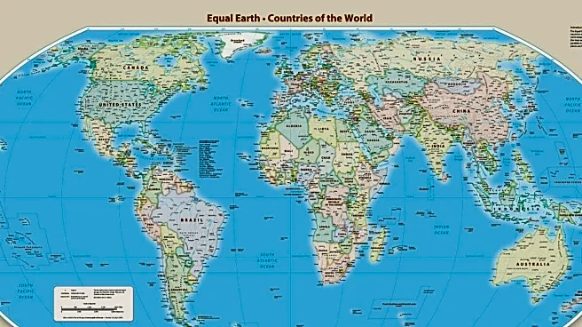
The United Nations General Assembly has backed a resolution calling for greater use of the Equal Earth projection, a world map designed to represent the actual size of continents, particularly Africa, more accurately.
The UN move has marked a significant development in Africa’s long-running campaign to challenge distortions created by the widely used Mercator map. The campaign for the non-binding resolution was spearheaded by Togo, a country in West Africa, on behalf of the African Union (AU).
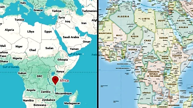
The resolution seeks to address the way the Mercator projection makes regions near the equator appear smaller while visually inflating territories at higher latitudes. Africa, in particular, appears disproportionately small compared with Greenland, despite
being roughly 14 times larger.
What Changes After Adoption Of Correct The Map Resolution?
The 2018 Equal Earth projection, promoted by the #CorrectTheMap campaign, is an equal-area map that gives a more realistic visual representation of the size of continents. The UN vote does not legally compel governments or institutions to abandon the Mercator projection, but supporters expect it to influence education, technology and other areas where maps are routinely used.
Africa has been central to the campaign. The AU endorsed the initiative in 2025, with Togo taking the lead in bringing the issue before the UN. The bloc has argued that the distorted representation of Africa has had broader effects on how the continent is perceived in education, media and international affairs.
Togo’s Foreign Affairs Minister Robert Dussey described the debate as a scientific rather than political matter. “This discussion is not a political discussion [but] a scientific discussion, because there is scientific proof so we all have to accept the reality” Dussey said, The Guardian reported.
Meanwhile, AU Commission Chairperson Mahmoud Ali Youssouf has welcomed the UN resolution promoting the new map. The “Correct the Map” resolution, secured 164 votes, including India, France and the UK. The US opposed it, while six countries abstained.
The AU’s 54 member states had already adopted it in February and said it more accurately represented the sizes of all continents, particularly Africa. France has also announced plans to move away from Mercator.
Why Was Mercator Projection Created?
The Mercator projection was created by Flemish cartographer Gerardus Mercator in 1569 primarily for maritime navigation. While useful for preserving directions, its design significantly distorts the relative size of landmasses, particularly towards the poles. The projection distorts continent sizes, enlarging areas near the poles like North America and Greenland while shrinking Africa and South America.
African campaigners described the continued dominance of the projection as a form of “cartographic colonialism”, arguing that the Equal Earth map could help reshape perceptions of the continent and promote more accurate geographical education.
/images/ppid_59c68470-image-178876753513579139.webp)



/images/ppid_59c68470-image-178859502187743778.webp)